Little Pine Barren Creek 1 Dam

Little Pine Barren Creek 1
Little Pine Barren Creek 1 is a private dam located in Escambia, Florida, with a primary purpose of recreation. Situated along the Little Pine Barren Creek, this Earth-type dam stands at a height of 8 feet, with a length spanning 4746 feet and a storage capacity of 252 acre-feet. The dam, constructed by unknown designers, is regulated by the state of Florida and undergoes regular inspections, enforcement, and permitting processes to ensure its safety and compliance with regulations.
Despite its recreational focus, the hazard potential of Little Pine Barren Creek 1 is currently undetermined, and its condition has not been rated. Emergency preparedness measures, such as an Emergency Action Plan (EAP) and inundation maps, have not been completed or updated. With its location in the Mobile District and under state jurisdiction, this dam presents an opportunity for water resource and climate enthusiasts to engage in monitoring, assessment, and risk management efforts to safeguard the surrounding environment and community. Further research and collaboration with relevant agencies could enhance understanding and proactive measures related to this dam and its impact on the local ecosystem.
Plan around the weather
Same NOAA / yr.no feed Snoflo's iOS app uses. Watch the precipitation column on the meteogram -- rain on the basin upstream typically lifts inflow 24-72 hours later.
Next 5 days, hour by hour
Temperature line with weather symbols on top, snow + rain accumulation as columns, humidity as a dotted line.
5-day forecast table
Every 3 hours, broken out across temperature, snow, rain, humidity, and wind. Each cell is colour-coded relative to the column min/max.
| Time | Condition | Temp (°F) | Snow (in) | Rain (in) | Humidity (%) | Wind (mps) | Wind dir |
|---|---|---|---|---|---|---|---|
| Loading detailed forecast… | |||||||
15-day temperature & precipitation
Daily temperatures, snow, and rain projected over the next two weeks.
Nearby streamflow gauges
USGS streamgauges around Little Pine Barren Creek 1 -- inflows here typically show up in storage 24-72 hours later.
| Streamgauge | Discharge | View |
|---|---|---|
| Brushy Creek Near Bratt | 22 cfs | → |
| Big Escambia Creek At Flomaton Al | 405 cfs | → |
| Big Escambia Cr At Sardine Br Nr Stanley Crossroad | 168 cfs | → |
| Escambia River Near Century | 3,150 cfs | → |
| Perdido River At Barrineau Park | 483 cfs | → |
| Styx River Near Elsanor | 191 cfs | → |
Make a day of it
Boat launches, lakeside camping, fishing access, and other reservoirs near Little Pine Barren Creek 1.
Boat launches
See all →


Campgrounds
See all →


Fishing spots
See all →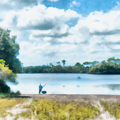


River runs
See all →

About Little Pine Barren Creek 1
Where does the data for Little Pine Barren Creek 1 come from?
Structural and regulatory data come from the U.S. Army Corps of Engineers' National Inventory of Dams (NID). Weather forecast comes from NOAA / yr.no -- the same feed Snoflo's iOS app uses.
How often is the report updated?
NID structural data refreshes annually as the Corps publishes updated assessments. The weather forecast refreshes throughout the day.
What does the Undetermined hazard rating mean?
The Corps of Engineers' hazard potential classification grades probable consequences if the dam fails: High = probable loss of human life; Significant = no probable loss of human life but possible economic loss / environmental damage; Low = no probable loss of human life, only minor economic / environmental losses. See the Dam Data Reference card below for the full definitions.
What's "% of normal"?
The current storage value compared to the historical average storage on this calendar day. 100% = right on average; values above 100% mean above-normal storage (wet year); values below mean below-normal (dry year or drought).
Can I get alerts when storage crosses a threshold?
Yes -- alerts are managed in the Snoflo iOS app. Favorite this dam, set a threshold, and you'll get a push the moment conditions cross.
Dam data reference
Condition Assessment
- Satisfactory
- No existing or potential dam safety deficiencies are recognized. Acceptable performance is expected under all loading conditions (static, hydrologic, seismic) in accordance with the minimum applicable state or federal regulatory criteria or tolerable risk guidelines.
- Fair
- No existing dam safety deficiencies are recognized for normal operating conditions. Rare or extreme hydrologic and/or seismic events may result in a dam safety deficiency. Risk may be in the range to take further action.
- Poor
- A dam safety deficiency is recognized for normal operating conditions which may realistically occur. Remedial action is necessary. POOR may also be used when uncertainties exist as to critical analysis parameters which identify a potential dam safety deficiency.
- Unsatisfactory
- A dam safety deficiency is recognized that requires immediate or emergency remedial action for problem resolution.
- Not Rated
- The dam has not been inspected, is not under state or federal jurisdiction, or has been inspected but, for whatever reason, has not been rated.
Hazard Potential Classification
- High
- Dams assigned the high hazard potential classification are those where failure or mis-operation will probably cause loss of human life.
- Significant
- Dams assigned the significant hazard potential classification are those dams where failure or mis-operation results in no probable loss of human life but can cause economic loss, environmental damage, disruption of lifeline facilities, or impact other concerns. Significant hazard potential classification dams are often located in predominantly rural or agricultural areas but could be in areas with population and significant infrastructure.
- Low
- Dams assigned the low hazard potential classification are those where failure or mis-operation results in no probable loss of human life and low economic and/or environmental losses. Losses are principally limited to the owner's property.
- Undetermined
- Dams for which a downstream hazard potential has not been designated or is not provided.