Lake Talquin Nr Bloxham Reservoir
As of July 20, 2026, Lake Talquin Nr Bloxham is holding 69 ft of water — 100% of normal storage for this date. Storage data refreshed throughout the day.

Lake Talquin Nr Bloxham
Lake Talquin is a man-made reservoir located in Florida, USA, near Bloxham. It was created in 1927 by the construction of the Talquin Dam on the Ochlockonee River. The lake has a surface area of 10,000 acres and a maximum depth of 40 feet. Its primary purpose is to provide hydroelectric power to the surrounding areas. The lake is fed by the Ochlockonee River and rainwater, and its water is used for irrigation by local farmers. The lake is also popular for recreational activities such as fishing, boating, and camping. The lake is surrounded by forests and wildlife, including deer, turkeys, and bald eagles. The lake's water level is controlled by the Talquin Dam, and it is monitored by the US Army Corps of Engineers.
Daily levels at Lake Talquin Nr Bloxham
Storage volume, pool elevation, and total release plotted from the operating agency's daily observations.
Lake or reservoir water surface elevation above NGVD 1929, ft
ft · code 62614
Plan around the weather
Same NOAA / yr.no feed Snoflo's iOS app uses. Watch the precipitation column on the meteogram -- rain on the basin upstream typically lifts inflow 24-72 hours later.
Next 5 days, hour by hour
Temperature line with weather symbols on top, snow + rain accumulation as columns, humidity as a dotted line.
5-day forecast table
Every 3 hours, broken out across temperature, snow, rain, humidity, and wind. Each cell is colour-coded relative to the column min/max.
| Time | Condition | Temp (°F) | Snow (in) | Rain (in) | Humidity (%) | Wind (mps) | Wind dir |
|---|---|---|---|---|---|---|---|
| Loading detailed forecast… | |||||||
15-day temperature & precipitation
Daily temperatures, snow, and rain projected over the next two weeks.
Nearby streamflow gauges
USGS streamgauges around Lake Talquin Nr Bloxham -- inflows here typically show up in storage 24-72 hours later.
| Streamgauge | Discharge | View |
|---|---|---|
| Ochlockonee River Nr Bloxham | 386 cfs | → |
| Little River Nr Midway | 104 cfs | → |
| Ochlockonee River Nr Smith Creek | 831 cfs | → |
| Little River Nr Quincy | 190 cfs | → |
| Telogia Creek Nr Bristol | 85 cfs | → |
| Ochlockonee River Nr Havana | 390 cfs | → |
Make a day of it
Boat launches, lakeside camping, fishing access, and other reservoirs near Lake Talquin Nr Bloxham.
Boat launches
See all →


Campgrounds
See all →


Fishing spots
See all →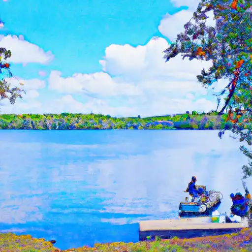


River runs
See all →

More reservoirs
See all →About Lake Talquin Nr Bloxham
Where does the data for Lake Talquin Nr Bloxham come from?
Daily storage, pool elevation, and release rates are sourced from USGS, USBR, and USACE monitoring stations. Weather forecast comes from NOAA / yr.no -- the same feed Snoflo's iOS app uses.
How often is the report updated?
Storage observations are updated daily by the operating agency. The 15-day weather forecast refreshes throughout the day. Snoflo caches and renders the most recent observation -- check the "as of" timestamp on the storage card.
What does the Hazard hazard rating mean?
The Corps of Engineers' hazard potential classification grades probable consequences if the dam fails: High = probable loss of human life; Significant = no probable loss of human life but possible economic loss / environmental damage; Low = no probable loss of human life, only minor economic / environmental losses. See the Dam Data Reference card below for the full definitions.
What's "% of normal"?
The current storage value compared to the historical average storage on this calendar day. 100% = right on average; values above 100% mean above-normal storage (wet year); values below mean below-normal (dry year or drought).
Can I get alerts when storage crosses a threshold?
Yes -- alerts are managed in the Snoflo iOS app. Favorite this reservoir, set a threshold, and you'll get a push the moment conditions cross.