Spires Dam dam

Spires Dam
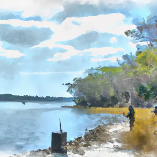
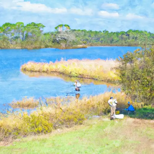
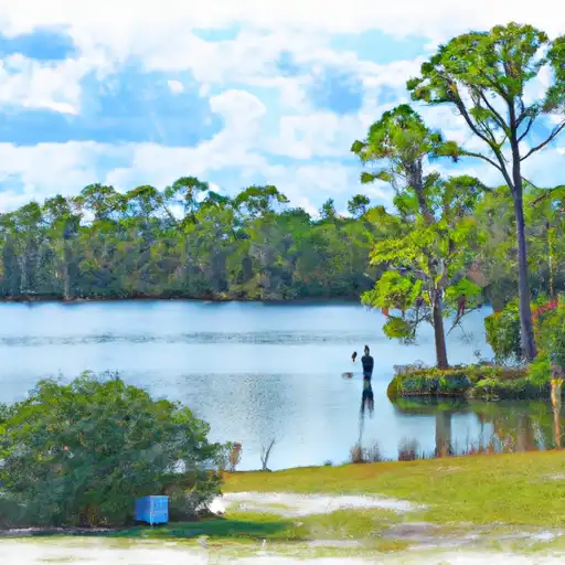
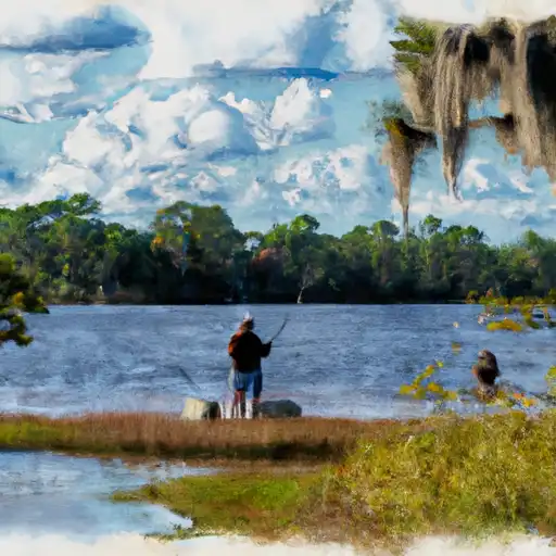
Spires Dam, located in Walton County, Florida, was completed in 1952 with a primary purpose of recreation. Managed by a private owner, this earth dam stands at 12 feet tall and spans 250 feet in length, creating a reservoir with a maximum storage capacity of 158 acre-feet. The dam is situated on Big Head Branch, a tributary to the Choctawhatchee River, and serves multiple purposes including fire protection, stock watering, and fish and wildlife habitat enhancement.
Constructed by the USDA NRCS, Spires Dam is regulated by the Northwest Florida Water Management District and undergoes regular inspections to ensure its structural integrity. With a low hazard potential, the dam has not been rated for its condition assessment, but it continues to provide recreational opportunities for visitors in the area. Despite its age, the dam remains a vital component of the local ecosystem, supporting a surface area of 13 acres and a drainage area of 1.25 square miles.
For water resource and climate enthusiasts, Spires Dam offers a glimpse into the intersection of human infrastructure and natural landscapes. As a recreational site with historical significance, the dam showcases the importance of sustainable water management practices and the ongoing efforts to balance the needs of both humans and wildlife in the face of climate change. Whether for fishing, birdwatching, or simply enjoying the outdoors, Spires Dam stands as a testament to the enduring relationship between water resources and community well-being.
Plan around the weather
Same NOAA / yr.no feed Snoflo's iOS app uses. Watch the precipitation column on the meteogram -- rain on the basin upstream typically lifts inflow 24-72 hours later.
Next 5 days, hour by hour
Temperature line with weather symbols on top, snow + rain accumulation as columns, humidity as a dotted line.
5-day forecast table
Every 3 hours, broken out across temperature, snow, rain, humidity, and wind. Each cell is colour-coded relative to the column min/max.
| Time | Condition | Temp (°F) | Snow (in) | Rain (in) | Humidity (%) | Wind (mps) | Wind dir |
|---|---|---|---|---|---|---|---|
| Loading detailed forecast… | |||||||
15-day temperature & precipitation
Daily temperatures, snow, and rain projected over the next two weeks.
Nearby streamflow gauges
USGS streamgauges around Spires Dam -- inflows here typically show up in storage 24-72 hours later.
| Streamgauge | Discharge | View |
|---|---|---|
| Choctawhatchee River Nr Bruce | 3,660 cfs | → |
| Bruce Creek At Sh 81 Nr Redbay | 23 cfs | → |
| Holmes Creek At Vernon | 381 cfs | → |
| Alaqua Creek Near Pleasant Ridge | 47 cfs | → |
| Choctawhatchee River At Caryville | 2,360 cfs | → |
| Econfina Creek Near Bennett | 378 cfs | → |


About Spires Dam
Where does the data for Spires Dam come from?
Structural and regulatory data come from the U.S. Army Corps of Engineers' National Inventory of Dams (NID). Weather forecast comes from NOAA / yr.no -- the same feed Snoflo's iOS app uses.
How often is the report updated?
NID structural data refreshes annually as the Corps publishes updated assessments. The weather forecast refreshes throughout the day.
What does the Low hazard rating mean?
The Corps of Engineers' hazard potential classification grades probable consequences if the dam fails: High = probable loss of human life; Significant = no probable loss of human life but possible economic loss / environmental damage; Low = no probable loss of human life, only minor economic / environmental losses. See the Dam Data Reference card below for the full definitions.
What's "% of normal"?
The current storage value compared to the historical average storage on this calendar day. 100% = right on average; values above 100% mean above-normal storage (wet year); values below mean below-normal (dry year or drought).
Can I get alerts when storage crosses a threshold?
Yes -- alerts are managed in the Snoflo iOS app. Favorite this dam, set a threshold, and you'll get a push the moment conditions cross.
Dam data reference
Condition Assessment
- Satisfactory
- No existing or potential dam safety deficiencies are recognized. Acceptable performance is expected under all loading conditions (static, hydrologic, seismic) in accordance with the minimum applicable state or federal regulatory criteria or tolerable risk guidelines.
- Fair
- No existing dam safety deficiencies are recognized for normal operating conditions. Rare or extreme hydrologic and/or seismic events may result in a dam safety deficiency. Risk may be in the range to take further action.
- Poor
- A dam safety deficiency is recognized for normal operating conditions which may realistically occur. Remedial action is necessary. POOR may also be used when uncertainties exist as to critical analysis parameters which identify a potential dam safety deficiency.
- Unsatisfactory
- A dam safety deficiency is recognized that requires immediate or emergency remedial action for problem resolution.
- Not Rated
- The dam has not been inspected, is not under state or federal jurisdiction, or has been inspected but, for whatever reason, has not been rated.
Hazard Potential Classification
- High
- Dams assigned the high hazard potential classification are those where failure or mis-operation will probably cause loss of human life.
- Significant
- Dams assigned the significant hazard potential classification are those dams where failure or mis-operation results in no probable loss of human life but can cause economic loss, environmental damage, disruption of lifeline facilities, or impact other concerns. Significant hazard potential classification dams are often located in predominantly rural or agricultural areas but could be in areas with population and significant infrastructure.
- Low
- Dams assigned the low hazard potential classification are those where failure or mis-operation results in no probable loss of human life and low economic and/or environmental losses. Losses are principally limited to the owner's property.
- Undetermined
- Dams for which a downstream hazard potential has not been designated or is not provided.