Greenlakes (Lower) Dam Dam

Greenlakes (Lower) Dam
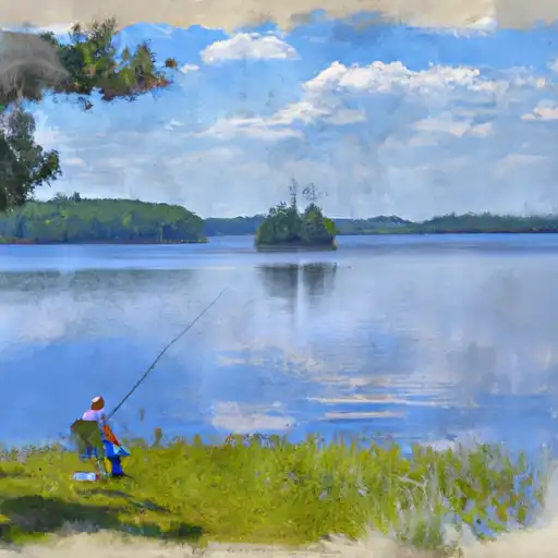
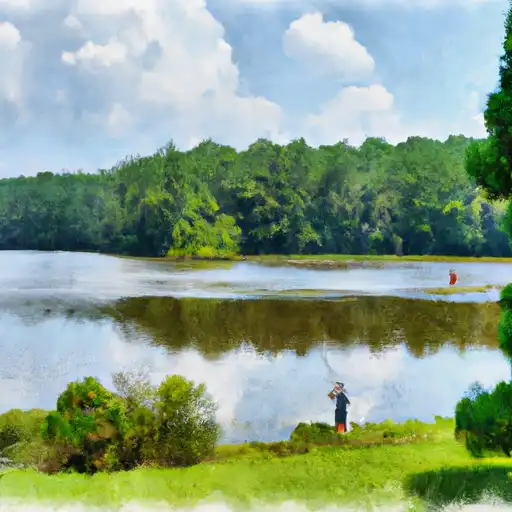
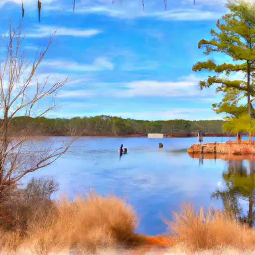
Greenlakes (Lower) Dam in Coffee, Georgia, stands as a private earth dam completed in 1986 with a primary purpose of recreation. Designed by Dan McGill, this structure boasts a modest height of 15.8 feet and a storage capacity of 224 acre-feet, providing ample opportunities for water-based activities in the area. The dam's spillway is uncontrolled, and it has a low hazard potential, making it a safe and enjoyable destination for water resource and climate enthusiasts to visit.
Located in the Jacksonville District of the US Army Corps of Engineers, Greenlakes (Lower) Dam offers a surface area of 26.6 acres and drains a watershed of 1257 acres. While the dam's condition is not currently rated, it undergoes inspections every five years to ensure its safety and functionality. With a moderate risk assessment rating of 3, the dam is actively managed to mitigate any potential risks and ensure the continued enjoyment of its recreational benefits for visitors and residents alike.
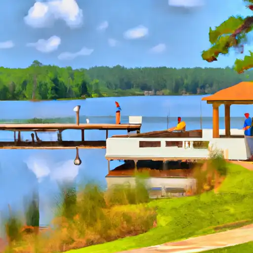
Overall, Greenlakes (Lower) Dam presents a valuable water resource for the community, providing a serene setting for recreational activities and contributing to the local ecosystem. Its controlled storage capacity and well-maintained facilities make it a vital asset for water management in the region, while its low hazard potential and moderate risk assessment underscore its importance as a safe and sustainable infrastructure for water enthusiasts to appreciate and enjoy.
Plan around the weather
Same NOAA / yr.no feed Snoflo's iOS app uses. Watch the precipitation column on the meteogram -- rain on the basin upstream typically lifts inflow 24-72 hours later.
Next 5 days, hour by hour
Temperature line with weather symbols on top, snow + rain accumulation as columns, humidity as a dotted line.
5-day forecast table
Every 3 hours, broken out across temperature, snow, rain, humidity, and wind. Each cell is colour-coded relative to the column min/max.
| Time | Condition | Temp (°F) | Snow (in) | Rain (in) | Humidity (%) | Wind (mps) | Wind dir |
|---|---|---|---|---|---|---|---|
| Loading detailed forecast… | |||||||
15-day temperature & precipitation
Daily temperatures, snow, and rain projected over the next two weeks.
Nearby streamflow gauges
USGS streamgauges around Greenlakes (Lower) Dam -- inflows here typically show up in storage 24-72 hours later.
| Streamgauge | Discharge | View |
|---|---|---|
| Alapaha River Near Alapaha | 49 cfs | → |
| Ocmulgee River At Lumber City | 3,240 cfs | → |
| Turnpike Creek Near Mcrae | 0 cfs | → |
| Satilla River Near Waycross | 156 cfs | → |
| Altamaha River Near Baxley | 5,320 cfs | → |
| Little R At Tifton Worth Co Line Rd | 1 cfs | → |


About Greenlakes (Lower) Dam
Where does the data for Greenlakes (Lower) Dam come from?
Structural and regulatory data come from the U.S. Army Corps of Engineers' National Inventory of Dams (NID). Weather forecast comes from NOAA / yr.no -- the same feed Snoflo's iOS app uses.
How often is the report updated?
NID structural data refreshes annually as the Corps publishes updated assessments. The weather forecast refreshes throughout the day.
What does the Low hazard rating mean?
The Corps of Engineers' hazard potential classification grades probable consequences if the dam fails: High = probable loss of human life; Significant = no probable loss of human life but possible economic loss / environmental damage; Low = no probable loss of human life, only minor economic / environmental losses. See the Dam Data Reference card below for the full definitions.
What's "% of normal"?
The current storage value compared to the historical average storage on this calendar day. 100% = right on average; values above 100% mean above-normal storage (wet year); values below mean below-normal (dry year or drought).
Can I get alerts when storage crosses a threshold?
Yes -- alerts are managed in the Snoflo iOS app. Favorite this dam, set a threshold, and you'll get a push the moment conditions cross.
Dam data reference
Condition Assessment
- Satisfactory
- No existing or potential dam safety deficiencies are recognized. Acceptable performance is expected under all loading conditions (static, hydrologic, seismic) in accordance with the minimum applicable state or federal regulatory criteria or tolerable risk guidelines.
- Fair
- No existing dam safety deficiencies are recognized for normal operating conditions. Rare or extreme hydrologic and/or seismic events may result in a dam safety deficiency. Risk may be in the range to take further action.
- Poor
- A dam safety deficiency is recognized for normal operating conditions which may realistically occur. Remedial action is necessary. POOR may also be used when uncertainties exist as to critical analysis parameters which identify a potential dam safety deficiency.
- Unsatisfactory
- A dam safety deficiency is recognized that requires immediate or emergency remedial action for problem resolution.
- Not Rated
- The dam has not been inspected, is not under state or federal jurisdiction, or has been inspected but, for whatever reason, has not been rated.
Hazard Potential Classification
- High
- Dams assigned the high hazard potential classification are those where failure or mis-operation will probably cause loss of human life.
- Significant
- Dams assigned the significant hazard potential classification are those dams where failure or mis-operation results in no probable loss of human life but can cause economic loss, environmental damage, disruption of lifeline facilities, or impact other concerns. Significant hazard potential classification dams are often located in predominantly rural or agricultural areas but could be in areas with population and significant infrastructure.
- Low
- Dams assigned the low hazard potential classification are those where failure or mis-operation results in no probable loss of human life and low economic and/or environmental losses. Losses are principally limited to the owner's property.
- Undetermined
- Dams for which a downstream hazard potential has not been designated or is not provided.