


Gypsum Pond Reservoir Report
Last Updated: April 14, 2026
Nearby: North Potato Creek Davis Mill #4
°F
°F
mph
Wind
%
Humidity
Gypsum Pond, located in Polk, Tennessee, is a privately-owned dam regulated by the Tennessee Safe Dams Program.
Summary
Completed in 1972, this Earth-type dam stands at a structural height of 56.6 feet, with a hydraulic height of 48.8 feet and a length of 700 feet. The pond boasts a storage capacity of 1270 acre-feet, serving as a crucial water resource for the surrounding area.
With a surface area of 17 acres and a drainage area of 0.63 square miles, Gypsum Pond plays a significant role in managing water flow and storage. Despite being classified as having a significant hazard potential, the dam's condition was assessed as satisfactory during its last inspection in May 2020. The risk assessment for Gypsum Pond is moderate, indicating a balanced level of potential risk and the need for ongoing monitoring and management measures to ensure its safety and functionality.
Water resource and climate enthusiasts will find Gypsum Pond to be a captivating example of infrastructure that contributes to water management in the region. With its regulated status, storage capacity, and risk assessment, this dam serves as a focal point for understanding the intersection of water resources, infrastructure, and environmental stewardship in Tennessee.
Regional Streamflow Levels
 Ocoee River At Copperhill
|
297cfs |
 Toccoa River Near Dial
|
294cfs |
 Mill Creek Near Crandall
|
7cfs |
 Valley River At Tomotla
|
147cfs |
 Cartecay River Near Ellijay
|
181cfs |
 Tellico River At Tellico Plains
|
128cfs |
15-Day Long Term Forecast
Year Completed |
1972 |
Dam Length |
700 |
River Or Stream |
DAVIS MILL CREEK |
Primary Dam Type |
Earth |
Surface Area |
17 |
Hydraulic Height |
48.8 |
Drainage Area |
0.63 |
Nid Storage |
1270 |
Structural Height |
56.6 |
Outlet Gates |
None |
Hazard Potential |
Significant |
Nid Height |
57 |
Seasonal Comparison
5-Day Hourly Forecast Detail
Dam Data Reference
Condition Assessment
SatisfactoryNo existing or potential dam safety deficiencies are recognized. Acceptable performance is expected under all loading conditions (static, hydrologic, seismic) in accordance with the minimum applicable state or federal regulatory criteria or tolerable risk guidelines.
Fair
No existing dam safety deficiencies are recognized for normal operating conditions. Rare or extreme hydrologic and/or seismic events may result in a dam safety deficiency. Risk may be in the range to take further action. Note: Rare or extreme event is defined by the regulatory agency based on their minimum
Poor A dam safety deficiency is recognized for normal operating conditions which may realistically occur. Remedial action is necessary. POOR may also be used when uncertainties exist as to critical analysis parameters which identify a potential dam safety deficiency. Investigations and studies are necessary.
Unsatisfactory
A dam safety deficiency is recognized that requires immediate or emergency remedial action for problem resolution.
Not Rated
The dam has not been inspected, is not under state or federal jurisdiction, or has been inspected but, for whatever reason, has not been rated.
Not Available
Dams for which the condition assessment is restricted to approved government users.
Hazard Potential Classification
HighDams assigned the high hazard potential classification are those where failure or mis-operation will probably cause loss of human life.
Significant
Dams assigned the significant hazard potential classification are those dams where failure or mis-operation results in no probable loss of human life but can cause economic loss, environment damage, disruption of lifeline facilities, or impact other concerns. Significant hazard potential classification dams are often located in predominantly rural or agricultural areas but could be in areas with population and significant infrastructure.
Low
Dams assigned the low hazard potential classification are those where failure or mis-operation results in no probable loss of human life and low economic and/or environmental losses. Losses are principally limited to the owner's property.
Undetermined
Dams for which a downstream hazard potential has not been designated or is not provided.
Not Available
Dams for which the downstream hazard potential is restricted to approved government users.
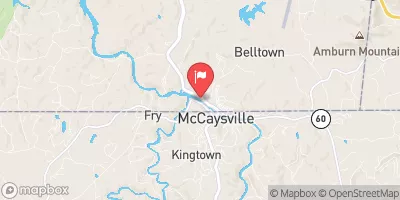
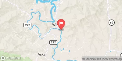
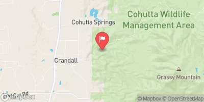
Area Campgrounds
| Location | Reservations | Toilets |
|---|---|---|
 Tumbling Creek Campground
|
||
 Tumbling Creek
|
||
 Thunder Rock
|
||
 Thunder Rock Campground
|
||
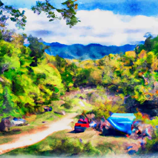 Lost Creek Campground
|
||
 Big Lost Creek
|