


Cedar Glade Lake Dam Reservoir Report
Last Updated: May 1, 2026
Nearby: White Oak Lake Dam Pioneer Lake Dam
°F
°F
mph
Wind
%
Humidity
Located in Izard County, Arkansas, Cedar Glade Lake Dam stands as a testament to the importance of water conservation and recreation.
Summary
Built in 1969, this earth dam serves the primary purpose of providing recreational opportunities for locals and visitors alike. With a height of 62 feet and a length of 1000 feet, the dam offers a surface area of 100 acres and a drainage area of 1.1 square miles, showcasing its significant impact on the surrounding environment.
Managed by a private owner, Cedar Glade Lake Dam is regulated by the Arkansas Natural Resources Commission (ANRC) and undergoes regular inspections to ensure its safety and compliance with state regulations. With a low hazard potential and a condition assessment of "Not Rated," the dam continues to serve as a vital resource for the community. While the dam does not have an emergency action plan in place, its recreational benefits and minimal risk make it a valuable asset for water resource and climate enthusiasts in the region.
Although Cedar Glade Lake Dam does not fall under the jurisdiction of the U.S. Army Corps of Engineers, it stands as a model for sustainable water management and outdoor recreation. With a storage capacity of 2500 acre-feet and a maximum discharge of 602 cubic feet per second, the dam plays a crucial role in maintaining water levels and providing a safe environment for activities such as fishing, boating, and wildlife observation. As climate change continues to impact water resources, Cedar Glade Lake Dam serves as a reminder of the importance of responsible stewardship and conservation efforts in preserving our natural landscapes for future generations.
Regional Streamflow Levels
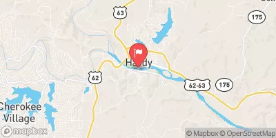 Spring River At Town Branch Bridge At Hardy
|
650cfs |
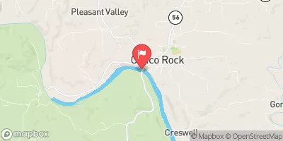 White River At Calico Rock
|
5990cfs |
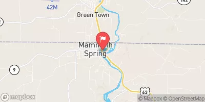 Mammoth Spring At Mammoth Spring
|
428cfs |
 North Sylamore Creek Near Fifty Six
|
16cfs |
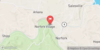 White River Near Norfork
|
4000cfs |
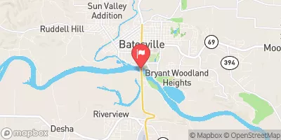 White River At Batesville
|
43800cfs |
15-Day Long Term Forecast
Year Completed |
1969 |
Dam Length |
1000 |
Dam Height |
62 |
River Or Stream |
STRAWBERRY RIVER-OS |
Primary Dam Type |
Earth |
Surface Area |
100 |
Hydraulic Height |
62 |
Drainage Area |
1.1 |
Nid Storage |
2500 |
Structural Height |
62 |
Hazard Potential |
Low |
Nid Height |
62 |
Seasonal Comparison
5-Day Hourly Forecast Detail
Dam Data Reference
Condition Assessment
SatisfactoryNo existing or potential dam safety deficiencies are recognized. Acceptable performance is expected under all loading conditions (static, hydrologic, seismic) in accordance with the minimum applicable state or federal regulatory criteria or tolerable risk guidelines.
Fair
No existing dam safety deficiencies are recognized for normal operating conditions. Rare or extreme hydrologic and/or seismic events may result in a dam safety deficiency. Risk may be in the range to take further action. Note: Rare or extreme event is defined by the regulatory agency based on their minimum
Poor A dam safety deficiency is recognized for normal operating conditions which may realistically occur. Remedial action is necessary. POOR may also be used when uncertainties exist as to critical analysis parameters which identify a potential dam safety deficiency. Investigations and studies are necessary.
Unsatisfactory
A dam safety deficiency is recognized that requires immediate or emergency remedial action for problem resolution.
Not Rated
The dam has not been inspected, is not under state or federal jurisdiction, or has been inspected but, for whatever reason, has not been rated.
Not Available
Dams for which the condition assessment is restricted to approved government users.
Hazard Potential Classification
HighDams assigned the high hazard potential classification are those where failure or mis-operation will probably cause loss of human life.
Significant
Dams assigned the significant hazard potential classification are those dams where failure or mis-operation results in no probable loss of human life but can cause economic loss, environment damage, disruption of lifeline facilities, or impact other concerns. Significant hazard potential classification dams are often located in predominantly rural or agricultural areas but could be in areas with population and significant infrastructure.
Low
Dams assigned the low hazard potential classification are those where failure or mis-operation results in no probable loss of human life and low economic and/or environmental losses. Losses are principally limited to the owner's property.
Undetermined
Dams for which a downstream hazard potential has not been designated or is not provided.
Not Available
Dams for which the downstream hazard potential is restricted to approved government users.
 Georges Cove - Norfolk Lake
 Jordan - Norfolk Lake
 Woods Point - Norfolk Lake
 Quarry Cove - Norfolk Lake
 Blanchard Springs
 Blanchard Springs Campgrounds
 Highland Fun Park
 Hebron Access Site To Southern Forest Boundary In Sec 33, T24N, R11W
 Langston Lake
 June Lake
 Lake Cave City
 Gunner Creek
 Eleven Point River