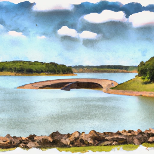
Upper Locust Watershed Site L-30 Reservoir Report
Last Updated: February 4, 2026
Upper Locust Watershed Site L-30 in Wayne, Iowa is a state-regulated earth dam completed in 1999 with a primary purpose of fire protection, stock, or small fish pond.
°F
°F
mph
Wind
%
Humidity
15-Day Weather Outlook
Summary
The dam stands at 31 feet tall and spans a length of 463 feet, with a storage capacity of 130 acre-feet. Situated on the TR-LOCUST CREEK, this structure serves multiple purposes including flood risk reduction, making it a vital asset for the local community.
Managed by the Natural Resources Conservation Service, the dam has a low hazard potential and a moderate risk assessment rating. While its condition is currently not rated, the dam is regularly inspected by the Iowa Department of Natural Resources. With a surface area of 6.3 acres and a drainage area of 0.35 square miles, this site plays a crucial role in water resource management in the region, ensuring water security for both agricultural and environmental needs.
Located in a picturesque setting in the heart of the state, Upper Locust Watershed Site L-30 is a testament to effective water resource management practices. With its strategic design and purpose-driven construction, this earth dam not only enhances fire protection and stock management but also contributes significantly to flood risk reduction efforts. As a regulated and inspected structure, it stands as a symbol of resilience against climate challenges and a beacon of hope for sustainable water management in the region.
Year Completed |
1999 |
Dam Length |
463 |
Dam Height |
31 |
River Or Stream |
TR- LOCUST CREEK |
Primary Dam Type |
Earth |
Surface Area |
6.3 |
Drainage Area |
0.35 |
Nid Storage |
130 |
Hazard Potential |
Low |
Foundations |
Soil |
Nid Height |
31 |
Seasonal Comparison
Hourly Weather Forecast
Nearby Streamflow Levels
Dam Data Reference
Condition Assessment
SatisfactoryNo existing or potential dam safety deficiencies are recognized. Acceptable performance is expected under all loading conditions (static, hydrologic, seismic) in accordance with the minimum applicable state or federal regulatory criteria or tolerable risk guidelines.
Fair
No existing dam safety deficiencies are recognized for normal operating conditions. Rare or extreme hydrologic and/or seismic events may result in a dam safety deficiency. Risk may be in the range to take further action. Note: Rare or extreme event is defined by the regulatory agency based on their minimum
Poor A dam safety deficiency is recognized for normal operating conditions which may realistically occur. Remedial action is necessary. POOR may also be used when uncertainties exist as to critical analysis parameters which identify a potential dam safety deficiency. Investigations and studies are necessary.
Unsatisfactory
A dam safety deficiency is recognized that requires immediate or emergency remedial action for problem resolution.
Not Rated
The dam has not been inspected, is not under state or federal jurisdiction, or has been inspected but, for whatever reason, has not been rated.
Not Available
Dams for which the condition assessment is restricted to approved government users.
Hazard Potential Classification
HighDams assigned the high hazard potential classification are those where failure or mis-operation will probably cause loss of human life.
Significant
Dams assigned the significant hazard potential classification are those dams where failure or mis-operation results in no probable loss of human life but can cause economic loss, environment damage, disruption of lifeline facilities, or impact other concerns. Significant hazard potential classification dams are often located in predominantly rural or agricultural areas but could be in areas with population and significant infrastructure.
Low
Dams assigned the low hazard potential classification are those where failure or mis-operation results in no probable loss of human life and low economic and/or environmental losses. Losses are principally limited to the owner's property.
Undetermined
Dams for which a downstream hazard potential has not been designated or is not provided.
Not Available
Dams for which the downstream hazard potential is restricted to approved government users.


 Upper Locust Watershed Site L-30
 Corydon Lake