Summary
The dam stands at a height of 27 feet and stretches 350 feet in length, serving the primary purpose of grade stabilization. With a storage capacity of 121 acre-feet and a surface area of 8.9 acres, Marlay Dam plays a crucial role in managing water resources in the area.
The dam is regulated by the Iowa DNR and is subject to state permitting, inspection, and enforcement. Despite its low hazard potential, Marlay Dam is considered to have a moderate risk level. While it lacks an official condition assessment, it has not been rated as posing any immediate danger. The surrounding area benefits from the dam's ability to control water flow and prevent erosion, highlighting its importance for both water resource management and climate resilience.
Marlay Dam, constructed with earth materials and a soil foundation, represents a key infrastructure project contributing to the overall water infrastructure in Van Buren County, Iowa. With its uncontrolled spillway and moderate risk level, the dam serves as a vital component of the local water management system. As enthusiasts of water resources and climate action, the significance of Marlay Dam lies in its role in safeguarding the environment and enhancing the resilience of the region's water resources in the face of changing climate patterns.
Year Completed |
1999 |
Dam Length |
350 |
Dam Height |
27 |
River Or Stream |
Tr- Fox River |
Primary Dam Type |
Earth |
Surface Area |
8.9 |
Drainage Area |
0.27 |
Nid Storage |
121 |
Hazard Potential |
Low |
Foundations |
Soil |
Nid Height |
27 |
Seasonal Comparison
Hourly Weather Forecast
Nearby Streamflow Levels
 Des Moines River At Keosauqua
|
1800cfs |
 Fox River At Bloomfield
|
7cfs |
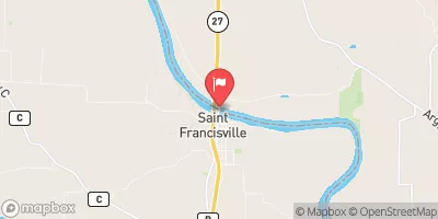
 Des Moines River At St. Francisville
|
1620cfs |
 Cedar Creek Near Oakland Mills
|
10cfs |
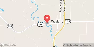
 Fox River At Wayland
|
8cfs |
 Big Creek Near Mt. Pleasant
|
0cfs |
Dam Data Reference
Condition Assessment
SatisfactoryNo existing or potential dam safety deficiencies are recognized. Acceptable performance is expected under all loading conditions (static, hydrologic, seismic) in accordance with the minimum applicable state or federal regulatory criteria or tolerable risk guidelines.
Fair
No existing dam safety deficiencies are recognized for normal operating conditions. Rare or extreme hydrologic and/or seismic events may result in a dam safety deficiency. Risk may be in the range to take further action. Note: Rare or extreme event is defined by the regulatory agency based on their minimum
Poor A dam safety deficiency is recognized for normal operating conditions which may realistically occur. Remedial action is necessary. POOR may also be used when uncertainties exist as to critical analysis parameters which identify a potential dam safety deficiency. Investigations and studies are necessary.
Unsatisfactory
A dam safety deficiency is recognized that requires immediate or emergency remedial action for problem resolution.
Not Rated
The dam has not been inspected, is not under state or federal jurisdiction, or has been inspected but, for whatever reason, has not been rated.
Not Available
Dams for which the condition assessment is restricted to approved government users.
Hazard Potential Classification
HighDams assigned the high hazard potential classification are those where failure or mis-operation will probably cause loss of human life.
Significant
Dams assigned the significant hazard potential classification are those dams where failure or mis-operation results in no probable loss of human life but can cause economic loss, environment damage, disruption of lifeline facilities, or impact other concerns. Significant hazard potential classification dams are often located in predominantly rural or agricultural areas but could be in areas with population and significant infrastructure.
Low
Dams assigned the low hazard potential classification are those where failure or mis-operation results in no probable loss of human life and low economic and/or environmental losses. Losses are principally limited to the owner's property.
Undetermined
Dams for which a downstream hazard potential has not been designated or is not provided.
Not Available
Dams for which the downstream hazard potential is restricted to approved government users.
Area Campgrounds
| Location | Reservations | Toilets |
|---|---|---|
 Lake Sugema County Park
|
||
 Lacey-Keosauqua State Park Campground
|
||
 Lacey - Keosauqua State Park
|
||
 Waubonsie Trail Park
|
||
 Austin County Park
|
||
 Bentonsport
|

 Marlay Dam