Maxwell Dam Reservoir Report
Nearby: Oakland Mills Dam Francy Site 3
Last Updated: February 1, 2026
Maxwell Dam, located in Salem, Iowa, was completed in 2008 and serves multiple purposes including fire protection, stock, and small fish pond management.
°F
°F
mph
Wind
%
Humidity
15-Day Weather Outlook
Summary
Owned privately, the dam is regulated by the Iowa Department of Natural Resources and undergoes regular inspections to ensure its safety and compliance with state regulations. The dam, primarily made of earth and soil foundations, stands at a height of 21 feet and has a length of 475 feet, with a storage capacity of 54 acre-feet.
Despite its low hazard potential, Maxwell Dam is considered to have a moderate risk level, with a risk assessment rating of 3. The dam features an uncontrolled spillway and a surface area of 3.9 acres, serving the Fish Creek tributary. The surrounding area of Henry County benefits from the water resource management provided by the dam, contributing to the community's water supply and environmental sustainability efforts. Enthusiasts of water resources and climate will find Maxwell Dam to be an essential infrastructure supporting both local ecosystems and human activities in the region.
Year Completed |
2008 |
Dam Length |
475 |
Dam Height |
21 |
River Or Stream |
TR- FISH CREEK |
Primary Dam Type |
Earth |
Surface Area |
3.9 |
Drainage Area |
0.17 |
Nid Storage |
54 |
Hazard Potential |
Low |
Foundations |
Soil |
Nid Height |
21 |
Seasonal Comparison
Hourly Weather Forecast
Nearby Streamflow Levels
 Cedar Creek Near Oakland Mills
|
10cfs |
 Big Creek Near Mt. Pleasant
|
0cfs |
 Des Moines River At Keosauqua
|
1800cfs |
 Skunk River At Augusta
|
1250cfs |
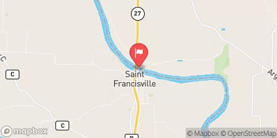
 Des Moines River At St. Francisville
|
1620cfs |
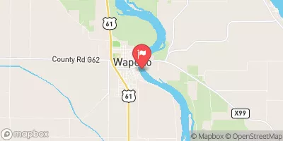
 Iowa River At Wapello
|
7560cfs |
Dam Data Reference
Condition Assessment
SatisfactoryNo existing or potential dam safety deficiencies are recognized. Acceptable performance is expected under all loading conditions (static, hydrologic, seismic) in accordance with the minimum applicable state or federal regulatory criteria or tolerable risk guidelines.
Fair
No existing dam safety deficiencies are recognized for normal operating conditions. Rare or extreme hydrologic and/or seismic events may result in a dam safety deficiency. Risk may be in the range to take further action. Note: Rare or extreme event is defined by the regulatory agency based on their minimum
Poor A dam safety deficiency is recognized for normal operating conditions which may realistically occur. Remedial action is necessary. POOR may also be used when uncertainties exist as to critical analysis parameters which identify a potential dam safety deficiency. Investigations and studies are necessary.
Unsatisfactory
A dam safety deficiency is recognized that requires immediate or emergency remedial action for problem resolution.
Not Rated
The dam has not been inspected, is not under state or federal jurisdiction, or has been inspected but, for whatever reason, has not been rated.
Not Available
Dams for which the condition assessment is restricted to approved government users.
Hazard Potential Classification
HighDams assigned the high hazard potential classification are those where failure or mis-operation will probably cause loss of human life.
Significant
Dams assigned the significant hazard potential classification are those dams where failure or mis-operation results in no probable loss of human life but can cause economic loss, environment damage, disruption of lifeline facilities, or impact other concerns. Significant hazard potential classification dams are often located in predominantly rural or agricultural areas but could be in areas with population and significant infrastructure.
Low
Dams assigned the low hazard potential classification are those where failure or mis-operation results in no probable loss of human life and low economic and/or environmental losses. Losses are principally limited to the owner's property.
Undetermined
Dams for which a downstream hazard potential has not been designated or is not provided.
Not Available
Dams for which the downstream hazard potential is restricted to approved government users.
Area Campgrounds
| Location | Reservations | Toilets |
|---|---|---|
 Oakland Mills Park
|
||
 Water Works Park
|
||
 Waterworks Park - Oakland Mills Park
|
||
 Midwest Old Threshers
|
||
 Round Prairie Park
|
||
 Stephenson Park
|

 Maxwell Dam