Fulton Dam Reservoir Report
Nearby: Simmering Dam Marr Park Dam
Last Updated: February 1, 2026
Fulton Dam, located in Coppock, Iowa, is a privately owned earth dam that was completed in 2008 for the primary purposes of fire protection, stock, and small fish pond.
°F
°F
mph
Wind
%
Humidity
15-Day Weather Outlook
Summary
The dam stands at a height of 24 feet and stretches 320 feet in length, with a storage capacity of 59 acre-feet. Situated on TR-Crooked Creek, the dam serves as a crucial water resource in Washington County, Iowa, with a surface area of 4.3 acres and a drainage area of 0.22 square miles.
Managed by the Iowa Department of Natural Resources, Fulton Dam is regulated, permitted, inspected, and enforced by state authorities to ensure its safety and compliance with regulations. The dam has a low hazard potential and a moderate risk assessment rating, indicating the need for ongoing risk management measures. While the dam has not been rated for its condition, it remains an essential infrastructure for water management and conservation in the region, contributing to the sustainability of the local ecosystem and supporting various recreational activities for the community.
With its strategic location and design by NRCS, Fulton Dam not only provides essential water resources for firefighting, livestock, and aquatic life but also enhances the overall environmental resilience in the area. As a structure that meets guidelines for emergency action plans and risk assessments, the dam plays a crucial role in mitigating potential risks and ensuring the safety of surrounding communities. As water resource and climate enthusiasts, the existence of Fulton Dam highlights the importance of sustainable water management practices and the critical role that dams play in maintaining ecological balance and supporting diverse ecosystems in the face of changing climate conditions.
Year Completed |
2008 |
Dam Length |
320 |
Dam Height |
24 |
River Or Stream |
TR- CROOKED CREEK |
Primary Dam Type |
Earth |
Surface Area |
4.3 |
Drainage Area |
0.22 |
Nid Storage |
59 |
Hazard Potential |
Low |
Foundations |
Soil |
Nid Height |
24 |
Seasonal Comparison
Hourly Weather Forecast
Nearby Streamflow Levels
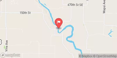
 Iowa River Near Lone Tree
|
1990cfs |
 Big Creek Near Mt. Pleasant
|
0cfs |
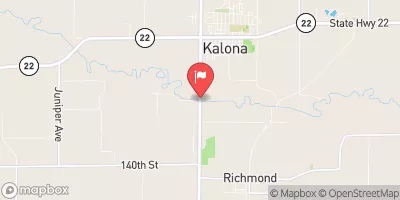
 English River At Kalona
|
41cfs |
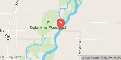
 Cedar River Near Conesville
|
4430cfs |
 Cedar Creek Near Oakland Mills
|
10cfs |
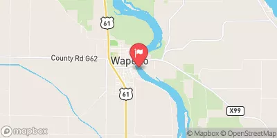
 Iowa River At Wapello
|
7560cfs |
Dam Data Reference
Condition Assessment
SatisfactoryNo existing or potential dam safety deficiencies are recognized. Acceptable performance is expected under all loading conditions (static, hydrologic, seismic) in accordance with the minimum applicable state or federal regulatory criteria or tolerable risk guidelines.
Fair
No existing dam safety deficiencies are recognized for normal operating conditions. Rare or extreme hydrologic and/or seismic events may result in a dam safety deficiency. Risk may be in the range to take further action. Note: Rare or extreme event is defined by the regulatory agency based on their minimum
Poor A dam safety deficiency is recognized for normal operating conditions which may realistically occur. Remedial action is necessary. POOR may also be used when uncertainties exist as to critical analysis parameters which identify a potential dam safety deficiency. Investigations and studies are necessary.
Unsatisfactory
A dam safety deficiency is recognized that requires immediate or emergency remedial action for problem resolution.
Not Rated
The dam has not been inspected, is not under state or federal jurisdiction, or has been inspected but, for whatever reason, has not been rated.
Not Available
Dams for which the condition assessment is restricted to approved government users.
Hazard Potential Classification
HighDams assigned the high hazard potential classification are those where failure or mis-operation will probably cause loss of human life.
Significant
Dams assigned the significant hazard potential classification are those dams where failure or mis-operation results in no probable loss of human life but can cause economic loss, environment damage, disruption of lifeline facilities, or impact other concerns. Significant hazard potential classification dams are often located in predominantly rural or agricultural areas but could be in areas with population and significant infrastructure.
Low
Dams assigned the low hazard potential classification are those where failure or mis-operation results in no probable loss of human life and low economic and/or environmental losses. Losses are principally limited to the owner's property.
Undetermined
Dams for which a downstream hazard potential has not been designated or is not provided.
Not Available
Dams for which the downstream hazard potential is restricted to approved government users.

 Fulton Dam