Lowary Dam Reservoir Report
Nearby: Beach Dam New London Country Club Dam
Last Updated: February 1, 2026
Lowary Dam, located in Augusta, Iowa, is a privately owned earth dam designed by USDA NRCS and completed in 2008 for the primary purpose of grade stabilization.
°F
°F
mph
Wind
%
Humidity
15-Day Weather Outlook
Summary
With a height of 26 feet and a length of 230 feet, the dam has a maximum storage capacity of 36 acre-feet and covers a surface area of 3 acres. Situated on a tributary to Cedar Creek, the dam plays a critical role in managing water resources in the region.
Despite being classified as a low hazard potential structure, Lowary Dam is regulated by the Iowa Department of Natural Resources and undergoes regular inspections, permitting, and enforcement to ensure its safety and compliance with state regulations. The dam has not been rated for condition assessment, but its design features stone core types and soil foundations. With a maximum discharge of 101 cubic feet per second, the dam serves as a vital infrastructure for water resource management in the area, contributing to flood control and water storage capabilities.
While Lowary Dam does not have a designated emergency action plan or inundation maps prepared, it continues to fulfill its role in grade stabilization and water management. With its strategic location and design features, the dam showcases the importance of private infrastructure in supporting sustainable water resource management and climate resilience efforts in the region.
Year Completed |
2008 |
Dam Length |
230 |
Dam Height |
26 |
River Or Stream |
Trib to Cedar Creek |
Primary Dam Type |
Earth |
Surface Area |
3 |
Drainage Area |
0.07 |
Nid Storage |
36 |
Outlet Gates |
None |
Hazard Potential |
Low |
Foundations |
Soil |
Nid Height |
26 |
Seasonal Comparison
Hourly Weather Forecast
Nearby Streamflow Levels
 Big Creek Near Mt. Pleasant
|
0cfs |
 Skunk River At Augusta
|
1250cfs |
 Cedar Creek Near Oakland Mills
|
10cfs |
 Iowa River At Wapello
|
7560cfs |
 Henderson Creek Near Oquawka
|
42cfs |
 Pope Creek Near Keithsburg
|
56cfs |
Dam Data Reference
Condition Assessment
SatisfactoryNo existing or potential dam safety deficiencies are recognized. Acceptable performance is expected under all loading conditions (static, hydrologic, seismic) in accordance with the minimum applicable state or federal regulatory criteria or tolerable risk guidelines.
Fair
No existing dam safety deficiencies are recognized for normal operating conditions. Rare or extreme hydrologic and/or seismic events may result in a dam safety deficiency. Risk may be in the range to take further action. Note: Rare or extreme event is defined by the regulatory agency based on their minimum
Poor A dam safety deficiency is recognized for normal operating conditions which may realistically occur. Remedial action is necessary. POOR may also be used when uncertainties exist as to critical analysis parameters which identify a potential dam safety deficiency. Investigations and studies are necessary.
Unsatisfactory
A dam safety deficiency is recognized that requires immediate or emergency remedial action for problem resolution.
Not Rated
The dam has not been inspected, is not under state or federal jurisdiction, or has been inspected but, for whatever reason, has not been rated.
Not Available
Dams for which the condition assessment is restricted to approved government users.
Hazard Potential Classification
HighDams assigned the high hazard potential classification are those where failure or mis-operation will probably cause loss of human life.
Significant
Dams assigned the significant hazard potential classification are those dams where failure or mis-operation results in no probable loss of human life but can cause economic loss, environment damage, disruption of lifeline facilities, or impact other concerns. Significant hazard potential classification dams are often located in predominantly rural or agricultural areas but could be in areas with population and significant infrastructure.
Low
Dams assigned the low hazard potential classification are those where failure or mis-operation results in no probable loss of human life and low economic and/or environmental losses. Losses are principally limited to the owner's property.
Undetermined
Dams for which a downstream hazard potential has not been designated or is not provided.
Not Available
Dams for which the downstream hazard potential is restricted to approved government users.
Area Campgrounds
| Location | Reservations | Toilets |
|---|---|---|
 Geode State Park Campground
|
||
 Geode State Park
|
||
 Stephenson Park
|
||
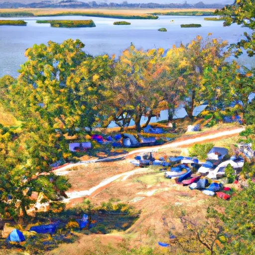 Grays Landing
|
||
 Midwest Old Threshers
|
||
 Big Hollow Creek Park
|

 Lowary Dam