
Queens Creek Reservoir Report
Last Updated: December 13, 2025
Queens Creek, located in Macon County, North Carolina, is a vital water resource managed by the Federal Energy Regulatory Commission for hydroelectric purposes.
°F
°F
mph
Wind
%
Humidity
Summary
The dam on Queens Creek, completed in 1949, stands at a height of 78 feet and has a storage capacity of 500 acre-feet. With a spillway width of 135 feet and a maximum discharge of 15,600 cubic feet per second, the dam plays a crucial role in regulating water flow and providing renewable energy to the region.
Despite its high hazard potential, Queens Creek dam is regularly inspected by the Federal Energy Regulatory Commission to ensure its structural integrity and safety standards. The dam's emergency action plan was last revised in December 2020, highlighting the commitment to preparedness and risk management. With a moderate risk assessment rating, Queens Creek serves as a significant example of balancing water resource management with environmental and climate considerations in the region.
As a key component of the Nantahala River system, Queens Creek dam not only supports hydroelectric power generation but also contributes to the overall water management strategies in the area. With its rockfill structure and stone foundation, the dam reflects a blend of engineering innovation and environmental stewardship. For water resource and climate enthusiasts, Queens Creek represents a fascinating case study of sustainable water infrastructure management in the face of changing environmental conditions.
Year Completed |
1949 |
Dam Length |
382 |
Dam Height |
78 |
River Or Stream |
Queens Creek, Nantahala River |
Primary Dam Type |
Rockfill |
Surface Area |
28.8 |
Drainage Area |
4 |
Nid Storage |
500 |
Structural Height |
78 |
Outlet Gates |
Valve - 1 |
Hazard Potential |
High |
Foundations |
Rock |
Nid Height |
78 |
Seasonal Comparison
Weather Forecast
Nearby Streamflow Levels


Dam Data Reference
Condition Assessment
SatisfactoryNo existing or potential dam safety deficiencies are recognized. Acceptable performance is expected under all loading conditions (static, hydrologic, seismic) in accordance with the minimum applicable state or federal regulatory criteria or tolerable risk guidelines.
Fair
No existing dam safety deficiencies are recognized for normal operating conditions. Rare or extreme hydrologic and/or seismic events may result in a dam safety deficiency. Risk may be in the range to take further action. Note: Rare or extreme event is defined by the regulatory agency based on their minimum
Poor A dam safety deficiency is recognized for normal operating conditions which may realistically occur. Remedial action is necessary. POOR may also be used when uncertainties exist as to critical analysis parameters which identify a potential dam safety deficiency. Investigations and studies are necessary.
Unsatisfactory
A dam safety deficiency is recognized that requires immediate or emergency remedial action for problem resolution.
Not Rated
The dam has not been inspected, is not under state or federal jurisdiction, or has been inspected but, for whatever reason, has not been rated.
Not Available
Dams for which the condition assessment is restricted to approved government users.
Hazard Potential Classification
HighDams assigned the high hazard potential classification are those where failure or mis-operation will probably cause loss of human life.
Significant
Dams assigned the significant hazard potential classification are those dams where failure or mis-operation results in no probable loss of human life but can cause economic loss, environment damage, disruption of lifeline facilities, or impact other concerns. Significant hazard potential classification dams are often located in predominantly rural or agricultural areas but could be in areas with population and significant infrastructure.
Low
Dams assigned the low hazard potential classification are those where failure or mis-operation results in no probable loss of human life and low economic and/or environmental losses. Losses are principally limited to the owner's property.
Undetermined
Dams for which a downstream hazard potential has not been designated or is not provided.
Not Available
Dams for which the downstream hazard potential is restricted to approved government users.
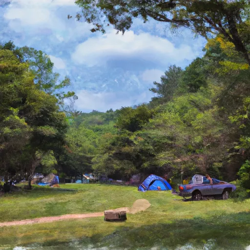
Area Campgrounds
| Location | Reservations | Toilets |
|---|---|---|
 Ledbetter Creek Camp
|
||
 Appletree Group Camp
|
||
 Appletree Group Campground
|
||
 Lost Mine Camp Ground
|
||
 Wine Spring Campsite
|
||
 Turkey Creek Campground
|
 Queens Creek
 Natahala Powerhouse To Lake Fontana (River Mile 4)
 Headwaters In Standing Indian Basin To Slackwater Of Natahala Lake
 Polecat Branch To Snowbird Picnic Area