Summary
The ideal streamflow range for this run is between 200 and 600 cfs, with the best time to go being during the spring months. The class rating for this run is Class III-IV, making it suitable for intermediate to advanced kayakers and rafters.
The segment mileage for this run is approximately 4 miles, with several challenging rapids and obstacles along the way. Some of the most notable rapids include Go Left or Die, Pinball, and Tumble Dry. These rapids require skilled maneuvering and can be dangerous for inexperienced paddlers.
In terms of regulations, all kayakers and rafters must wear a personal flotation device at all times while on the river. Additionally, there are restrictions on the use of alcohol and other substances while on the river. It is recommended that paddlers familiarize themselves with all regulations and safety guidelines before embarking on this run.
Overall, the Whitewater River run from Polecat Branch to Snowbird Picnic Area offers a thrilling and challenging adventure for experienced paddlers. It is important to respect the power of the river and take all necessary safety precautions before embarking on this run.
°F
°F
mph
Wind
%
Humidity
15-Day Weather Outlook
River Run Details
| Last Updated | 2026-02-07 |
| River Levels | 110 cfs (2.88 ft) |
| Percent of Normal | 44% |
| Status | |
| Class Level | iii-iv |
| Elevation | ft |
| Streamflow Discharge | cfs |
| Gauge Height | ft |
| Reporting Streamgage | USGS 0351706800 |
5-Day Hourly Forecast Detail
Nearby Streamflow Levels
 Cheoah River Nr Bearpen Gap Nr Tapoco
|
229cfs |
 Valley River At Tomotla
|
258cfs |
 Nantahala River Near Rainbow Springs
|
168cfs |
 Little Tennessee River At Needmore
|
670cfs |
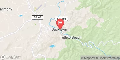 Tellico River At Tellico Plains
|
417cfs |
 Tuckasegee River At Bryson City
|
1170cfs |
Area Campgrounds
| Location | Reservations | Toilets |
|---|---|---|
 Snowbird Camping
|
||
 Cheoah Point
|
||
 Rattler Ford Group Campground
|
||
 Rattler Ford Campground
|
||
 Cheoah Point Recreation Area
|
||
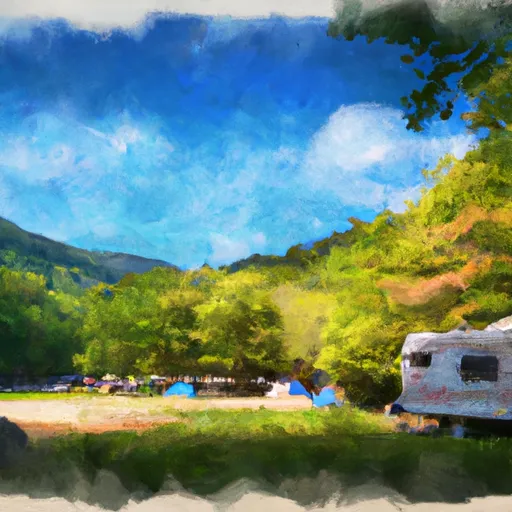 Cheoah Point Campground
|


 Massey Branch Road 1184, Robbinsville
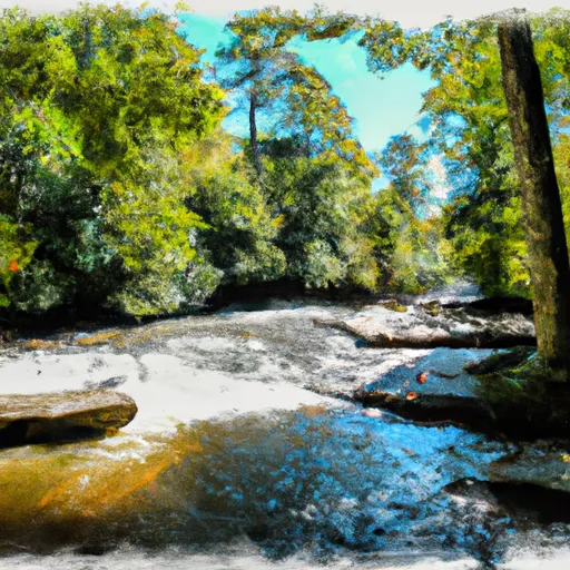 Polecat Branch To Snowbird Picnic Area
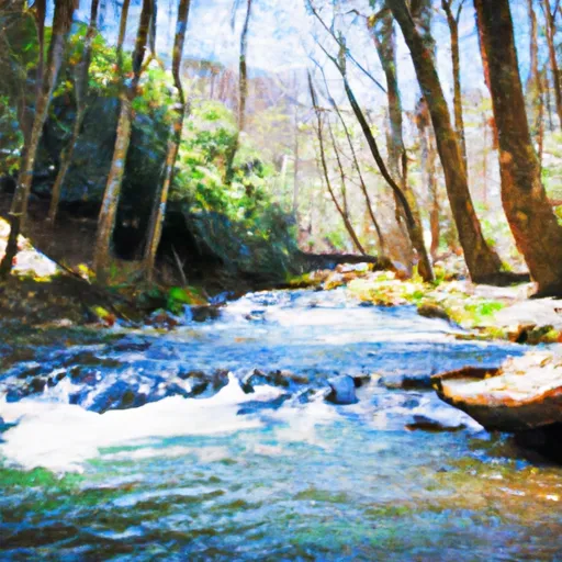 Owlcamp Branch To Polecat Branch
 Headwaters Near Mitchell Lick To Owlcamp Branch
 Headwaters Near Graham County Line To Nc/Tn State Line