Forsberg Dam Dam

Forsberg Dam
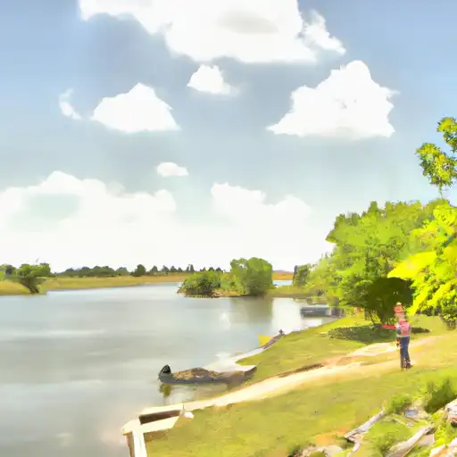
Located in Saline, Kansas, the Forsberg Dam is a private structure built in 1956 by the USDA NRCS. Standing at a height of 17 feet with a hydraulic height of 18 feet, this earth dam on the Smoky Hill River provides a maximum storage capacity of 72 acre-feet. With a normal storage capacity of 1.82 acre-feet and a low hazard potential, the dam covers a surface area of 0.94 acres and has a drainage area of 0.76 acres.
Managed by private owners, the Forsberg Dam has not been rated for its condition assessment and lacks a designated emergency action plan. Although the dam has a spillway width of 75 feet and a maximum discharge capability of 880 cubic feet per second, it does not have any outlet gates or associated structures. Despite its low hazard potential, the dam has not been inspected recently and its risk management measures remain unspecified. Water resource and climate enthusiasts may find the Forsberg Dam an intriguing structure due to its historical significance and unique design features.
With its location in the heart of Kansas and its association with the Smoky Hill River, the Forsberg Dam serves as a vital infrastructure for water resource management in the region. While it has not been subjected to state regulations or enforcement, the dam plays a crucial role in flood control and water storage in the area. The dam's earth construction and buttress core design reflect the engineering expertise of the USDA NRCS, making it a noteworthy site for enthusiasts interested in water resource management and climate adaptation strategies.
Plan around the weather
Same NOAA / yr.no feed Snoflo's iOS app uses. Watch the precipitation column on the meteogram -- rain on the basin upstream typically lifts inflow 24-72 hours later.
Next 5 days, hour by hour
Temperature line with weather symbols on top, snow + rain accumulation as columns, humidity as a dotted line.
5-day forecast table
Every 3 hours, broken out across temperature, snow, rain, humidity, and wind. Each cell is colour-coded relative to the column min/max.
| Time | Condition | Temp (°F) | Snow (in) | Rain (in) | Humidity (%) | Wind (mps) | Wind dir |
|---|---|---|---|---|---|---|---|
| Loading detailed forecast… | |||||||
15-day temperature & precipitation
Daily temperatures, snow, and rain projected over the next two weeks.
Nearby streamflow gauges
USGS streamgauges around Forsberg Dam -- inflows here typically show up in storage 24-72 hours later.
| Streamgauge | Discharge | View |
|---|---|---|
| Smoky Hill R Nr Mentor | 209 cfs | → |
| Gypsum C Nr Gypsum | 3 cfs | → |
| Mulberry C Nr Salina | 8 cfs | → |
| Smoky Hill R At Lindsborg | 201 cfs | → |
| Solomon R At Niles | 130 cfs | → |
| Smoky Hill R Nr Langley | 231 cfs | → |


About Forsberg Dam
Where does the data for Forsberg Dam come from?
Structural and regulatory data come from the U.S. Army Corps of Engineers' National Inventory of Dams (NID). Weather forecast comes from NOAA / yr.no -- the same feed Snoflo's iOS app uses.
How often is the report updated?
NID structural data refreshes annually as the Corps publishes updated assessments. The weather forecast refreshes throughout the day.
What does the Low hazard rating mean?
The Corps of Engineers' hazard potential classification grades probable consequences if the dam fails: High = probable loss of human life; Significant = no probable loss of human life but possible economic loss / environmental damage; Low = no probable loss of human life, only minor economic / environmental losses. See the Dam Data Reference card below for the full definitions.
What's "% of normal"?
The current storage value compared to the historical average storage on this calendar day. 100% = right on average; values above 100% mean above-normal storage (wet year); values below mean below-normal (dry year or drought).
Can I get alerts when storage crosses a threshold?
Yes -- alerts are managed in the Snoflo iOS app. Favorite this dam, set a threshold, and you'll get a push the moment conditions cross.
Dam data reference
Condition Assessment
- Satisfactory
- No existing or potential dam safety deficiencies are recognized. Acceptable performance is expected under all loading conditions (static, hydrologic, seismic) in accordance with the minimum applicable state or federal regulatory criteria or tolerable risk guidelines.
- Fair
- No existing dam safety deficiencies are recognized for normal operating conditions. Rare or extreme hydrologic and/or seismic events may result in a dam safety deficiency. Risk may be in the range to take further action.
- Poor
- A dam safety deficiency is recognized for normal operating conditions which may realistically occur. Remedial action is necessary. POOR may also be used when uncertainties exist as to critical analysis parameters which identify a potential dam safety deficiency.
- Unsatisfactory
- A dam safety deficiency is recognized that requires immediate or emergency remedial action for problem resolution.
- Not Rated
- The dam has not been inspected, is not under state or federal jurisdiction, or has been inspected but, for whatever reason, has not been rated.
Hazard Potential Classification
- High
- Dams assigned the high hazard potential classification are those where failure or mis-operation will probably cause loss of human life.
- Significant
- Dams assigned the significant hazard potential classification are those dams where failure or mis-operation results in no probable loss of human life but can cause economic loss, environmental damage, disruption of lifeline facilities, or impact other concerns. Significant hazard potential classification dams are often located in predominantly rural or agricultural areas but could be in areas with population and significant infrastructure.
- Low
- Dams assigned the low hazard potential classification are those where failure or mis-operation results in no probable loss of human life and low economic and/or environmental losses. Losses are principally limited to the owner's property.
- Undetermined
- Dams for which a downstream hazard potential has not been designated or is not provided.