
Johnston Reservoir Report
Nearby: Kahle Lake Glades
Last Updated: February 2, 2026
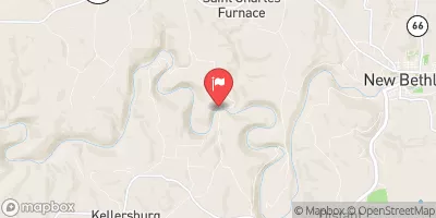
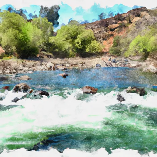
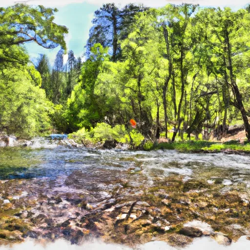
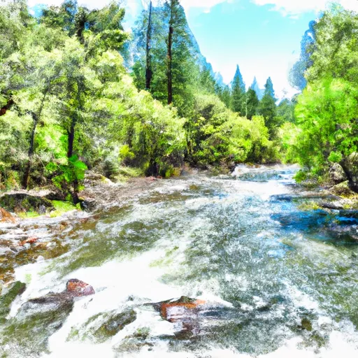
Johnston is a privately owned dam located in Allegheny Township, Butler County, Pennsylvania.
°F
°F
mph
Wind
%
Humidity
15-Day Weather Outlook
Summary
Built in 1978, this Earth dam stands at 26 feet tall and spans a length of 925 feet, containing a storage capacity of 281 acre-feet of water for recreational purposes. Situated on TR Carrs Run, a small stream with a drainage area of 0.42 square miles, Johnston provides a surface area of 20 acres for recreational activities.
Managed by the Pennsylvania Department of Environmental Protection, Johnston is regulated, permitted, inspected, and enforced by the state to ensure its safety and compliance with regulations. With a low hazard potential and a condition assessment that is not rated, this dam serves as a recreational resource for the local community. Despite not having an Emergency Action Plan (EAP) in place currently, Johnston maintains a relatively low risk profile, emphasizing the importance of ongoing monitoring and maintenance to ensure the safety of its surrounding area.
Overall, Johnston in Butler County, Pennsylvania, is a modest-sized dam that offers recreational opportunities while also being subject to state regulations and inspections. With a focus on public safety and risk management, the dam continues to provide valuable recreational amenities to the local community while emphasizing the need for ongoing monitoring and maintenance to ensure its continued safe operation.
Year Completed |
1978 |
Dam Length |
925 |
Dam Height |
26 |
River Or Stream |
TR CARRS RUN |
Primary Dam Type |
Earth |
Surface Area |
20 |
Drainage Area |
0.42 |
Nid Storage |
281 |
Hazard Potential |
Low |
Foundations |
Unlisted/Unknown |
Nid Height |
26 |
Seasonal Comparison
Hourly Weather Forecast
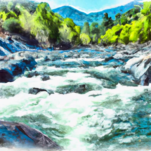
Nearby Streamflow Levels
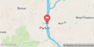 Allegheny River At Parker
|
63200cfs |
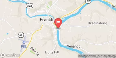 Allegheny River At Franklin
|
5010cfs |
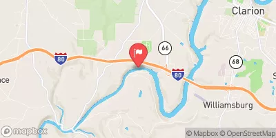 Clarion River Near Piney
|
80cfs |
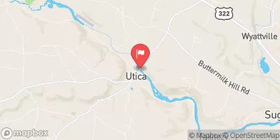 French Creek At Utica
|
2620cfs |
 Redbank Creek At St. Charles
|
667cfs |
 Muddy Creek Near Portersville
|
3cfs |
Dam Data Reference
Condition Assessment
SatisfactoryNo existing or potential dam safety deficiencies are recognized. Acceptable performance is expected under all loading conditions (static, hydrologic, seismic) in accordance with the minimum applicable state or federal regulatory criteria or tolerable risk guidelines.
Fair
No existing dam safety deficiencies are recognized for normal operating conditions. Rare or extreme hydrologic and/or seismic events may result in a dam safety deficiency. Risk may be in the range to take further action. Note: Rare or extreme event is defined by the regulatory agency based on their minimum
Poor A dam safety deficiency is recognized for normal operating conditions which may realistically occur. Remedial action is necessary. POOR may also be used when uncertainties exist as to critical analysis parameters which identify a potential dam safety deficiency. Investigations and studies are necessary.
Unsatisfactory
A dam safety deficiency is recognized that requires immediate or emergency remedial action for problem resolution.
Not Rated
The dam has not been inspected, is not under state or federal jurisdiction, or has been inspected but, for whatever reason, has not been rated.
Not Available
Dams for which the condition assessment is restricted to approved government users.
Hazard Potential Classification
HighDams assigned the high hazard potential classification are those where failure or mis-operation will probably cause loss of human life.
Significant
Dams assigned the significant hazard potential classification are those dams where failure or mis-operation results in no probable loss of human life but can cause economic loss, environment damage, disruption of lifeline facilities, or impact other concerns. Significant hazard potential classification dams are often located in predominantly rural or agricultural areas but could be in areas with population and significant infrastructure.
Low
Dams assigned the low hazard potential classification are those where failure or mis-operation results in no probable loss of human life and low economic and/or environmental losses. Losses are principally limited to the owner's property.
Undetermined
Dams for which a downstream hazard potential has not been designated or is not provided.
Not Available
Dams for which the downstream hazard potential is restricted to approved government users.
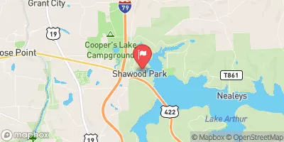
Area Campgrounds
| Location | Reservations | Toilets |
|---|---|---|
 Columbia Airport Campground
|
||
 Frogtown RV Park
|
||
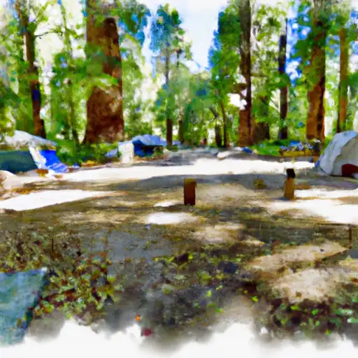 Calaveras Big Trees State Park
|
Nearby Reservoirs
 Johnston
River Runs
-
 Confluence With North Fork And Middle Fork Stanislaus To Clark Flat
-
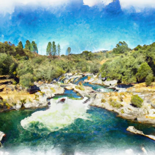 Sandbar To Confluence With North Fork Stanislaus River
-
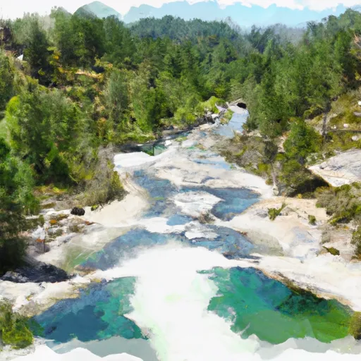 Below Mckay'S Reservoir To Confluence With Middle Fork Stanislaus River
-
 One Mile Downstream Of State Park Boundary In Sec 24, T5N, R15E To Mckay'S Reservoir
-
 Calaveras Big Trees State Park Boundary In Sec 24, T5N, R15E To One Mile Downstream Of State Park Boundary In Sec 24, T5N, R15E
-
 One-Quarter Mile Downstream Of Forest Road 5N75 Bridge Crossing To Calaveras Big Trees State Park Boundary In Sec 24, T5N, R15E