


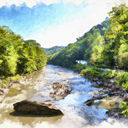
South Mill Creek Near Mozer Reservoir Report
Last Updated: May 1, 2026
°F
°F
mph
Wind
%
Humidity
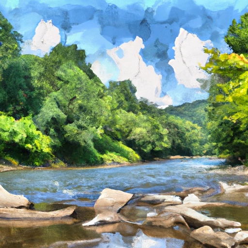
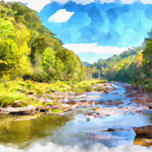
South Mill Creek is a 12-mile long tributary of the South Branch Potomac River located in Mozer, WV, in West Virginia.
Summary
The creek is steep and rocky with a history of flooding, but also offers recreational opportunities such as fishing and hiking. Its hydrology is influenced by the surrounding snowpack providers, such as the Appalachian Mountains, and experiences peak flows in the spring and fall. The creek has been used for agriculture in the past, with a history of farming and timber harvesting in the area. Today, the area is largely undeveloped, and the creek is primarily used for recreational purposes.
Regional Streamflow Levels
15-Day Long Term Forecast
Reservoir Details
| Gage Height, Ft 24hr Change | -0.22% |
| Percent of Normal | 99% |
| Minimum |
8.56 ft
2026-02-10 |
| Maximum |
18.34 ft
2018-06-04 |
| Average | 9 ft |
| Dam_Height | 75.2 |
| Hydraulic_Height | 72.2 |
| Year_Completed | 1993 |
| Nid_Storage | 4261.7 |
| Primary_Dam_Type | Rockfill |
| River_Or_Stream | SOUTH MILL CREEK |
| Foundations | Rock, Soil |
| Surface_Area | 48 |
| Hazard_Potential | High |
| Outlet_Gates | Uncontrolled |
| Dam_Length | 1118 |
| Nid_Height | 75 |
Seasonal Comparison
Gage Height, Ft Levels
5-Day Hourly Forecast Detail
Dam Data Reference
Condition Assessment
SatisfactoryNo existing or potential dam safety deficiencies are recognized. Acceptable performance is expected under all loading conditions (static, hydrologic, seismic) in accordance with the minimum applicable state or federal regulatory criteria or tolerable risk guidelines.
Fair
No existing dam safety deficiencies are recognized for normal operating conditions. Rare or extreme hydrologic and/or seismic events may result in a dam safety deficiency. Risk may be in the range to take further action. Note: Rare or extreme event is defined by the regulatory agency based on their minimum
Poor A dam safety deficiency is recognized for normal operating conditions which may realistically occur. Remedial action is necessary. POOR may also be used when uncertainties exist as to critical analysis parameters which identify a potential dam safety deficiency. Investigations and studies are necessary.
Unsatisfactory
A dam safety deficiency is recognized that requires immediate or emergency remedial action for problem resolution.
Not Rated
The dam has not been inspected, is not under state or federal jurisdiction, or has been inspected but, for whatever reason, has not been rated.
Not Available
Dams for which the condition assessment is restricted to approved government users.
Hazard Potential Classification
HighDams assigned the high hazard potential classification are those where failure or mis-operation will probably cause loss of human life.
Significant
Dams assigned the significant hazard potential classification are those dams where failure or mis-operation results in no probable loss of human life but can cause economic loss, environment damage, disruption of lifeline facilities, or impact other concerns. Significant hazard potential classification dams are often located in predominantly rural or agricultural areas but could be in areas with population and significant infrastructure.
Low
Dams assigned the low hazard potential classification are those where failure or mis-operation results in no probable loss of human life and low economic and/or environmental losses. Losses are principally limited to the owner's property.
Undetermined
Dams for which a downstream hazard potential has not been designated or is not provided.
Not Available
Dams for which the downstream hazard potential is restricted to approved government users.
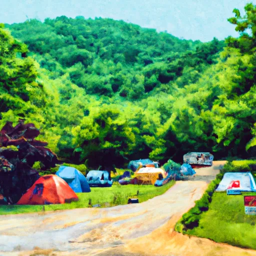
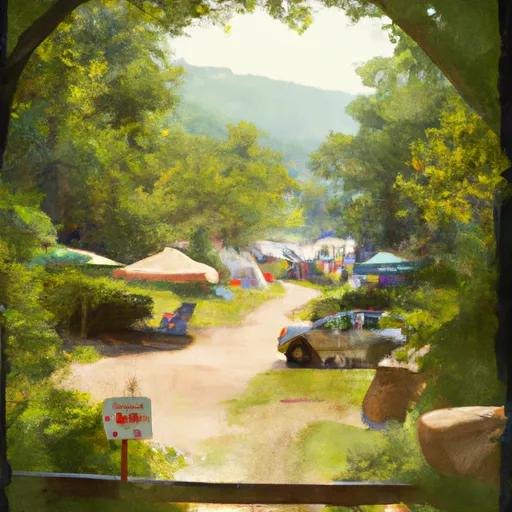
Area Campgrounds
| Location | Reservations | Toilets |
|---|---|---|
 Jess Judy Group Campground
|
||
 Camp Run Campground
|
||
 Princess Snowbird Campground
|
||
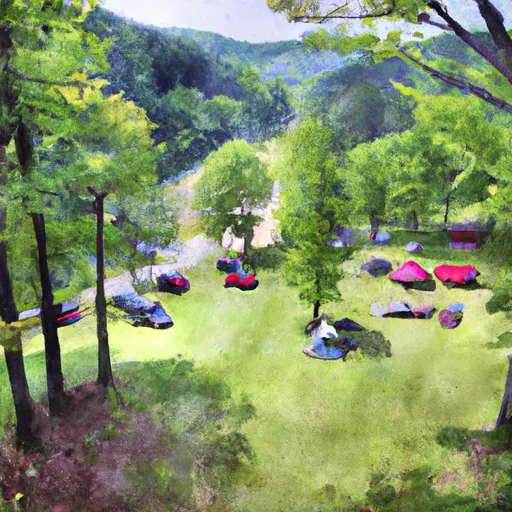 Seneca Shadows Campground
|
||
 Red Creek Campground
|
||
 Brandywine campground
|
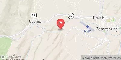
 South Mill Creek Near Mozer
 Bloomington Lake Near Elk Garden
 Savage River Reservoir Near Bloomington
River Runs
-
 Big Bend Campground To Canyon Exit (Just Prior To Confluence With North Branch)
-
 Shreve Store To Big Bend Campground
-
 Canyon Exit To Spruce Knob-Seneca Rocks Nra Boundary
-
 Jake Hill Road Bridge To Shreve Store
-
 High Ridge Run To Outskirts Of Hopeville
-
 Enter Dolly Sods Wilderness To Exit Dolly Sods Wilderness
 Dry Fork
 Briery Branch Day Use Area
 Staunton Dam Day Use Area
 Elkhorn Lake Day Use Area
 White Sulphur Pond