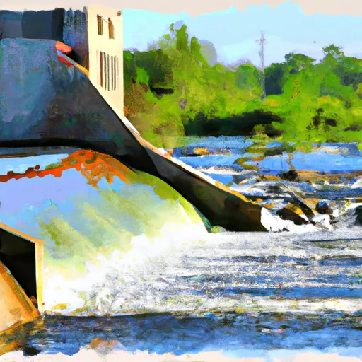
Lake Geneva Dam

Lake Geneva
Lake Geneva, located in Alexandria, Minnesota, is a state-owned water resource known for its historical significance and recreational opportunities. Built in 1936 by the Works Progress Administration (WPA-C), this dam serves multiple purposes beyond flood control, including water supply and conservation. The dam stands at a height of 6 feet with a structural height of 8 feet and a length of 17 feet, providing a storage capacity of 18,657 acre-feet and a surface area of 635 acres.
With a low hazard potential and a moderate risk assessment rating, Lake Geneva is considered a safe and well-managed water resource. The dam features an uncontrolled spillway type and a spillway width of 17 feet, allowing for a maximum discharge of 735 cubic feet per second. While the dam is not regulated by the state and does not have a designated inspection frequency, it remains a vital part of the Long Prairie River tributary system, offering a picturesque setting for outdoor enthusiasts and climate conservationists alike.
Despite not being regularly inspected or rated for condition assessment, Lake Geneva's enduring presence as a state-owned dam underscores its importance in water management and conservation efforts. As climate change continues to impact water resources and ecosystems, the significance of maintaining and preserving structures like Lake Geneva for future generations becomes increasingly crucial. With its rich history and recreational value, Lake Geneva serves as a reminder of the interconnectedness between water resources, climate resilience, and environmental stewardship.
Plan around the weather
Same NOAA / yr.no feed Snoflo's iOS app uses. Watch the precipitation column on the meteogram -- rain on the basin upstream typically lifts inflow 24-72 hours later.
Next 5 days, hour by hour
Temperature line with weather symbols on top, snow + rain accumulation as columns, humidity as a dotted line.
5-day forecast table
Every 3 hours, broken out across temperature, snow, rain, humidity, and wind. Each cell is colour-coded relative to the column min/max.
| Time | Condition | Temp (°F) | Snow (in) | Rain (in) | Humidity (%) | Wind (mps) | Wind dir |
|---|---|---|---|---|---|---|---|
| Loading detailed forecast… | |||||||
15-day temperature & precipitation
Daily temperatures, snow, and rain projected over the next two weeks.
Nearby streamflow gauges
USGS streamgauges around Lake Geneva -- inflows here typically show up in storage 24-72 hours later.
| Streamgauge | Discharge | View |
|---|---|---|
| Long Prairie River At Long Prairie | 71 cfs | → |
| Otter Tail River Near Elizabeth | 256 cfs | → |
| Otter Tail River Bl Orwell D Nr Fergus Falls | 243 cfs | → |
| Mississippi River Near Royalton | 1,130 cfs | → |
| Crow Wing River Near Pillager | 460 cfs | → |
| Crow Wing River At Nimrod | 141 cfs | → |


About Lake Geneva
Where does the data for Lake Geneva come from?
Structural and regulatory data come from the U.S. Army Corps of Engineers' National Inventory of Dams (NID). Weather forecast comes from NOAA / yr.no -- the same feed Snoflo's iOS app uses.
How often is the report updated?
NID structural data refreshes annually as the Corps publishes updated assessments. The weather forecast refreshes throughout the day.
What does the Low hazard rating mean?
The Corps of Engineers' hazard potential classification grades probable consequences if the dam fails: High = probable loss of human life; Significant = no probable loss of human life but possible economic loss / environmental damage; Low = no probable loss of human life, only minor economic / environmental losses. See the Dam Data Reference card below for the full definitions.
What's "% of normal"?
The current storage value compared to the historical average storage on this calendar day. 100% = right on average; values above 100% mean above-normal storage (wet year); values below mean below-normal (dry year or drought).
Can I get alerts when storage crosses a threshold?
Yes -- alerts are managed in the Snoflo iOS app. Favorite this dam, set a threshold, and you'll get a push the moment conditions cross.
Dam data reference
Condition Assessment
- Satisfactory
- No existing or potential dam safety deficiencies are recognized. Acceptable performance is expected under all loading conditions (static, hydrologic, seismic) in accordance with the minimum applicable state or federal regulatory criteria or tolerable risk guidelines.
- Fair
- No existing dam safety deficiencies are recognized for normal operating conditions. Rare or extreme hydrologic and/or seismic events may result in a dam safety deficiency. Risk may be in the range to take further action.
- Poor
- A dam safety deficiency is recognized for normal operating conditions which may realistically occur. Remedial action is necessary. POOR may also be used when uncertainties exist as to critical analysis parameters which identify a potential dam safety deficiency.
- Unsatisfactory
- A dam safety deficiency is recognized that requires immediate or emergency remedial action for problem resolution.
- Not Rated
- The dam has not been inspected, is not under state or federal jurisdiction, or has been inspected but, for whatever reason, has not been rated.
Hazard Potential Classification
- High
- Dams assigned the high hazard potential classification are those where failure or mis-operation will probably cause loss of human life.
- Significant
- Dams assigned the significant hazard potential classification are those dams where failure or mis-operation results in no probable loss of human life but can cause economic loss, environmental damage, disruption of lifeline facilities, or impact other concerns. Significant hazard potential classification dams are often located in predominantly rural or agricultural areas but could be in areas with population and significant infrastructure.
- Low
- Dams assigned the low hazard potential classification are those where failure or mis-operation results in no probable loss of human life and low economic and/or environmental losses. Losses are principally limited to the owner's property.
- Undetermined
- Dams for which a downstream hazard potential has not been designated or is not provided.