Abiquiu Lake Reservoir
As of July 20, 2026, Abiquiu Lake is holding 108,565 acre-ft of water — 75% of normal storage for this date. Storage data refreshed throughout the day.

Abiquiu Lake
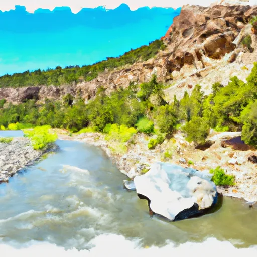
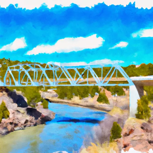
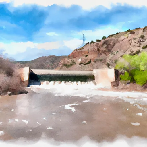
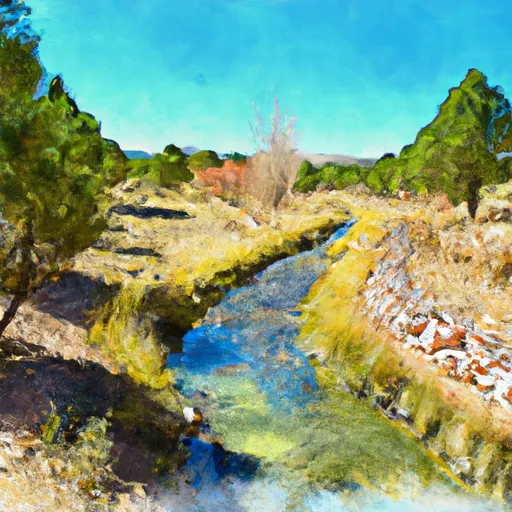
Abiquiu Lake is a man-made reservoir located in northern New Mexico, USA. The lake was created in the 1960s as a part of the Abiquiu Dam construction project on the Rio Chama River. The hydrology of the lake relies on runoff from the surrounding mountains and snowmelt from the nearby snowpack. The Rio Chama River feeds the lake, along with several smaller streams. The lake has a surface area of around 5,200 acres and provides water for irrigation, recreation, and wildlife habitat. The agricultural use of the lake includes irrigating crops such as alfalfa, corn, and vegetables. It is a popular recreational spot that attracts visitors from all over the world for activities such as fishing, boating, camping, and hiking. Overall, the Abiquiu Lake is critical for water supply in New Mexico while also serving as a popular tourist destination.
Daily levels at Abiquiu Lake
Storage volume, pool elevation, and total release plotted from the operating agency's daily observations.
Storage
acre-ft · code 17
Pool Elevation
ft · code 49
Total Release
cfs · code 42
Water surface elevation
feet · code 4
Plan around the weather
Same NOAA / yr.no feed Snoflo's iOS app uses. Watch the precipitation column on the meteogram -- rain on the basin upstream typically lifts inflow 24-72 hours later.
Next 5 days, hour by hour
Temperature line with weather symbols on top, snow + rain accumulation as columns, humidity as a dotted line.
5-day forecast table
Every 3 hours, broken out across temperature, snow, rain, humidity, and wind. Each cell is colour-coded relative to the column min/max.
| Time | Condition | Temp (°F) | Snow (in) | Rain (in) | Humidity (%) | Wind (mps) | Wind dir |
|---|---|---|---|---|---|---|---|
| Loading detailed forecast… | |||||||
15-day temperature & precipitation
Daily temperatures, snow, and rain projected over the next two weeks.
Nearby streamflow gauges
USGS streamgauges around Abiquiu Lake -- inflows here typically show up in storage 24-72 hours later.
| Streamgauge | Discharge | View |
|---|---|---|
| Rio Chama Below Abiquiu Dam | 120 cfs | → |
| Rio Chama Above Abiquiu Reservoir | 183 cfs | → |
| Rio Chama Near Chamita | 140 cfs | → |
| Rio Ojo Caliente At La Madera | 4 cfs | → |
| Rio Chama Below El Vado Dam | 103 cfs | → |
| Rio Grande At Embudo | 150 cfs | → |


About Abiquiu Lake
Where does the data for Abiquiu Lake come from?
Daily storage, pool elevation, and release rates are sourced from USGS, USBR, and USACE monitoring stations. Weather forecast comes from NOAA / yr.no -- the same feed Snoflo's iOS app uses.
How often is the report updated?
Storage observations are updated daily by the operating agency. The 15-day weather forecast refreshes throughout the day. Snoflo caches and renders the most recent observation -- check the "as of" timestamp on the storage card.
What does the Hazard hazard rating mean?
The Corps of Engineers' hazard potential classification grades probable consequences if the dam fails: High = probable loss of human life; Significant = no probable loss of human life but possible economic loss / environmental damage; Low = no probable loss of human life, only minor economic / environmental losses. See the Dam Data Reference card below for the full definitions.
What's "% of normal"?
The current storage value compared to the historical average storage on this calendar day. 100% = right on average; values above 100% mean above-normal storage (wet year); values below mean below-normal (dry year or drought).
Can I get alerts when storage crosses a threshold?
Yes -- alerts are managed in the Snoflo iOS app. Favorite this reservoir, set a threshold, and you'll get a push the moment conditions cross.