Avalon Reservoir Reservoir Report
Last Updated: January 11, 2026
Avalon Reservoir, located in southern New Mexico, has a long history dating back to the early 1900s when it was built to supply irrigation water to nearby agricultural lands.
°F
°F
mph
Wind
%
Humidity
Summary
The reservoir is fed by several small streams, including the Rio Ruidoso, and relies primarily on snowpack during the winter months. The reservoir also serves as a source of drinking water for nearby communities.
Agriculture remains an important use of water from the reservoir, with crops such as pecans, alfalfa, and cotton being grown in the surrounding areas. The reservoir also provides opportunities for recreational activities such as fishing, boating, and camping. However, concerns about the sustainability of water resources in the region have led to increased efforts to conserve water and find new sources of supply.
Reservoir Details
| Storage 24hr Change | 0.0% |
| Percent of Normal | 102% |
| Minimum |
0.14 acre-ft
2022-11-24 |
| Maximum |
8,820.0 acre-ft
1966-08-23 |
| Average | 2,664 acre-ft |
| Nid_Height | 58 |
| Hydraulic_Height | 34 |
| Drainage_Area | 22000 |
| Years_Modified | 2002 - Structural |
| Year_Completed | 1906 |
| Dam_Height | 58 |
| Structural_Height | 58 |
| River_Or_Stream | PECOS RIVER |
| Primary_Dam_Type | Earth |
| Foundations | Rock |
| Surface_Area | 1850 |
| Hazard_Potential | High |
| Nid_Storage | 20000 |
| Dam_Length | 1025 |
Seasonal Comparison
Water Surface Elevation Levels
Storage Levels
Pool Elevation Levels
Total Release Levels
Weather Forecast
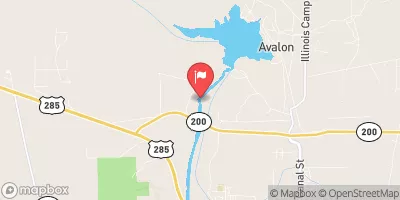
Nearby Streamflow Levels
Dam Data Reference
Condition Assessment
SatisfactoryNo existing or potential dam safety deficiencies are recognized. Acceptable performance is expected under all loading conditions (static, hydrologic, seismic) in accordance with the minimum applicable state or federal regulatory criteria or tolerable risk guidelines.
Fair
No existing dam safety deficiencies are recognized for normal operating conditions. Rare or extreme hydrologic and/or seismic events may result in a dam safety deficiency. Risk may be in the range to take further action. Note: Rare or extreme event is defined by the regulatory agency based on their minimum
Poor A dam safety deficiency is recognized for normal operating conditions which may realistically occur. Remedial action is necessary. POOR may also be used when uncertainties exist as to critical analysis parameters which identify a potential dam safety deficiency. Investigations and studies are necessary.
Unsatisfactory
A dam safety deficiency is recognized that requires immediate or emergency remedial action for problem resolution.
Not Rated
The dam has not been inspected, is not under state or federal jurisdiction, or has been inspected but, for whatever reason, has not been rated.
Not Available
Dams for which the condition assessment is restricted to approved government users.
Hazard Potential Classification
HighDams assigned the high hazard potential classification are those where failure or mis-operation will probably cause loss of human life.
Significant
Dams assigned the significant hazard potential classification are those dams where failure or mis-operation results in no probable loss of human life but can cause economic loss, environment damage, disruption of lifeline facilities, or impact other concerns. Significant hazard potential classification dams are often located in predominantly rural or agricultural areas but could be in areas with population and significant infrastructure.
Low
Dams assigned the low hazard potential classification are those where failure or mis-operation results in no probable loss of human life and low economic and/or environmental losses. Losses are principally limited to the owner's property.
Undetermined
Dams for which a downstream hazard potential has not been designated or is not provided.
Not Available
Dams for which the downstream hazard potential is restricted to approved government users.
Area Campgrounds
| Location | Reservations | Toilets |
|---|---|---|
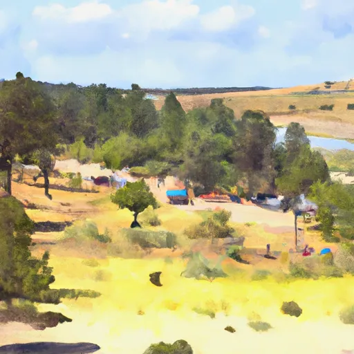 Avalon Resevoir Campground
|
||
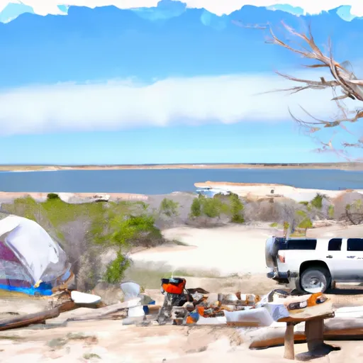 Alkali Lake OHV Dispersed
|
||
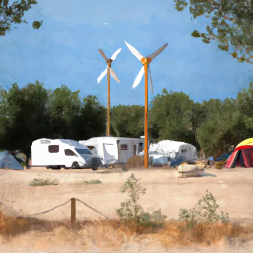 Windmill RV Park
|
||
 Brantley Lake State Park
|

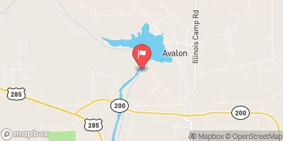


 Avalon
 Avalon Reservoir
 Brantley Lake