


Gaston Shoals Upper Reservoir Report
Last Updated: April 27, 2026
°F
°F
mph
Wind
%
Humidity
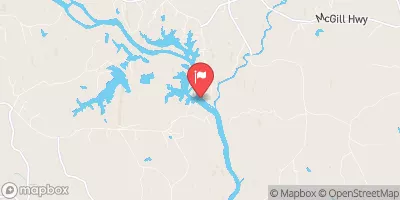
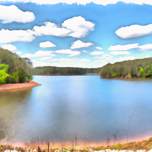
Gaston Shoals Upper, located in Cherokee, South Carolina, is a privately-owned hydroelectric dam on the Broad River with a rich history dating back to its completion in 1908.
Summary
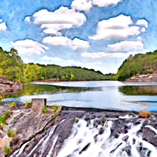
Standing at 45 feet tall and spanning 707 feet in length, this masonry dam serves as a vital source of energy production, utilizing a multi-arch core design on a rock foundation. With a maximum storage capacity of 2500 acre-feet and a drainage area of 1300 square miles, Gaston Shoals Upper plays a crucial role in water resource management and flood control in the region.
Managed by the Federal Energy Regulatory Commission, Gaston Shoals Upper has a low hazard potential and a moderate risk assessment score of 3. While its condition assessment is currently unavailable, the dam remains operational and is subject to regular inspections to ensure its structural integrity. With an uncontrolled spillway width of 506 feet and a maximum discharge capacity of 78,660 cubic feet per second, Gaston Shoals Upper is well-equipped to handle potential emergencies and mitigate risks associated with its operation.
As a key player in the local water resource landscape, Gaston Shoals Upper represents a harmonious blend of historical significance and modern functionality. With its hydroelectric capabilities and commitment to safety and risk management, this dam stands as a testament to the importance of sustainable water infrastructure in the face of climate variability and evolving environmental challenges.
Regional Streamflow Levels

15-Day Long Term Forecast
Year Completed |
1908 |
Dam Length |
707 |
Dam Height |
45 |
River Or Stream |
Broad River |
Primary Dam Type |
Masonry |
Surface Area |
251 |
Hydraulic Height |
45 |
Drainage Area |
1300 |
Nid Storage |
2500 |
Structural Height |
45 |
Hazard Potential |
Low |
Foundations |
Rock |
Nid Height |
45 |
Seasonal Comparison
5-Day Hourly Forecast Detail
Dam Data Reference
Condition Assessment
SatisfactoryNo existing or potential dam safety deficiencies are recognized. Acceptable performance is expected under all loading conditions (static, hydrologic, seismic) in accordance with the minimum applicable state or federal regulatory criteria or tolerable risk guidelines.
Fair
No existing dam safety deficiencies are recognized for normal operating conditions. Rare or extreme hydrologic and/or seismic events may result in a dam safety deficiency. Risk may be in the range to take further action. Note: Rare or extreme event is defined by the regulatory agency based on their minimum
Poor A dam safety deficiency is recognized for normal operating conditions which may realistically occur. Remedial action is necessary. POOR may also be used when uncertainties exist as to critical analysis parameters which identify a potential dam safety deficiency. Investigations and studies are necessary.
Unsatisfactory
A dam safety deficiency is recognized that requires immediate or emergency remedial action for problem resolution.
Not Rated
The dam has not been inspected, is not under state or federal jurisdiction, or has been inspected but, for whatever reason, has not been rated.
Not Available
Dams for which the condition assessment is restricted to approved government users.
Hazard Potential Classification
HighDams assigned the high hazard potential classification are those where failure or mis-operation will probably cause loss of human life.
Significant
Dams assigned the significant hazard potential classification are those dams where failure or mis-operation results in no probable loss of human life but can cause economic loss, environment damage, disruption of lifeline facilities, or impact other concerns. Significant hazard potential classification dams are often located in predominantly rural or agricultural areas but could be in areas with population and significant infrastructure.
Low
Dams assigned the low hazard potential classification are those where failure or mis-operation results in no probable loss of human life and low economic and/or environmental losses. Losses are principally limited to the owner's property.
Undetermined
Dams for which a downstream hazard potential has not been designated or is not provided.
Not Available
Dams for which the downstream hazard potential is restricted to approved government users.
Area Campgrounds
| Location | Reservations | Toilets |
|---|---|---|
 Shelby Mission Camp
|
||
 Garner Creek Backcountry Campsite
|
||
 Garner Creek
|
 Gaston Shoals Reservoir Above Blacksburg
 Ninetynine Island Reservoir Below Cherokee Falls