


Hensley Reservoir Report
Last Updated: April 25, 2026
°F
°F
mph
Wind
%
Humidity
Hensley, located in Monroe, Tennessee, is a private earth dam with a structural height of 40 feet and a storage capacity of 128 acre-feet.
Summary
The dam, completed in an unspecified year, serves a primary purpose of "Other" and is classified as having a high hazard potential. Despite not being state-regulated or permitted, Hensley has a moderate risk assessment rating of 3, indicating some level of concern for potential hazards.
Although Hensley has not been inspected since September 2016, it is subject to a 5-year inspection frequency. The dam has an uncontrolled spillway and no outlet gates, with a surface area of 8 acres. Its emergency action plan (EAP) status is unknown, and there is no information available on the preparation of inundation maps or risk management measures. With its location in a region experiencing climate-related challenges, such as increased precipitation and extreme weather events, Hensley may face heightened risks in the future that necessitate proactive monitoring and maintenance to ensure the safety of surrounding communities and the integrity of the water resource.
Regional Streamflow Levels
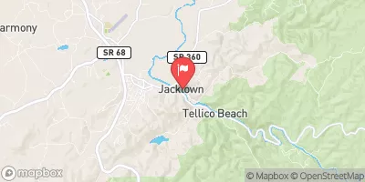 Tellico River At Tellico Plains
|
104cfs |
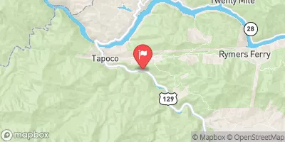 Cheoah River Nr Bearpen Gap Nr Tapoco
|
147cfs |
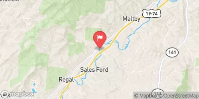 Valley River At Tomotla
|
112cfs |
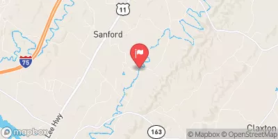 Oostanaula Creek Near Sanford
|
36cfs |
 Little River Near Maryville
|
159cfs |
 Little River Near Alcoa
|
162cfs |
15-Day Long Term Forecast
Primary Dam Type |
Earth |
Surface Area |
8 |
Nid Storage |
128 |
Structural Height |
40 |
Outlet Gates |
None |
Hazard Potential |
High |
Nid Height |
40 |
Seasonal Comparison
5-Day Hourly Forecast Detail
Dam Data Reference
Condition Assessment
SatisfactoryNo existing or potential dam safety deficiencies are recognized. Acceptable performance is expected under all loading conditions (static, hydrologic, seismic) in accordance with the minimum applicable state or federal regulatory criteria or tolerable risk guidelines.
Fair
No existing dam safety deficiencies are recognized for normal operating conditions. Rare or extreme hydrologic and/or seismic events may result in a dam safety deficiency. Risk may be in the range to take further action. Note: Rare or extreme event is defined by the regulatory agency based on their minimum
Poor A dam safety deficiency is recognized for normal operating conditions which may realistically occur. Remedial action is necessary. POOR may also be used when uncertainties exist as to critical analysis parameters which identify a potential dam safety deficiency. Investigations and studies are necessary.
Unsatisfactory
A dam safety deficiency is recognized that requires immediate or emergency remedial action for problem resolution.
Not Rated
The dam has not been inspected, is not under state or federal jurisdiction, or has been inspected but, for whatever reason, has not been rated.
Not Available
Dams for which the condition assessment is restricted to approved government users.
Hazard Potential Classification
HighDams assigned the high hazard potential classification are those where failure or mis-operation will probably cause loss of human life.
Significant
Dams assigned the significant hazard potential classification are those dams where failure or mis-operation results in no probable loss of human life but can cause economic loss, environment damage, disruption of lifeline facilities, or impact other concerns. Significant hazard potential classification dams are often located in predominantly rural or agricultural areas but could be in areas with population and significant infrastructure.
Low
Dams assigned the low hazard potential classification are those where failure or mis-operation results in no probable loss of human life and low economic and/or environmental losses. Losses are principally limited to the owner's property.
Undetermined
Dams for which a downstream hazard potential has not been designated or is not provided.
Not Available
Dams for which the downstream hazard potential is restricted to approved government users.
 Jake Best
 Jake Best Campground
 Indian Boundary Campground
 Indian Boundary Rec Area
 Indian Boundary Overflow Campground
 Indian Boundary Recreation Area
 Fairview Road 2418, Madisonville
 Tn/Nc State Line (Rm 48.0) To Tn360 Bridge (Rm 30.0)
 Indian Boundary Lake
 Tellico River
 Pier
Pier