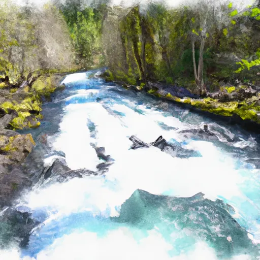
Foster Lake At Foster Reservoir
As of July 17, 2026, Foster Lake At Foster is holding 636 ft of water — 100% of normal storage for this date. Storage data refreshed throughout the day.

Foster Lake At Foster
Foster Lake is a reservoir located near the city of Foster in Oregon. The lake was created in 1968 as a result of the construction of a dam on the South Santiam River. The reservoir is regularly used for irrigation, and also supports recreational activities such as fishing, boating, and camping. The hydrology of Foster Lake is influenced by its location in the Cascade Mountains and its proximity to snowpack providers. The South Santiam River is the primary surface flow into the lake, and snowmelt from the nearby mountains contributes to the lake's water level in the spring and early summer. The lake and surrounding area also support agricultural activities, with farms and ranches located nearby. Overall, Foster Lake is an important resource for the local community, providing water for irrigation and supporting a variety of recreational and agricultural uses.
Daily levels at Foster Lake At Foster
Storage volume, pool elevation, and total release plotted from the operating agency's daily observations.
Lake or reservoir water surface elevation above NGVD 1929, ft
ft · code 62614
Plan around the weather
Same NOAA / yr.no feed Snoflo's iOS app uses. Watch the precipitation column on the meteogram -- rain on the basin upstream typically lifts inflow 24-72 hours later.
Next 5 days, hour by hour
Temperature line with weather symbols on top, snow + rain accumulation as columns, humidity as a dotted line.
5-day forecast table
Every 3 hours, broken out across temperature, snow, rain, humidity, and wind. Each cell is colour-coded relative to the column min/max.
| Time | Condition | Temp (°F) | Snow (in) | Rain (in) | Humidity (%) | Wind (mps) | Wind dir |
|---|---|---|---|---|---|---|---|
| Loading detailed forecast… | |||||||
15-day temperature & precipitation
Daily temperatures, snow, and rain projected over the next two weeks.
Nearby streamflow gauges
USGS streamgauges around Foster Lake At Foster -- inflows here typically show up in storage 24-72 hours later.
| Streamgauge | Discharge | View |
|---|---|---|
| South Santiam River Near Foster | 888 cfs | → |
| Wiley Creek Near Foster | 14 cfs | → |
| South Santiam River Below Cascadia | 84 cfs | → |
| South Santiam River At Waterloo | 833 cfs | → |
| Lebanon Santiam Canal Near Lebanon | 75 cfs | → |
| Quartzville Creek Near Cascadia | 33 cfs | → |


About Foster Lake At Foster
Where does the data for Foster Lake At Foster come from?
Daily storage, pool elevation, and release rates are sourced from USGS, USBR, and USACE monitoring stations. Weather forecast comes from NOAA / yr.no -- the same feed Snoflo's iOS app uses.
How often is the report updated?
Storage observations are updated daily by the operating agency. The 15-day weather forecast refreshes throughout the day. Snoflo caches and renders the most recent observation -- check the "as of" timestamp on the storage card.
What does the Hazard hazard rating mean?
The Corps of Engineers' hazard potential classification grades probable consequences if the dam fails: High = probable loss of human life; Significant = no probable loss of human life but possible economic loss / environmental damage; Low = no probable loss of human life, only minor economic / environmental losses. See the Dam Data Reference card below for the full definitions.
What's "% of normal"?
The current storage value compared to the historical average storage on this calendar day. 100% = right on average; values above 100% mean above-normal storage (wet year); values below mean below-normal (dry year or drought).
Can I get alerts when storage crosses a threshold?
Yes -- alerts are managed in the Snoflo iOS app. Favorite this reservoir, set a threshold, and you'll get a push the moment conditions cross.