


Surmeier Reservoir Report
Last Updated: May 3, 2026
°F
°F
mph
Wind
%
Humidity
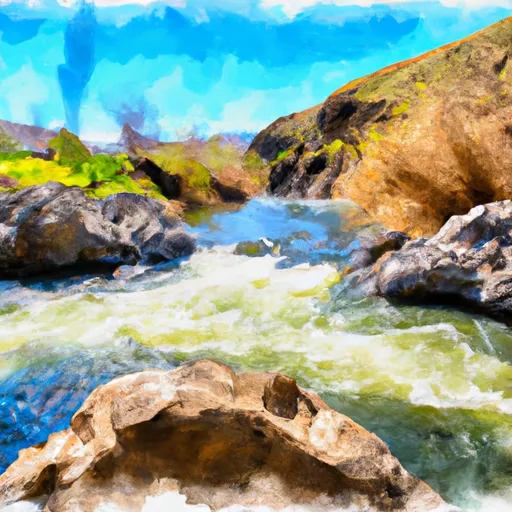
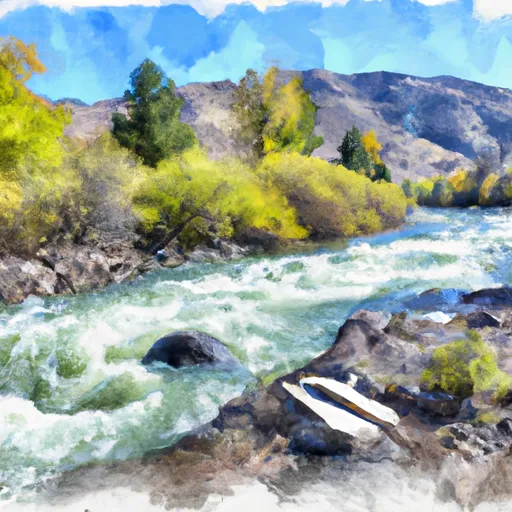
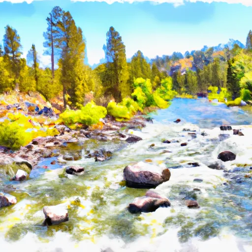
Surmeier, a privately owned dam located in Payette, Idaho, is regulated by the Idaho Department of Water Resources.
Summary
This earth dam, primarily constructed with stone core and rock and soil foundations, stands at a height of 32.1 feet and has a hydraulic height of 26.5 feet. Completed in 1978, Surmeier serves various purposes and has a storage capacity of 26 acre-feet, with a surface area of 3 acres and a drainage area of 0.2 square miles.
With a significant hazard potential and a fair condition assessment as of June 2019, Surmeier is subject to regular inspections every four years to ensure its structural integrity. The dam features an uncontrolled spillway type with a width of 3 feet and slide (sluice gate) outlet gates. While the risk assessment for Surmeier indicates a moderate level of risk, no specific risk management measures or inundation maps have been prepared for the dam.
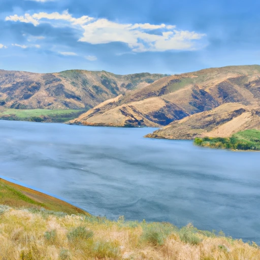
Owned by private entities and situated near the Little Whitley Gulch Creek and Snake River, Surmeier plays a crucial role in water resource management in the region. The dam, under state jurisdiction and regulation, continues to be monitored for any potential risks and undergoes inspections to maintain its operational safety and efficiency.
Regional Streamflow Levels
 Payette River Nr Payette Id
|
5990cfs |
 Snake River At Nyssa Or
|
6760cfs |
 Sand Run Gulch Nr Parma Id
|
113cfs |
 Boise River Nr Parma Id
|
1490cfs |
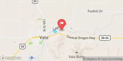 Malheur River Below Nevada Dam Near Vale Or
|
15cfs |
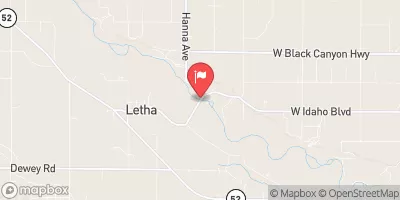 Payette River Nr Letha Id
|
5400cfs |
15-Day Long Term Forecast
Year Completed |
1978 |
Dam Length |
215 |
Dam Height |
32.1 |
River Or Stream |
LITTLE WHITLEY GULCH CREEK SNAKE RIVER |
Surface Area |
3 |
Hydraulic Height |
26.5 |
Drainage Area |
0.2 |
Nid Storage |
26 |
Outlet Gates |
Slide (sluice gate) |
Hazard Potential |
Significant |
Foundations |
Rock, Soil |
Nid Height |
32 |
Seasonal Comparison
5-Day Hourly Forecast Detail
Dam Data Reference
Condition Assessment
SatisfactoryNo existing or potential dam safety deficiencies are recognized. Acceptable performance is expected under all loading conditions (static, hydrologic, seismic) in accordance with the minimum applicable state or federal regulatory criteria or tolerable risk guidelines.
Fair
No existing dam safety deficiencies are recognized for normal operating conditions. Rare or extreme hydrologic and/or seismic events may result in a dam safety deficiency. Risk may be in the range to take further action. Note: Rare or extreme event is defined by the regulatory agency based on their minimum
Poor A dam safety deficiency is recognized for normal operating conditions which may realistically occur. Remedial action is necessary. POOR may also be used when uncertainties exist as to critical analysis parameters which identify a potential dam safety deficiency. Investigations and studies are necessary.
Unsatisfactory
A dam safety deficiency is recognized that requires immediate or emergency remedial action for problem resolution.
Not Rated
The dam has not been inspected, is not under state or federal jurisdiction, or has been inspected but, for whatever reason, has not been rated.
Not Available
Dams for which the condition assessment is restricted to approved government users.
Hazard Potential Classification
HighDams assigned the high hazard potential classification are those where failure or mis-operation will probably cause loss of human life.
Significant
Dams assigned the significant hazard potential classification are those dams where failure or mis-operation results in no probable loss of human life but can cause economic loss, environment damage, disruption of lifeline facilities, or impact other concerns. Significant hazard potential classification dams are often located in predominantly rural or agricultural areas but could be in areas with population and significant infrastructure.
Low
Dams assigned the low hazard potential classification are those where failure or mis-operation results in no probable loss of human life and low economic and/or environmental losses. Losses are principally limited to the owner's property.
Undetermined
Dams for which a downstream hazard potential has not been designated or is not provided.
Not Available
Dams for which the downstream hazard potential is restricted to approved government users.
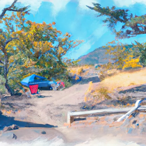
Area Campgrounds
| Location | Reservations | Toilets |
|---|---|---|
 Parma City Park - Old Fort Boise
|
||
 Cow Hollow Park
|
||
 Paddock Reservoir
|
||
 Catfish Junction RV Park
|
||
 Oasis
Oasis
|
||
 Bully Creek Reservoir County Park
|
 Lucky Peak Lake Nr Boise Id
 Ontario State Park
 Big Bend Launch Site
 Owyhee R
 Jump Creek
 Boise Nf Boundary (1 Mile East Of Banks) To Boise Nf Boundary (1 Mile South Of Banks)
 Boise Nf Boundary To Confluence With Payette River
 Dry Cr - M15