Summary
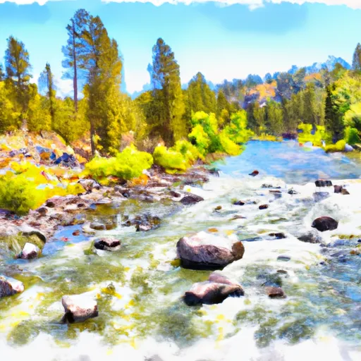
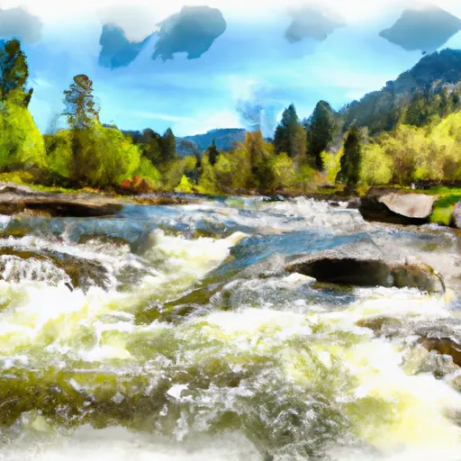
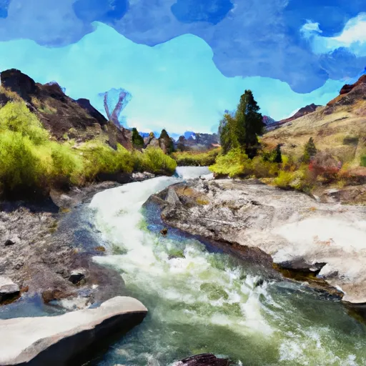
The ideal streamflow range for this run is between 1,000 to 3,000 cfs, which typically occurs during the spring runoff season. This 9.5-mile segment is rated as a class II-III rapid, making it suitable for intermediate paddlers.
The river features several notable rapids, including the "Swirly Canyon" and "Elkhorn." There are also several large boulders and tree jams that paddlers must navigate around. It is important to note that there are no major waterfalls or drops on this run.
Specific regulations for this area include a limit of 12 people per group and a requirement for all paddlers to wear personal flotation devices. Additionally, boaters must stay within the river channel and not disturb the natural vegetation or wildlife in the area.
Overall, the Whitewater River run in Boise National Forest offers a challenging and exciting experience for intermediate paddlers. It is important to check current streamflow conditions and follow all regulations to ensure a safe and enjoyable trip.
°F
°F
mph
Wind
%
Humidity
15-Day Weather Outlook
River Run Details
| Last Updated | 2026-02-07 |
| River Levels | 1090 cfs (6.1 ft) |
| Percent of Normal | 94% |
| Status | |
| Class Level | ii-iii |
| Elevation | ft |
| Streamflow Discharge | cfs |
| Gauge Height | ft |
| Reporting Streamgage | USGS 13246000 |
5-Day Hourly Forecast Detail
Nearby Streamflow Levels
 Nf Payette River Nr Banks Id
|
430cfs |
 Middle Fork Payette River Nr Crouch Id
|
275cfs |
 Payette River Nr Horseshoe Bend Id
|
1430cfs |
 Payette River Nr Emmett Id
|
1720cfs |
 Sf Payette River At Lowman Id
|
470cfs |
 Spring Valley Creek Nr Eagle Id
|
0cfs |


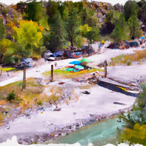 Swinging Bridge Campground - reserve
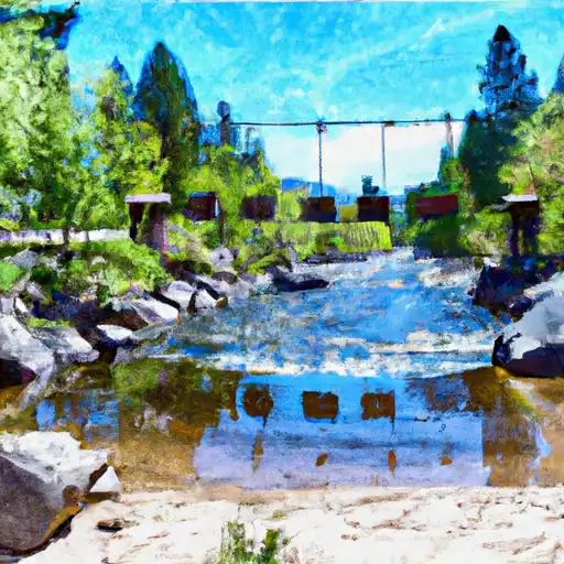 Swinging Bridge
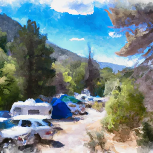 Cold Springs Group ONLY Campground - reserve
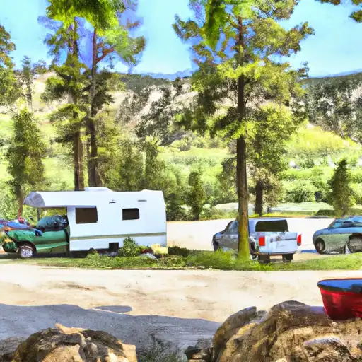 Hot Springs
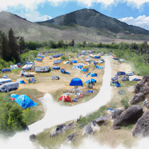 Hot Springs Campground and Group sites - reserve
 Banks River Access
 Deer Creek
 Beehive Bend
 Confluence
 Parnell Recreation Site
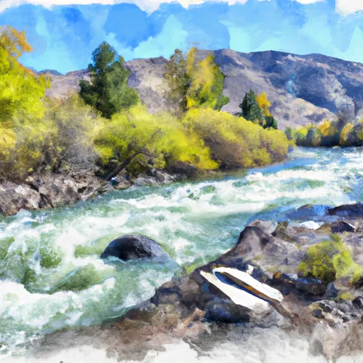 Boise Nf Boundary (1 Mile East Of Banks) To Boise Nf Boundary (1 Mile South Of Banks)
 Boise Nf Boundary To Confluence With Payette River
 South Fork Payette
 Long Gulch To Boise Nf Boundary