


Lk Cypress Spgs Nr Mount Vernon Reservoir Report
Last Updated: May 3, 2026
Nearby: Line Branch 1a Dam Deer Lake Dam
°F
°F
mph
Wind
%
Humidity
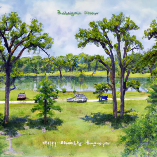
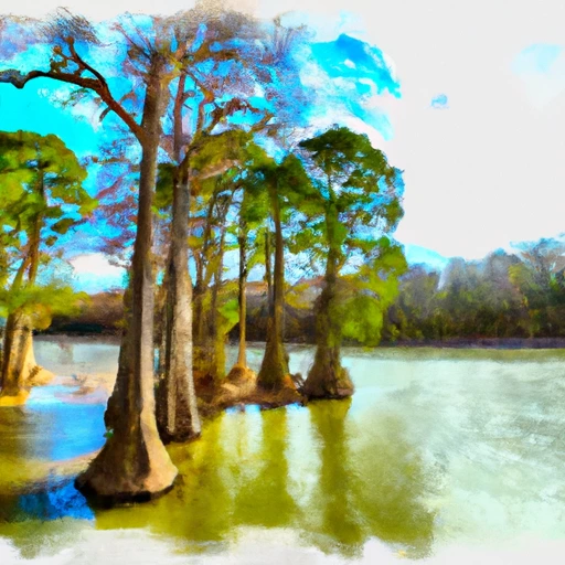
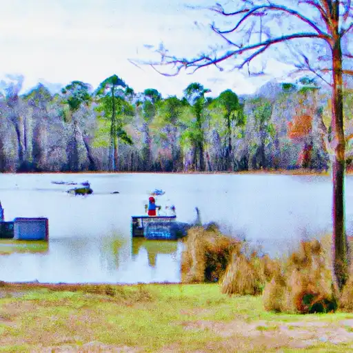
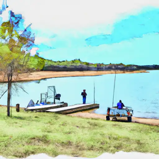
Lake Cypress Springs is a man-made reservoir located near Mount Vernon, Texas.
Summary
It was created in 1970 for the purpose of flood control, municipal water supply, and recreation. The lake covers an area of 3,461 acres and has a maximum depth of 56 feet. The hydrology of the lake is maintained by a series of dams and water control structures. The lake is fed by several small creeks and streams, and the water is primarily used for irrigation and drinking water supply. The lake is also a popular destination for recreational activities such as boating, fishing, and swimming. The surrounding area is home to several agricultural operations, including cattle ranching and crop farming. The lake is considered an important source of water for the local economy and provides many opportunities for outdoor enjoyment.
Regional Streamflow Levels
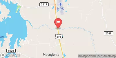 Big Cypress Ck At Us Hwy 271 Nr Pittsburg
|
5cfs |
 Big Cypress Ck Nr Pittsburg
|
19cfs |
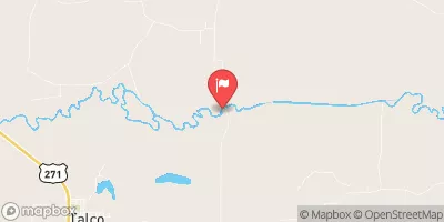
 White Oak Ck Nr Talco
|
157cfs |
 Sulphur Rv Nr Talco
|
143cfs |
 White Oak Ck At Ih 30 Nr Omaha
|
467cfs |
 Lake Fork Ck Nr Quitman
|
8cfs |
15-Day Long Term Forecast
Reservoir Details
| Lake Or Reservoir Water Surface Elevation Above Ngvd 1929, Ft 24hr Change | -0.01% |
| Percent of Normal | 100% |
| Minimum |
373.64 ft
2011-11-19 |
| Maximum |
383.71 ft
2015-12-29 |
| Average | 378 ft |
Seasonal Comparison
Precipitation, Total, In Levels
Lake Or Reservoir Water Surface Elevation Above Ngvd 1929, Ft Levels
5-Day Hourly Forecast Detail
Dam Data Reference
Condition Assessment
SatisfactoryNo existing or potential dam safety deficiencies are recognized. Acceptable performance is expected under all loading conditions (static, hydrologic, seismic) in accordance with the minimum applicable state or federal regulatory criteria or tolerable risk guidelines.
Fair
No existing dam safety deficiencies are recognized for normal operating conditions. Rare or extreme hydrologic and/or seismic events may result in a dam safety deficiency. Risk may be in the range to take further action. Note: Rare or extreme event is defined by the regulatory agency based on their minimum
Poor A dam safety deficiency is recognized for normal operating conditions which may realistically occur. Remedial action is necessary. POOR may also be used when uncertainties exist as to critical analysis parameters which identify a potential dam safety deficiency. Investigations and studies are necessary.
Unsatisfactory
A dam safety deficiency is recognized that requires immediate or emergency remedial action for problem resolution.
Not Rated
The dam has not been inspected, is not under state or federal jurisdiction, or has been inspected but, for whatever reason, has not been rated.
Not Available
Dams for which the condition assessment is restricted to approved government users.
Hazard Potential Classification
HighDams assigned the high hazard potential classification are those where failure or mis-operation will probably cause loss of human life.
Significant
Dams assigned the significant hazard potential classification are those dams where failure or mis-operation results in no probable loss of human life but can cause economic loss, environment damage, disruption of lifeline facilities, or impact other concerns. Significant hazard potential classification dams are often located in predominantly rural or agricultural areas but could be in areas with population and significant infrastructure.
Low
Dams assigned the low hazard potential classification are those where failure or mis-operation results in no probable loss of human life and low economic and/or environmental losses. Losses are principally limited to the owner's property.
Undetermined
Dams for which a downstream hazard potential has not been designated or is not provided.
Not Available
Dams for which the downstream hazard potential is restricted to approved government users.
Area Campgrounds
 Dogwood Park
 Jack Guthrie Park - Monticello Reservoir
 Twin Oaks Park - Lake Cypress Springs
 Walleye Park - Lake Cypress Springs
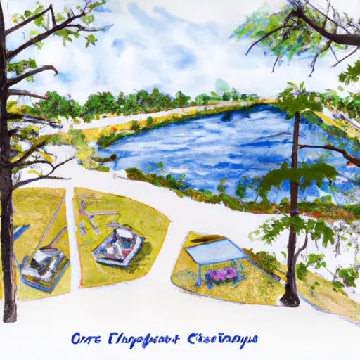 Overlook Park - Lake Cypress Springs
 Lake Bob Sandlin State Park
Nearby Reservoirs
-
Franklin County Dam
-
Line Branch 1a Dam
-
Deer Lake Dam
-
Monticello H-3r Pond Dam
-
Tumco Monticello Mine Dam H-2
-
Davis Newsom Dam
-
 Lk Cypress Spgs Nr Mount Vernon
-
 Monticello Res Nr Mount Pleasant
-
 Lk Bob Sandlin Nr Mount Pleasant
-
 Lake Fork Res Nr Quitman
-
 Lk Sulphur Springs Nr Sulphur Springs
-
 Jim L. Chapman Lk Nr Cooper
 Park Road 2117 Titus County
 Lake Cypress Springs
 Lake Quitman
 Lake Gilmer
 Lone Star Lake
 Lake Fork Reservoir