Beaverdam Pond Reservoir Report
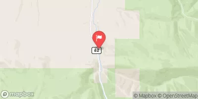
Nearby: Unity Camp Creek Reservoir (Baker)
Last Updated: December 24, 2025
Beaverdam Pond, located in Baker, Oregon, is a privately owned earth dam constructed in 1902 for irrigation purposes.
°F
°F
mph
Wind
%
Humidity
Summary
The dam stands at a height of 10 feet with a maximum storage capacity of 50 acre-feet and covers a surface area of 2.9 acres. Fed by Beaver Dam Creek, the pond plays a crucial role in providing water for agricultural activities in the area.
Despite its age, Beaverdam Pond has a low hazard potential and has not been rated for its condition assessment. The dam features a slide (sluice gate) outlet gate and has a history of regular inspections, with the last inspection conducted in May 2017. The pond is regulated by the Oregon Water Resources Department, ensuring that it meets necessary safety and operational standards for its continued use for irrigation.
Beaverdam Pond serves as a vital water resource for the region, supporting agricultural activities and contributing to the local economy. With its strategic location and efficient design, this historic dam continues to play a crucial role in water management and climate resilience efforts in the area.
Year Completed |
1902 |
Dam Length |
200 |
Dam Height |
10 |
River Or Stream |
BEAVER DAM CREEK |
Primary Dam Type |
Earth |
Surface Area |
2.9 |
Hydraulic Height |
8 |
Drainage Area |
5 |
Nid Storage |
50 |
Structural Height |
11 |
Outlet Gates |
Slide (sluice gate) |
Hazard Potential |
Low |
Nid Height |
11 |
Seasonal Comparison
Weather Forecast
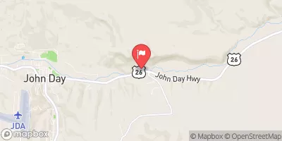
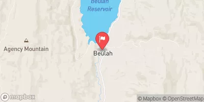
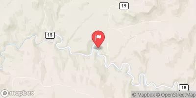
Nearby Streamflow Levels
Dam Data Reference
Condition Assessment
SatisfactoryNo existing or potential dam safety deficiencies are recognized. Acceptable performance is expected under all loading conditions (static, hydrologic, seismic) in accordance with the minimum applicable state or federal regulatory criteria or tolerable risk guidelines.
Fair
No existing dam safety deficiencies are recognized for normal operating conditions. Rare or extreme hydrologic and/or seismic events may result in a dam safety deficiency. Risk may be in the range to take further action. Note: Rare or extreme event is defined by the regulatory agency based on their minimum
Poor A dam safety deficiency is recognized for normal operating conditions which may realistically occur. Remedial action is necessary. POOR may also be used when uncertainties exist as to critical analysis parameters which identify a potential dam safety deficiency. Investigations and studies are necessary.
Unsatisfactory
A dam safety deficiency is recognized that requires immediate or emergency remedial action for problem resolution.
Not Rated
The dam has not been inspected, is not under state or federal jurisdiction, or has been inspected but, for whatever reason, has not been rated.
Not Available
Dams for which the condition assessment is restricted to approved government users.
Hazard Potential Classification
HighDams assigned the high hazard potential classification are those where failure or mis-operation will probably cause loss of human life.
Significant
Dams assigned the significant hazard potential classification are those dams where failure or mis-operation results in no probable loss of human life but can cause economic loss, environment damage, disruption of lifeline facilities, or impact other concerns. Significant hazard potential classification dams are often located in predominantly rural or agricultural areas but could be in areas with population and significant infrastructure.
Low
Dams assigned the low hazard potential classification are those where failure or mis-operation results in no probable loss of human life and low economic and/or environmental losses. Losses are principally limited to the owner's property.
Undetermined
Dams for which a downstream hazard potential has not been designated or is not provided.
Not Available
Dams for which the downstream hazard potential is restricted to approved government users.
Area Campgrounds
| Location | Reservations | Toilets |
|---|---|---|
 Unity Lake State Rec Area
|
||
 Wetmore
|
||
 Wetmore Campground
|
||
 Millers Lane Campground
|
||
 Millers Lane
|
||
 Southwest Shore Campground
|

 Beaverdam Pond