Barbara Kearson Dam Dam

Barbara Kearson Dam
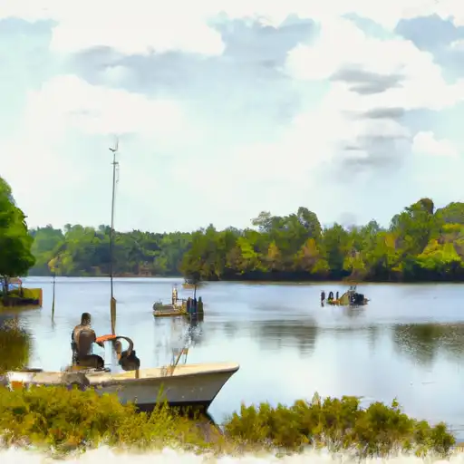
Barbara Kearson Dam in South Carolina, situated in Jasper County, is a privately owned earth dam primarily designed for recreational purposes. Built in 1968, the dam stands at a height of 7 feet and spans 450 feet in length. Its main reservoir has a storage capacity of 75 acre-feet, making it a key feature for leisure activities in the area.
Owned and regulated by private entities, the dam is inspected every five years with a low hazard potential rating. Although the condition assessment is currently not rated, the dam's emergency action plan status and risk management measures remain unspecified. With its location near the TR-Sweet Leaf Swamp, the dam plays a crucial role in providing recreational opportunities while also requiring careful monitoring and upkeep to ensure safety and longevity for water resource and climate enthusiasts in the region.
The dam's association with the Savannah District and oversight by the South Carolina Department of Health and Environmental Control underscores the importance of maintaining infrastructure that balances recreational use with environmental stewardship. As the dam continues to serve as a landmark for outdoor activities and water resource management, ongoing assessments and adherence to regulatory guidelines will be key in safeguarding both the dam's integrity and the surrounding ecosystem for future generations to enjoy.
Plan around the weather
Same NOAA / yr.no feed Snoflo's iOS app uses. Watch the precipitation column on the meteogram -- rain on the basin upstream typically lifts inflow 24-72 hours later.
Next 5 days, hour by hour
Temperature line with weather symbols on top, snow + rain accumulation as columns, humidity as a dotted line.
5-day forecast table
Every 3 hours, broken out across temperature, snow, rain, humidity, and wind. Each cell is colour-coded relative to the column min/max.
| Time | Condition | Temp (°F) | Snow (in) | Rain (in) | Humidity (%) | Wind (mps) | Wind dir |
|---|---|---|---|---|---|---|---|
| Loading detailed forecast… | |||||||
15-day temperature & precipitation
Daily temperatures, snow, and rain projected over the next two weeks.
Nearby streamflow gauges
USGS streamgauges around Barbara Kearson Dam -- inflows here typically show up in storage 24-72 hours later.
| Streamgauge | Discharge | View |
|---|---|---|
| Savannah River Near Port Wentworth | 24,600 cfs | → |
| Abercorn Cr (Water Intake) Nr Savannah | 3,460 cfs | → |
| Savannah River Near Clyo | 6,300 cfs | → |
| Savannah River At Ga 25 | 51,400 cfs | → |
| Ebenezer Creek At Springfield | 2 cfs | → |
| Savannah River At Fort Pulaski | 239,000 cfs | → |


About Barbara Kearson Dam
Where does the data for Barbara Kearson Dam come from?
Structural and regulatory data come from the U.S. Army Corps of Engineers' National Inventory of Dams (NID). Weather forecast comes from NOAA / yr.no -- the same feed Snoflo's iOS app uses.
How often is the report updated?
NID structural data refreshes annually as the Corps publishes updated assessments. The weather forecast refreshes throughout the day.
What does the Low hazard rating mean?
The Corps of Engineers' hazard potential classification grades probable consequences if the dam fails: High = probable loss of human life; Significant = no probable loss of human life but possible economic loss / environmental damage; Low = no probable loss of human life, only minor economic / environmental losses. See the Dam Data Reference card below for the full definitions.
What's "% of normal"?
The current storage value compared to the historical average storage on this calendar day. 100% = right on average; values above 100% mean above-normal storage (wet year); values below mean below-normal (dry year or drought).
Can I get alerts when storage crosses a threshold?
Yes -- alerts are managed in the Snoflo iOS app. Favorite this dam, set a threshold, and you'll get a push the moment conditions cross.
Dam data reference
Condition Assessment
- Satisfactory
- No existing or potential dam safety deficiencies are recognized. Acceptable performance is expected under all loading conditions (static, hydrologic, seismic) in accordance with the minimum applicable state or federal regulatory criteria or tolerable risk guidelines.
- Fair
- No existing dam safety deficiencies are recognized for normal operating conditions. Rare or extreme hydrologic and/or seismic events may result in a dam safety deficiency. Risk may be in the range to take further action.
- Poor
- A dam safety deficiency is recognized for normal operating conditions which may realistically occur. Remedial action is necessary. POOR may also be used when uncertainties exist as to critical analysis parameters which identify a potential dam safety deficiency.
- Unsatisfactory
- A dam safety deficiency is recognized that requires immediate or emergency remedial action for problem resolution.
- Not Rated
- The dam has not been inspected, is not under state or federal jurisdiction, or has been inspected but, for whatever reason, has not been rated.
Hazard Potential Classification
- High
- Dams assigned the high hazard potential classification are those where failure or mis-operation will probably cause loss of human life.
- Significant
- Dams assigned the significant hazard potential classification are those dams where failure or mis-operation results in no probable loss of human life but can cause economic loss, environmental damage, disruption of lifeline facilities, or impact other concerns. Significant hazard potential classification dams are often located in predominantly rural or agricultural areas but could be in areas with population and significant infrastructure.
- Low
- Dams assigned the low hazard potential classification are those where failure or mis-operation results in no probable loss of human life and low economic and/or environmental losses. Losses are principally limited to the owner's property.
- Undetermined
- Dams for which a downstream hazard potential has not been designated or is not provided.