


Toledo Bend Saddle Dike 3 Reservoir Report
Last Updated: May 1, 2026
Nearby: Toledo Bend Toledo Bend Saddle Dike 1
°F
°F
mph
Wind
%
Humidity
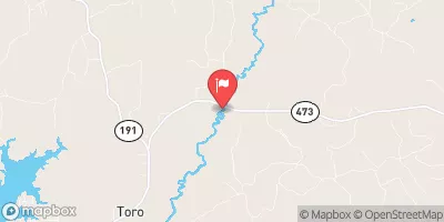
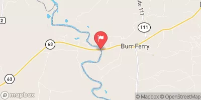
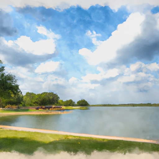
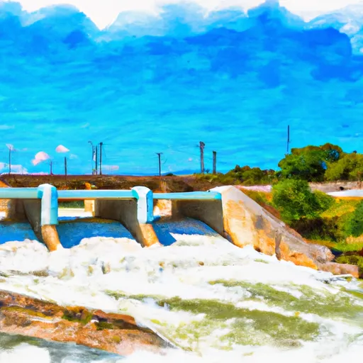
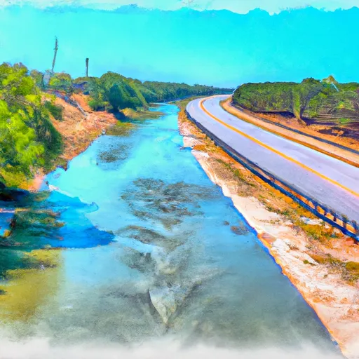
Toledo Bend Saddle Dike 3, located in Burr Ferry, Louisiana, is a vital structure designed for hydroelectric purposes along the Sabine River.
Summary
Built in 1966 with a dam height of 11 feet and a length of 315 feet, the dike plays a crucial role in water management, offering a storage capacity of 5,097,500 acre-feet. Its primary function is hydroelectric power generation, alongside supporting navigation, recreation, and water supply needs in the region.
Managed by the Federal Energy Regulatory Commission, Toledo Bend Saddle Dike 3 is one of three associated structures in the area, contributing to a surface area of 182,490 acres and serving a drainage area of 7,190 square miles. Despite its high hazard potential, with a risk assessment of 2 on a scale of 1 to 5, the condition assessment of the dike is currently unavailable. Emergency action preparedness, including contact information and risk management measures, is under review, highlighting the importance of proactive measures in safeguarding the structure and surrounding areas.
With a tribal government as the primary owner, Toledo Bend Saddle Dike 3 stands as a significant landmark in water resource management and climate resilience efforts. As enthusiasts of water resources and climate, understanding the critical role of infrastructure like this dam in sustainable development and disaster risk reduction is essential for ensuring the long-term health and safety of communities relying on its services.
Regional Streamflow Levels
 Sabine Rv At Toledo Bd Res Nr Burkeville
|
334cfs |
 Bayou Toro Near Toro
|
181cfs |
 Sabine Rv Nr Burkeville
|
663cfs |
 Bayou Anacoco Near Rosepine
|
308cfs |
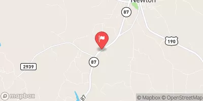 Big Cow Ck Nr Newton
|
190cfs |
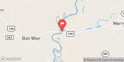 Sabine Rv Nr Bon Wier
|
1050cfs |
15-Day Long Term Forecast
Year Completed |
1966 |
Dam Length |
315 |
Dam Height |
11 |
River Or Stream |
Sabine |
Surface Area |
182490 |
Drainage Area |
7190 |
Nid Storage |
5097500 |
Structural Height |
11 |
Hazard Potential |
High |
Foundations |
Soil |
Nid Height |
11 |
Seasonal Comparison
5-Day Hourly Forecast Detail
Dam Data Reference
Condition Assessment
SatisfactoryNo existing or potential dam safety deficiencies are recognized. Acceptable performance is expected under all loading conditions (static, hydrologic, seismic) in accordance with the minimum applicable state or federal regulatory criteria or tolerable risk guidelines.
Fair
No existing dam safety deficiencies are recognized for normal operating conditions. Rare or extreme hydrologic and/or seismic events may result in a dam safety deficiency. Risk may be in the range to take further action. Note: Rare or extreme event is defined by the regulatory agency based on their minimum
Poor A dam safety deficiency is recognized for normal operating conditions which may realistically occur. Remedial action is necessary. POOR may also be used when uncertainties exist as to critical analysis parameters which identify a potential dam safety deficiency. Investigations and studies are necessary.
Unsatisfactory
A dam safety deficiency is recognized that requires immediate or emergency remedial action for problem resolution.
Not Rated
The dam has not been inspected, is not under state or federal jurisdiction, or has been inspected but, for whatever reason, has not been rated.
Not Available
Dams for which the condition assessment is restricted to approved government users.
Hazard Potential Classification
HighDams assigned the high hazard potential classification are those where failure or mis-operation will probably cause loss of human life.
Significant
Dams assigned the significant hazard potential classification are those dams where failure or mis-operation results in no probable loss of human life but can cause economic loss, environment damage, disruption of lifeline facilities, or impact other concerns. Significant hazard potential classification dams are often located in predominantly rural or agricultural areas but could be in areas with population and significant infrastructure.
Low
Dams assigned the low hazard potential classification are those where failure or mis-operation results in no probable loss of human life and low economic and/or environmental losses. Losses are principally limited to the owner's property.
Undetermined
Dams for which a downstream hazard potential has not been designated or is not provided.
Not Available
Dams for which the downstream hazard potential is restricted to approved government users.
 South Toledo Bend State Park
 Pleasure Point State Rec Area - Toledo Bend Lake
 Toledo Bend Military
 Willow Oak
 Willow Oak: (409) 625-1940
 Lakeview Campground: (409) 625-1940
 Toledo Bd Res Nr Burkeville
 Sam Rayburn Res Nr Jasper
 B. A. Steinhagen Lk At Town Bluff
 Nantachie Lake Near Aloha
 Us Highway 69 To Ba Steinhagen Reservoir
 Town Bluff Dam To Hwy 96 Bridge
 Us Highway 59 To Us Highway 69