


Toledo Bd Res Nr Burkeville Reservoir Report
Last Updated: May 1, 2026
Nearby: Toledo Bend Saddle Dike 1 Toledo Bend
°F
°F
mph
Wind
%
Humidity
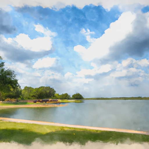
Toledo BD Res NR Burkeville is a reservoir located in the eastern part of Texas.
Summary
The reservoir was created in 1969 with the construction of the Toledo Bend Dam on the Sabine River, which forms the Texas-Louisiana border. The reservoir has a surface area of 185,000 acres, making it one of the largest in the United States. It is primarily used for hydroelectric power generation, flood control, and recreation, including fishing, boating, and camping. The reservoir is fed by several major tributaries and receives water from the Sabine River Basin. The area also receives precipitation from snowpack in the winter months. The reservoir serves as a major source of water for agricultural use and provides drinking water to nearby communities.
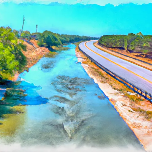
Regional Streamflow Levels
 Sabine Rv At Toledo Bd Res Nr Burkeville
|
334cfs |
 Sabine Rv Nr Burkeville
|
663cfs |
 Bayou Toro Near Toro
|
181cfs |
 Bayou Anacoco Near Rosepine
|
308cfs |
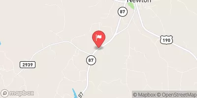 Big Cow Ck Nr Newton
|
190cfs |
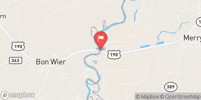 Sabine Rv Nr Bon Wier
|
1050cfs |
15-Day Long Term Forecast
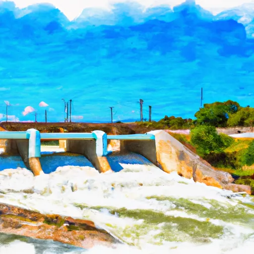
Reservoir Details
| Lake Or Reservoir Water Surface Elevation Above Ngvd 1929, Ft 24hr Change | 0.04% |
| Percent of Normal | 100% |
| Minimum |
159.51 ft
2011-11-22 |
| Maximum |
174.0 ft
2016-03-11 |
| Average | 171 ft |
| Dam_Height | 55 |
| Hydraulic_Height | 52 |
| Drainage_Area | 7190 |
| Year_Completed | 1966 |
| Nid_Storage | 5097500 |
| Hazard_Potential | High |
| Structural_Height | 75 |
| River_Or_Stream | Sabine |
| Foundations | Soil |
| Surface_Area | 182490 |
| Dam_Length | 1170 |
| Nid_Height | 75 |
Seasonal Comparison
Precipitation, Total, In Levels
Reservoir Storage, Acre-Ft Levels
Lake Or Reservoir Water Surface Elevation Above Ngvd 1929, Ft Levels
5-Day Hourly Forecast Detail
Dam Data Reference
Condition Assessment
SatisfactoryNo existing or potential dam safety deficiencies are recognized. Acceptable performance is expected under all loading conditions (static, hydrologic, seismic) in accordance with the minimum applicable state or federal regulatory criteria or tolerable risk guidelines.
Fair
No existing dam safety deficiencies are recognized for normal operating conditions. Rare or extreme hydrologic and/or seismic events may result in a dam safety deficiency. Risk may be in the range to take further action. Note: Rare or extreme event is defined by the regulatory agency based on their minimum
Poor A dam safety deficiency is recognized for normal operating conditions which may realistically occur. Remedial action is necessary. POOR may also be used when uncertainties exist as to critical analysis parameters which identify a potential dam safety deficiency. Investigations and studies are necessary.
Unsatisfactory
A dam safety deficiency is recognized that requires immediate or emergency remedial action for problem resolution.
Not Rated
The dam has not been inspected, is not under state or federal jurisdiction, or has been inspected but, for whatever reason, has not been rated.
Not Available
Dams for which the condition assessment is restricted to approved government users.
Hazard Potential Classification
HighDams assigned the high hazard potential classification are those where failure or mis-operation will probably cause loss of human life.
Significant
Dams assigned the significant hazard potential classification are those dams where failure or mis-operation results in no probable loss of human life but can cause economic loss, environment damage, disruption of lifeline facilities, or impact other concerns. Significant hazard potential classification dams are often located in predominantly rural or agricultural areas but could be in areas with population and significant infrastructure.
Low
Dams assigned the low hazard potential classification are those where failure or mis-operation results in no probable loss of human life and low economic and/or environmental losses. Losses are principally limited to the owner's property.
Undetermined
Dams for which a downstream hazard potential has not been designated or is not provided.
Not Available
Dams for which the downstream hazard potential is restricted to approved government users.
 South Toledo Bend State Park
 Pleasure Point State Rec Area - Toledo Bend Lake
 Toledo Bend Military
 Willow Oak
 Willow Oak: (409) 625-1940
 Lakeview Campground: (409) 625-1940
 Toledo Bd Res Nr Burkeville
 Sam Rayburn Res Nr Jasper
 B. A. Steinhagen Lk At Town Bluff
 Nantachie Lake Near Aloha
 Us Highway 69 To Ba Steinhagen Reservoir
 Town Bluff Dam To Hwy 96 Bridge
 Us Highway 59 To Us Highway 69