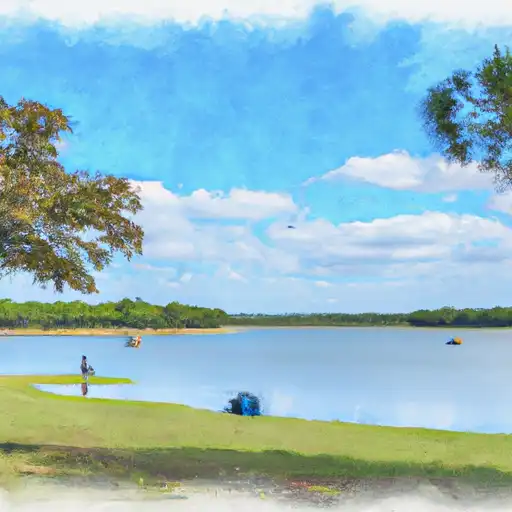
Lk Bonham Nr Bonham Reservoir
As of July 18, 2026, Lk Bonham Nr Bonham is holding 565 ft of water. Storage data refreshed throughout the day.

Lk Bonham Nr Bonham
Lake Bonham is a reservoir located in Fannin County, Texas. The Lake was built in 1969 and named after James P. Bonham, a hero of the Texas Revolution. The Lake is fed by Bois d'Arc Creek and Pecan Creek, and it serves as a water supply for the surrounding area. The Lake is surrounded by several parks and recreational areas, providing excellent opportunities for fishing, boating, and camping. The Lake is also used for agricultural purposes, with irrigation water being supplied to nearby farms. The hydrology of the Lake is closely monitored by the US Geological Survey, and specific surface flow and snowpack providers are available for public use. Overall, Lake Bonham is an important source of water for the surrounding area, and its recreational and agricultural uses make it a valuable resource for the community.
Daily levels at Lk Bonham Nr Bonham
Storage volume, pool elevation, and total release plotted from the operating agency's daily observations.
Lake or reservoir water surface elevation above NGVD 1929, ft
ft · code 62614
Plan around the weather
Same NOAA / yr.no feed Snoflo's iOS app uses. Watch the precipitation column on the meteogram -- rain on the basin upstream typically lifts inflow 24-72 hours later.
Next 5 days, hour by hour
Temperature line with weather symbols on top, snow + rain accumulation as columns, humidity as a dotted line.
5-day forecast table
Every 3 hours, broken out across temperature, snow, rain, humidity, and wind. Each cell is colour-coded relative to the column min/max.
| Time | Condition | Temp (°F) | Snow (in) | Rain (in) | Humidity (%) | Wind (mps) | Wind dir |
|---|---|---|---|---|---|---|---|
| Loading detailed forecast… | |||||||
15-day temperature & precipitation
Daily temperatures, snow, and rain projected over the next two weeks.
Nearby streamflow gauges
USGS streamgauges around Lk Bonham Nr Bonham -- inflows here typically show up in storage 24-72 hours later.
| Streamgauge | Discharge | View |
|---|---|---|
| Bois D'Arc Ck At Fm 1396 Nr Honey Grove | · | → |
| Bois D'Arc Ck At Fm 409 Nr Honey Grove | 3 cfs | → |
| Blue River Near Blue | 70 cfs | → |
| Red River At Denison Dam Nr Denison | 395 cfs | → |
| Middle Sulphur Rv At Commerce | 0 cfs | → |
| Sister Grove Ck Nr Blue Ridge | 3 cfs | → |


About Lk Bonham Nr Bonham
Where does the data for Lk Bonham Nr Bonham come from?
Daily storage, pool elevation, and release rates are sourced from USGS, USBR, and USACE monitoring stations. Weather forecast comes from NOAA / yr.no -- the same feed Snoflo's iOS app uses.
How often is the report updated?
Storage observations are updated daily by the operating agency. The 15-day weather forecast refreshes throughout the day. Snoflo caches and renders the most recent observation -- check the "as of" timestamp on the storage card.
What does the Hazard hazard rating mean?
The Corps of Engineers' hazard potential classification grades probable consequences if the dam fails: High = probable loss of human life; Significant = no probable loss of human life but possible economic loss / environmental damage; Low = no probable loss of human life, only minor economic / environmental losses. See the Dam Data Reference card below for the full definitions.
What's "% of normal"?
The current storage value compared to the historical average storage on this calendar day. 100% = right on average; values above 100% mean above-normal storage (wet year); values below mean below-normal (dry year or drought).
Can I get alerts when storage crosses a threshold?
Yes -- alerts are managed in the Snoflo iOS app. Favorite this reservoir, set a threshold, and you'll get a push the moment conditions cross.