Robert Wheeler Lake No 1 Dam Dam

Robert Wheeler Lake No 1 Dam
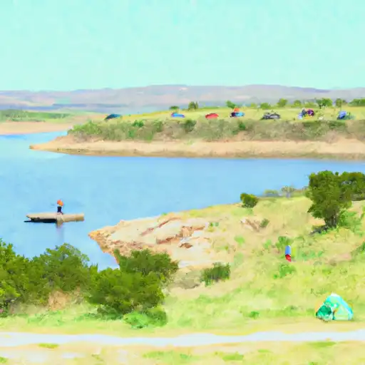
Robert Wheeler Lake No 1 Dam, located in Three Rivers, Texas, is a privately owned Earth dam constructed in 1968 by the USDA NRCS for multiple purposes, including fire protection, stock watering, and recreational activities. The dam stands at a height of 13 feet and has a length of 1142 feet, providing a storage capacity of 80 acre-feet. Situated on Leoncita Creek in McMullen County, Texas, this dam plays a crucial role in water resource management and wildlife conservation in the region.
Despite being privately owned, the dam is subject to state permitting and inspection, ensuring its structural integrity and compliance with regulations. The lack of a spillway and associated locks indicates a low risk of failure, although a risk assessment categorizes it as having a moderate hazard potential. The dam's strategic location and design make it a key infrastructure for maintaining water levels, supporting local ecosystems, and enhancing the overall resilience of the region in the face of climate change impacts.
For water resource and climate enthusiasts, Robert Wheeler Lake No 1 Dam serves as a fascinating example of sustainable water management and infrastructure development in a rural setting. Its incorporation of fire protection, stock watering, and recreational features highlights the versatility of such structures in addressing multiple community needs. As water scarcity and extreme weather events become more prevalent, the importance of well-maintained dams like Robert Wheeler Lake No 1 Dam in ensuring water security and environmental sustainability cannot be overstated.
Plan around the weather
Same NOAA / yr.no feed Snoflo's iOS app uses. Watch the precipitation column on the meteogram -- rain on the basin upstream typically lifts inflow 24-72 hours later.
Next 5 days, hour by hour
Temperature line with weather symbols on top, snow + rain accumulation as columns, humidity as a dotted line.
5-day forecast table
Every 3 hours, broken out across temperature, snow, rain, humidity, and wind. Each cell is colour-coded relative to the column min/max.
| Time | Condition | Temp (°F) | Snow (in) | Rain (in) | Humidity (%) | Wind (mps) | Wind dir |
|---|---|---|---|---|---|---|---|
| Loading detailed forecast… | |||||||
15-day temperature & precipitation
Daily temperatures, snow, and rain projected over the next two weeks.
Nearby streamflow gauges
USGS streamgauges around Robert Wheeler Lake No 1 Dam -- inflows here typically show up in storage 24-72 hours later.
| Streamgauge | Discharge | View |
|---|---|---|
| San Miguel Ck Nr Tilden | · | → |
| Frio Rv At Tilden | 0 cfs | → |
| Nueces Rv Nr Tilden | 0 cfs | → |
| Atascosa Rv At Whitsett | 0 cfs | → |
| Choke Canyon Res Owc Nr Three Rivers | 33 cfs | → |
| Atascosa Rv Nr Mccoy | 0 cfs | → |


About Robert Wheeler Lake No 1 Dam
Where does the data for Robert Wheeler Lake No 1 Dam come from?
Structural and regulatory data come from the U.S. Army Corps of Engineers' National Inventory of Dams (NID). Weather forecast comes from NOAA / yr.no -- the same feed Snoflo's iOS app uses.
How often is the report updated?
NID structural data refreshes annually as the Corps publishes updated assessments. The weather forecast refreshes throughout the day.
What does the Not Available hazard rating mean?
The Corps of Engineers' hazard potential classification grades probable consequences if the dam fails: High = probable loss of human life; Significant = no probable loss of human life but possible economic loss / environmental damage; Low = no probable loss of human life, only minor economic / environmental losses. See the Dam Data Reference card below for the full definitions.
What's "% of normal"?
The current storage value compared to the historical average storage on this calendar day. 100% = right on average; values above 100% mean above-normal storage (wet year); values below mean below-normal (dry year or drought).
Can I get alerts when storage crosses a threshold?
Yes -- alerts are managed in the Snoflo iOS app. Favorite this dam, set a threshold, and you'll get a push the moment conditions cross.
Dam data reference
Condition Assessment
- Satisfactory
- No existing or potential dam safety deficiencies are recognized. Acceptable performance is expected under all loading conditions (static, hydrologic, seismic) in accordance with the minimum applicable state or federal regulatory criteria or tolerable risk guidelines.
- Fair
- No existing dam safety deficiencies are recognized for normal operating conditions. Rare or extreme hydrologic and/or seismic events may result in a dam safety deficiency. Risk may be in the range to take further action.
- Poor
- A dam safety deficiency is recognized for normal operating conditions which may realistically occur. Remedial action is necessary. POOR may also be used when uncertainties exist as to critical analysis parameters which identify a potential dam safety deficiency.
- Unsatisfactory
- A dam safety deficiency is recognized that requires immediate or emergency remedial action for problem resolution.
- Not Rated
- The dam has not been inspected, is not under state or federal jurisdiction, or has been inspected but, for whatever reason, has not been rated.
Hazard Potential Classification
- High
- Dams assigned the high hazard potential classification are those where failure or mis-operation will probably cause loss of human life.
- Significant
- Dams assigned the significant hazard potential classification are those dams where failure or mis-operation results in no probable loss of human life but can cause economic loss, environmental damage, disruption of lifeline facilities, or impact other concerns. Significant hazard potential classification dams are often located in predominantly rural or agricultural areas but could be in areas with population and significant infrastructure.
- Low
- Dams assigned the low hazard potential classification are those where failure or mis-operation results in no probable loss of human life and low economic and/or environmental losses. Losses are principally limited to the owner's property.
- Undetermined
- Dams for which a downstream hazard potential has not been designated or is not provided.