Deer Creek Reservoir Reservoir
As of July 21, 2026, Deer Creek Reservoir is holding 101,524 acre-ft of water — 82% of normal storage for this date. Storage data refreshed throughout the day.

Deer Creek Reservoir
Deer Creek Reservoir is located in Utah and was constructed in the 1930s as part of the Provo River Project to provide water to farmers in the area. The reservoir has a capacity of 152,000 acre-feet and is fed by snowpack in the surrounding mountains and by the Provo River. The reservoir is used for irrigation purposes and also provides water for nearby municipalities. Additionally, it serves as a popular recreational spot for fishing, boating, and camping. The reservoir is managed by the Central Utah Water Conservancy District and plays an important role in maintaining water levels for the area’s agricultural and recreational needs.
Daily levels at Deer Creek Reservoir
Storage volume, pool elevation, and total release plotted from the operating agency's daily observations.
Storage
acre-ft · code 17
Inflow
cfs · code 29
Pool Elevation
ft · code 49
Total Release
cfs · code 42
Plan around the weather
Same NOAA / yr.no feed Snoflo's iOS app uses. Watch the precipitation column on the meteogram -- rain on the basin upstream typically lifts inflow 24-72 hours later.
Next 5 days, hour by hour
Temperature line with weather symbols on top, snow + rain accumulation as columns, humidity as a dotted line.
5-day forecast table
Every 3 hours, broken out across temperature, snow, rain, humidity, and wind. Each cell is colour-coded relative to the column min/max.
| Time | Condition | Temp (°F) | Snow (in) | Rain (in) | Humidity (%) | Wind (mps) | Wind dir |
|---|---|---|---|---|---|---|---|
| Loading detailed forecast… | |||||||
15-day temperature & precipitation
Daily temperatures, snow, and rain projected over the next two weeks.
Nearby streamflow gauges
USGS streamgauges around Deer Creek Reservoir -- inflows here typically show up in storage 24-72 hours later.
| Streamgauge | Discharge | View |
|---|---|---|
| Daniels Creek At Charleston | · | → |
| Snake Creek Near Charleston | 25 cfs | → |
| Provo River Near Charleston | 226 cfs | → |
| American Fk Ab Upper Powerplant Nr American Fk | 23 cfs | → |
| Provo River At River Road Bridge | 178 cfs | → |
| Provo River At Provo | 32 cfs | → |
Make a day of it
Boat launches, lakeside camping, fishing access, and other reservoirs near Deer Creek Reservoir.
Boat launches
See all →


Campgrounds
See all →


Fishing spots
See all →


River runs
See all →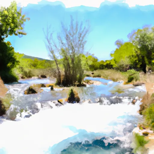


About Deer Creek Reservoir
Where does the data for Deer Creek Reservoir come from?
Daily storage, pool elevation, and release rates are sourced from USGS, USBR, and USACE monitoring stations. Weather forecast comes from NOAA / yr.no -- the same feed Snoflo's iOS app uses.
How often is the report updated?
Storage observations are updated daily by the operating agency. The 15-day weather forecast refreshes throughout the day. Snoflo caches and renders the most recent observation -- check the "as of" timestamp on the storage card.
What does the Hazard hazard rating mean?
The Corps of Engineers' hazard potential classification grades probable consequences if the dam fails: High = probable loss of human life; Significant = no probable loss of human life but possible economic loss / environmental damage; Low = no probable loss of human life, only minor economic / environmental losses. See the Dam Data Reference card below for the full definitions.
What's "% of normal"?
The current storage value compared to the historical average storage on this calendar day. 100% = right on average; values above 100% mean above-normal storage (wet year); values below mean below-normal (dry year or drought).
Can I get alerts when storage crosses a threshold?
Yes -- alerts are managed in the Snoflo iOS app. Favorite this reservoir, set a threshold, and you'll get a push the moment conditions cross.