Deer Creek Dam

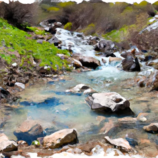
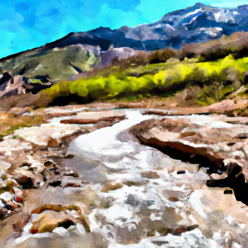
Deer Creek
Deer Creek, located in Wasatch, Utah, is a federal-owned water resource managed by the Bureau of Reclamation. This reservoir, completed in 1941, serves primarily for irrigation purposes with a storage capacity of 161,070 acre-feet. It is situated along the Provo River, approximately 14 miles from Provo, Utah. The dam stands at 235 feet tall with a hydraulic height of 155 feet, making it a significant structure in the region.
With a surface area of 2,683 acres and a drainage area of 597 square miles, Deer Creek plays a crucial role in water management and flood control in the area. The reservoir also boasts a controlled spillway with a width of 45 feet, ensuring safe water release during peak flows. However, with a high hazard potential and a very high risk assessment rating, continuous monitoring and maintenance are imperative to ensure the safety and integrity of the dam and surrounding communities.
The Bureau of Reclamation oversees the operations, inspections, and regulatory aspects of Deer Creek, emphasizing the importance of emergency preparedness and risk management. Despite its age, the dam has undergone modifications in 2006 to enhance its foundation and seismic resilience. Deer Creek stands as a vital water resource in Utah, highlighting the intricate balance between water supply, irrigation needs, and environmental considerations in the region.
Plan around the weather
Same NOAA / yr.no feed Snoflo's iOS app uses. Watch the precipitation column on the meteogram -- rain on the basin upstream typically lifts inflow 24-72 hours later.
Next 5 days, hour by hour
Temperature line with weather symbols on top, snow + rain accumulation as columns, humidity as a dotted line.
5-day forecast table
Every 3 hours, broken out across temperature, snow, rain, humidity, and wind. Each cell is colour-coded relative to the column min/max.
| Time | Condition | Temp (°F) | Snow (in) | Rain (in) | Humidity (%) | Wind (mps) | Wind dir |
|---|---|---|---|---|---|---|---|
| Loading detailed forecast… | |||||||
15-day temperature & precipitation
Daily temperatures, snow, and rain projected over the next two weeks.
Nearby streamflow gauges
USGS streamgauges around Deer Creek -- inflows here typically show up in storage 24-72 hours later.
| Streamgauge | Discharge | View |
|---|---|---|
| Daniels Creek At Charleston | · | → |
| Snake Creek Near Charleston | 22 cfs | → |
| Provo River Near Charleston | 192 cfs | → |
| American Fk Ab Upper Powerplant Nr American Fk | 19 cfs | → |
| Provo River At River Road Bridge | 162 cfs | → |
| Provo River At Provo | 39 cfs | → |
Make a day of it
Boat launches, lakeside camping, fishing access, and other reservoirs near Deer Creek.
Boat launches
See all →


Campgrounds
See all →


Fishing spots
See all →


River runs
See all →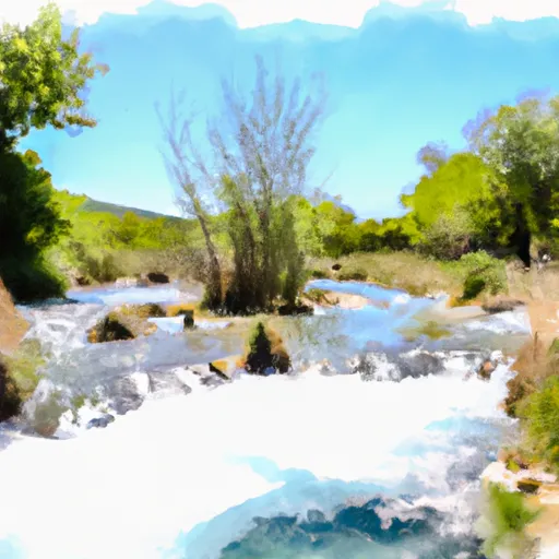


About Deer Creek
Where does the data for Deer Creek come from?
Structural and regulatory data come from the U.S. Army Corps of Engineers' National Inventory of Dams (NID). Weather forecast comes from NOAA / yr.no -- the same feed Snoflo's iOS app uses.
How often is the report updated?
NID structural data refreshes annually as the Corps publishes updated assessments. The weather forecast refreshes throughout the day.
What does the High hazard rating mean?
The Corps of Engineers' hazard potential classification grades probable consequences if the dam fails: High = probable loss of human life; Significant = no probable loss of human life but possible economic loss / environmental damage; Low = no probable loss of human life, only minor economic / environmental losses. See the Dam Data Reference card below for the full definitions.
What's "% of normal"?
The current storage value compared to the historical average storage on this calendar day. 100% = right on average; values above 100% mean above-normal storage (wet year); values below mean below-normal (dry year or drought).
Can I get alerts when storage crosses a threshold?
Yes -- alerts are managed in the Snoflo iOS app. Favorite this dam, set a threshold, and you'll get a push the moment conditions cross.
Dam data reference
Condition Assessment
- Satisfactory
- No existing or potential dam safety deficiencies are recognized. Acceptable performance is expected under all loading conditions (static, hydrologic, seismic) in accordance with the minimum applicable state or federal regulatory criteria or tolerable risk guidelines.
- Fair
- No existing dam safety deficiencies are recognized for normal operating conditions. Rare or extreme hydrologic and/or seismic events may result in a dam safety deficiency. Risk may be in the range to take further action.
- Poor
- A dam safety deficiency is recognized for normal operating conditions which may realistically occur. Remedial action is necessary. POOR may also be used when uncertainties exist as to critical analysis parameters which identify a potential dam safety deficiency.
- Unsatisfactory
- A dam safety deficiency is recognized that requires immediate or emergency remedial action for problem resolution.
- Not Rated
- The dam has not been inspected, is not under state or federal jurisdiction, or has been inspected but, for whatever reason, has not been rated.
Hazard Potential Classification
- High
- Dams assigned the high hazard potential classification are those where failure or mis-operation will probably cause loss of human life.
- Significant
- Dams assigned the significant hazard potential classification are those dams where failure or mis-operation results in no probable loss of human life but can cause economic loss, environmental damage, disruption of lifeline facilities, or impact other concerns. Significant hazard potential classification dams are often located in predominantly rural or agricultural areas but could be in areas with population and significant infrastructure.
- Low
- Dams assigned the low hazard potential classification are those where failure or mis-operation results in no probable loss of human life and low economic and/or environmental losses. Losses are principally limited to the owner's property.
- Undetermined
- Dams for which a downstream hazard potential has not been designated or is not provided.