


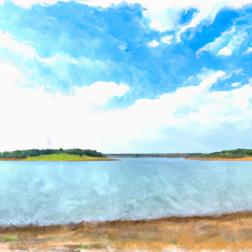
Lk Weatherford Nr Weatherford Reservoir Report
Last Updated: May 3, 2026
°F
°F
mph
Wind
%
Humidity
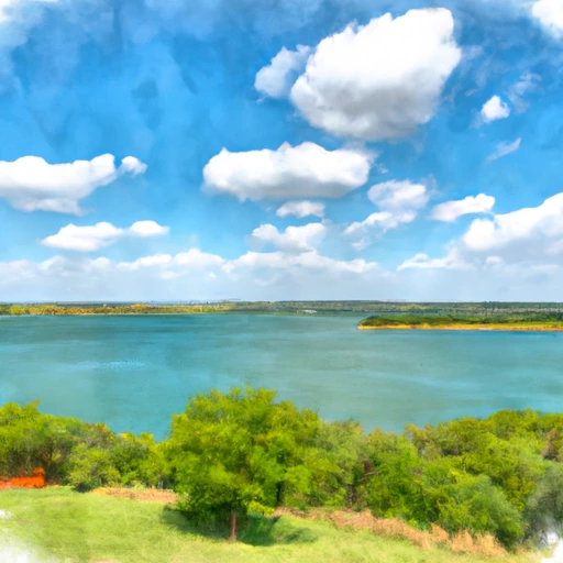
Lake Weatherford, located in Texas, is a man-made reservoir built in 1951.
Summary
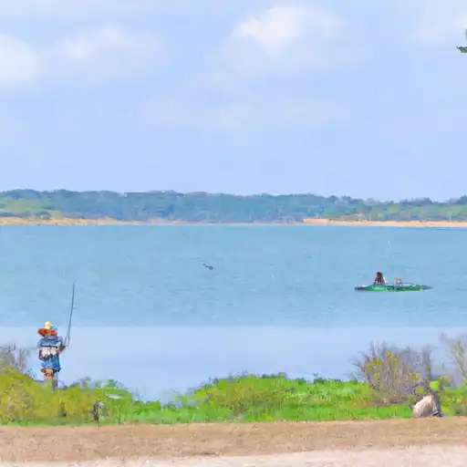
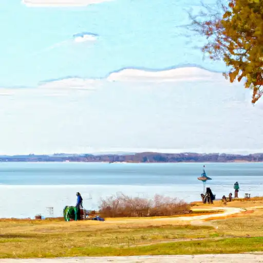
The lake serves as the primary water source for the city of Weatherford and is managed by the Brazos River Authority. Hydrologically, the lake's main source of water is from the Palo Pinto Creek, which can cause flooding during heavy rainfall events. The lake also supports recreational activities such as fishing, boating, and camping. Surface flow into Lake Weatherford is primarily from the creek, with snowpack contributing little to the lake's water levels due to the region's warm climate. The lake is also used as a source of irrigation for agricultural purposes, mainly for crops such as corn and wheat. Overall, Lake Weatherford plays a crucial role in the region's water supply and recreational activities.
Regional Streamflow Levels


15-Day Long Term Forecast
Reservoir Details
| Lake Or Reservoir Water Surface Elevation Above Ngvd 1929, Ft 24hr Change | 0.0% |
| Percent of Normal | 100% |
| Minimum |
886.87 ft
2014-11-04 |
| Maximum |
897.25 ft
2021-06-01 |
| Average | 893 ft |
Seasonal Comparison
Lake Or Reservoir Water Surface Elevation Above Ngvd 1929, Ft Levels
5-Day Hourly Forecast Detail
Dam Data Reference
Condition Assessment
SatisfactoryNo existing or potential dam safety deficiencies are recognized. Acceptable performance is expected under all loading conditions (static, hydrologic, seismic) in accordance with the minimum applicable state or federal regulatory criteria or tolerable risk guidelines.
Fair
No existing dam safety deficiencies are recognized for normal operating conditions. Rare or extreme hydrologic and/or seismic events may result in a dam safety deficiency. Risk may be in the range to take further action. Note: Rare or extreme event is defined by the regulatory agency based on their minimum
Poor A dam safety deficiency is recognized for normal operating conditions which may realistically occur. Remedial action is necessary. POOR may also be used when uncertainties exist as to critical analysis parameters which identify a potential dam safety deficiency. Investigations and studies are necessary.
Unsatisfactory
A dam safety deficiency is recognized that requires immediate or emergency remedial action for problem resolution.
Not Rated
The dam has not been inspected, is not under state or federal jurisdiction, or has been inspected but, for whatever reason, has not been rated.
Not Available
Dams for which the condition assessment is restricted to approved government users.
Hazard Potential Classification
HighDams assigned the high hazard potential classification are those where failure or mis-operation will probably cause loss of human life.
Significant
Dams assigned the significant hazard potential classification are those dams where failure or mis-operation results in no probable loss of human life but can cause economic loss, environment damage, disruption of lifeline facilities, or impact other concerns. Significant hazard potential classification dams are often located in predominantly rural or agricultural areas but could be in areas with population and significant infrastructure.
Low
Dams assigned the low hazard potential classification are those where failure or mis-operation results in no probable loss of human life and low economic and/or environmental losses. Losses are principally limited to the owner's property.
Undetermined
Dams for which a downstream hazard potential has not been designated or is not provided.
Not Available
Dams for which the downstream hazard potential is restricted to approved government users.
Area Campgrounds
| Location | Reservations | Toilets |
|---|---|---|
 Site: 001, Loop: Mustang Non Site Specific
|
||
 Site: GS, Loop: Mustang Point
|
||
 Live Oak
|
||
 Plateau
|
||
 Post Oak
|
||
 Hunter Park - Lake Granbury
|
Nearby Reservoirs
-
Lake Weatherford Dam
-
Moore Lake Dam
-
Clear Fork Trinity River Ws Scs Site 23 Dam
-
Clear Fork Trinity River Ws Scs Site 21 Dam
-
Clear Fork Trinity River Ws Scs Site 22a Dam
-
Clear Fork Trinity River Ws Scs Site 19 Dam
-
 Lk Weatherford Nr Weatherford
-
 Eagle Mtn Res Abv Ft Worth
-
 Lk Worth Abv Ft Worth
-
 Benbrook Lk Nr Benbrook
-
 Lk Mineral Wells Nr Mineral Wells
-
 Lk Granbury Nr Granbury
 Old Tin Top Road 1868-1998, Weatherford
 Eagle Mountain Lake
 Lake Mineral Wells
 Lake Granbury
 Lake Arlington
 Squaw Creek Reservoir