Scofield Reservoir Reservoir
As of July 23, 2026, Scofield Reservoir is holding 34,045 acre-ft of water — 83% of normal storage for this date. Storage data refreshed throughout the day.

Scofield Reservoir
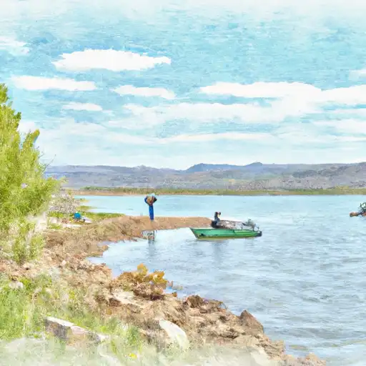
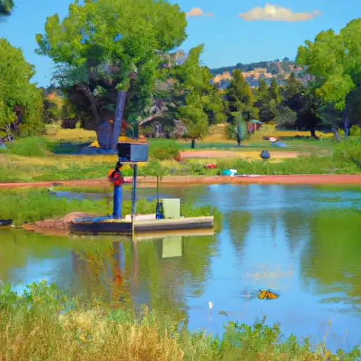
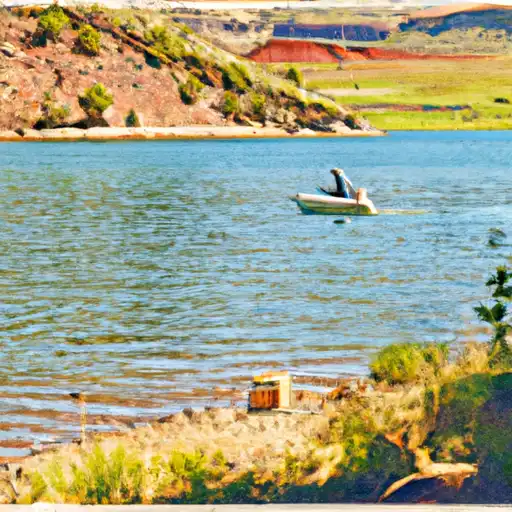
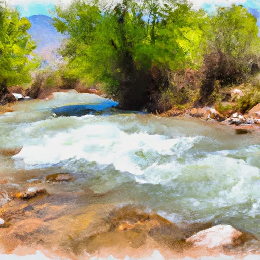
Scofield Reservoir is a man-made reservoir located in the central part of Utah. It was created in 1925 by the construction of a dam on the Price River, a tributary of the Green River. The reservoir has a capacity of 73,000 acre-feet and is used for irrigation, municipal water supply, and recreation. The hydrology of the reservoir is dependent on snowpack from the Wasatch Mountains and surface flow from the Price River. The reservoir is also fed by several small creeks and streams. Agricultural use of the water from Scofield Reservoir is limited, but it is an important source of water for the nearby towns of Scofield and Clear Creek. Recreation activities at the reservoir include boating, fishing, and camping. The reservoir is stocked with rainbow, cutthroat, and tiger trout, making it a popular destination for anglers.
Daily levels at Scofield Reservoir
Storage volume, pool elevation, and total release plotted from the operating agency's daily observations.
Storage
acre-ft · code 17
Inflow
cfs · code 29
Pool Elevation
ft · code 49
Total Release
cfs · code 42
Plan around the weather
Same NOAA / yr.no feed Snoflo's iOS app uses. Watch the precipitation column on the meteogram -- rain on the basin upstream typically lifts inflow 24-72 hours later.
Next 5 days, hour by hour
Temperature line with weather symbols on top, snow + rain accumulation as columns, humidity as a dotted line.
5-day forecast table
Every 3 hours, broken out across temperature, snow, rain, humidity, and wind. Each cell is colour-coded relative to the column min/max.
| Time | Condition | Temp (°F) | Snow (in) | Rain (in) | Humidity (%) | Wind (mps) | Wind dir |
|---|---|---|---|---|---|---|---|
| Loading detailed forecast… | |||||||
15-day temperature & precipitation
Daily temperatures, snow, and rain projected over the next two weeks.
Nearby streamflow gauges
USGS streamgauges around Scofield Reservoir -- inflows here typically show up in storage 24-72 hours later.
| Streamgauge | Discharge | View |
|---|---|---|
| White River Bl Tabbyune C Near Soldier Summit | · | → |
| Mud Creek Bl Winter Quarters Canyon At Scofield | 6 cfs | → |
| Fish Creek Above Reservoir | 9 cfs | → |
| Fairview Tunnel Near Fairview | 3 cfs | → |
| Diamond Fork Above Red Hollow | 40 cfs | → |
| Sixth Water Cr Ab Syar Tunnel | 24 cfs | → |


About Scofield Reservoir
Where does the data for Scofield Reservoir come from?
Daily storage, pool elevation, and release rates are sourced from USGS, USBR, and USACE monitoring stations. Weather forecast comes from NOAA / yr.no -- the same feed Snoflo's iOS app uses.
How often is the report updated?
Storage observations are updated daily by the operating agency. The 15-day weather forecast refreshes throughout the day. Snoflo caches and renders the most recent observation -- check the "as of" timestamp on the storage card.
What does the Hazard hazard rating mean?
The Corps of Engineers' hazard potential classification grades probable consequences if the dam fails: High = probable loss of human life; Significant = no probable loss of human life but possible economic loss / environmental damage; Low = no probable loss of human life, only minor economic / environmental losses. See the Dam Data Reference card below for the full definitions.
What's "% of normal"?
The current storage value compared to the historical average storage on this calendar day. 100% = right on average; values above 100% mean above-normal storage (wet year); values below mean below-normal (dry year or drought).
Can I get alerts when storage crosses a threshold?
Yes -- alerts are managed in the Snoflo iOS app. Favorite this reservoir, set a threshold, and you'll get a push the moment conditions cross.