Dugout Dam

Dugout
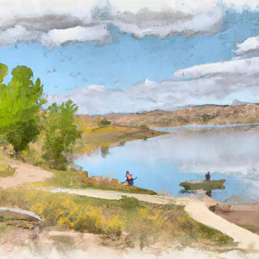
Dugout is a private irrigation structure located in San Juan, Utah, along Indian Creek. Managed by the Utah Division of Water Rights, this Earth dam was completed in 1967 and stands at a hydraulic height of 44 feet. With a storage capacity of 551 acre-feet and a drainage area of 70.5 square miles, Dugout serves the primary purpose of irrigation for the surrounding area.
Despite being classified as low hazard potential, Dugout undergoes regular inspections with a frequency of every 5 years to ensure its structural integrity. The last inspection was conducted in May 2016, with the condition assessment marked as 'Not Rated'. While the emergency action plan status and risk assessment details are not specified, the dam is equipped with outlet gates for controlled water release if necessary. Its location in a remote area with minimal associated structures further emphasizes its importance for local water resource management.
Enthusiasts of water resources and climate in the region can appreciate the role of Dugout in maintaining water supply for agricultural purposes in the arid landscape of Utah. The collaboration between private ownership and state regulation ensures the proper functioning and safety of the dam, highlighting the importance of sustainable water management practices in this ecologically diverse area. With its historical significance and ongoing maintenance efforts, Dugout stands as a testament to the intersection of water infrastructure and environmental stewardship in the region.
Plan around the weather
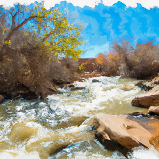
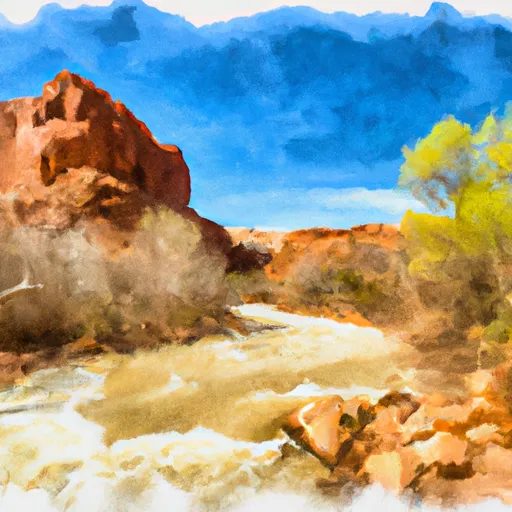
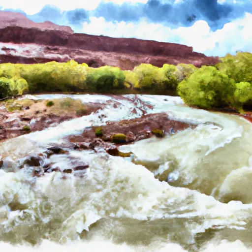
Same NOAA / yr.no feed Snoflo's iOS app uses. Watch the precipitation column on the meteogram -- rain on the basin upstream typically lifts inflow 24-72 hours later.
Next 5 days, hour by hour
Temperature line with weather symbols on top, snow + rain accumulation as columns, humidity as a dotted line.
5-day forecast table
Every 3 hours, broken out across temperature, snow, rain, humidity, and wind. Each cell is colour-coded relative to the column min/max.
| Time | Condition | Temp (°F) | Snow (in) | Rain (in) | Humidity (%) | Wind (mps) | Wind dir |
|---|---|---|---|---|---|---|---|
| Loading detailed forecast… | |||||||
15-day temperature & precipitation
Daily temperatures, snow, and rain projected over the next two weeks.
Nearby streamflow gauges
USGS streamgauges around Dugout -- inflows here typically show up in storage 24-72 hours later.
| Streamgauge | Discharge | View |
|---|---|---|
| South Creek Above Reservoir Near Monticello | 0 cfs | → |
| Recapture Creek Near Blanding | · | → |
| Mill Creek At Sheley Tunnel | 3 cfs | → |
| Mill Creek Below Sheley Tunnel | 3 cfs | → |
| Colorado River At Potash | 1,720 cfs | → |
| Mill Creek Blw Pack Creek Nr Mouth At Moab | 1 cfs | → |


About Dugout
Where does the data for Dugout come from?
Structural and regulatory data come from the U.S. Army Corps of Engineers' National Inventory of Dams (NID). Weather forecast comes from NOAA / yr.no -- the same feed Snoflo's iOS app uses.
How often is the report updated?
NID structural data refreshes annually as the Corps publishes updated assessments. The weather forecast refreshes throughout the day.
What does the Low hazard rating mean?
The Corps of Engineers' hazard potential classification grades probable consequences if the dam fails: High = probable loss of human life; Significant = no probable loss of human life but possible economic loss / environmental damage; Low = no probable loss of human life, only minor economic / environmental losses. See the Dam Data Reference card below for the full definitions.
What's "% of normal"?
The current storage value compared to the historical average storage on this calendar day. 100% = right on average; values above 100% mean above-normal storage (wet year); values below mean below-normal (dry year or drought).
Can I get alerts when storage crosses a threshold?
Yes -- alerts are managed in the Snoflo iOS app. Favorite this dam, set a threshold, and you'll get a push the moment conditions cross.
Dam data reference
Condition Assessment
- Satisfactory
- No existing or potential dam safety deficiencies are recognized. Acceptable performance is expected under all loading conditions (static, hydrologic, seismic) in accordance with the minimum applicable state or federal regulatory criteria or tolerable risk guidelines.
- Fair
- No existing dam safety deficiencies are recognized for normal operating conditions. Rare or extreme hydrologic and/or seismic events may result in a dam safety deficiency. Risk may be in the range to take further action.
- Poor
- A dam safety deficiency is recognized for normal operating conditions which may realistically occur. Remedial action is necessary. POOR may also be used when uncertainties exist as to critical analysis parameters which identify a potential dam safety deficiency.
- Unsatisfactory
- A dam safety deficiency is recognized that requires immediate or emergency remedial action for problem resolution.
- Not Rated
- The dam has not been inspected, is not under state or federal jurisdiction, or has been inspected but, for whatever reason, has not been rated.
Hazard Potential Classification
- High
- Dams assigned the high hazard potential classification are those where failure or mis-operation will probably cause loss of human life.
- Significant
- Dams assigned the significant hazard potential classification are those dams where failure or mis-operation results in no probable loss of human life but can cause economic loss, environmental damage, disruption of lifeline facilities, or impact other concerns. Significant hazard potential classification dams are often located in predominantly rural or agricultural areas but could be in areas with population and significant infrastructure.
- Low
- Dams assigned the low hazard potential classification are those where failure or mis-operation results in no probable loss of human life and low economic and/or environmental losses. Losses are principally limited to the owner's property.
- Undetermined
- Dams for which a downstream hazard potential has not been designated or is not provided.