Silver Springs No. 1 Reservoir Report
Last Updated: February 11, 2026
Silver Springs No.
Summary
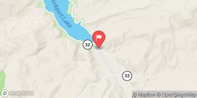
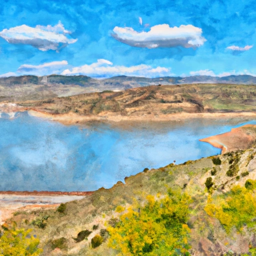
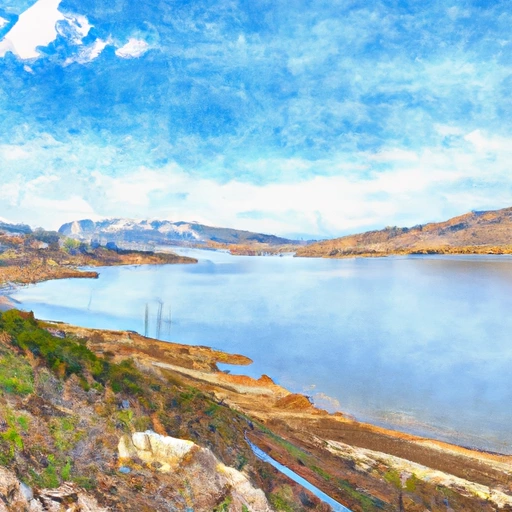
1 is a private water resource in Utah, specifically in Summit County, with a primary purpose of irrigation. Designed by JACK JOHNSON AND ASSOC, this Earth dam stands at a structural height of 13 feet and has a hydraulic height of 10 feet. Completed in 1980, this dam has a storage capacity of 160 acre-feet, with a normal storage level of 110 acre-feet. The dam is situated near the Willow Draw stream, and its spillway width measures 12 feet.
This significant structure has been regulated, inspected, and enforced by the Utah Division of Water Rights, ensuring its operational safety and compliance. The dam's hazard potential is classified as significant, with a biennial inspection frequency. While the condition assessment is currently marked as "Not Rated," the dam's emergency action plan status and risk assessment details are yet to be determined. Despite not being owned or funded by federal agencies, Silver Springs No. 1 plays a crucial role in water management and irrigation within the local community.
Water resource and climate enthusiasts will find Silver Springs No. 1's data intriguing, showcasing the meticulous design and operational oversight that goes into managing essential water infrastructure. With its location in a condominium development in Utah, this dam serves as a vital resource for irrigation purposes in the region. The details provided offer a glimpse into the engineering and regulatory aspects of maintaining a crucial water structure, highlighting the intersection of human ingenuity and environmental stewardship in water management.
°F
°F
mph
Wind
%
Humidity
15-Day Weather Outlook
Year Completed |
1980 |
Dam Length |
1431 |
River Or Stream |
WILLOW DRAW ?? |
Primary Dam Type |
Earth |
Hydraulic Height |
10 |
Drainage Area |
0.4 |
Nid Storage |
160 |
Structural Height |
13 |
Hazard Potential |
Significant |
Foundations |
Soil |
Nid Height |
13 |
Seasonal Comparison
5-Day Hourly Forecast Detail
Nearby Streamflow Levels
Dam Data Reference
Condition Assessment
SatisfactoryNo existing or potential dam safety deficiencies are recognized. Acceptable performance is expected under all loading conditions (static, hydrologic, seismic) in accordance with the minimum applicable state or federal regulatory criteria or tolerable risk guidelines.
Fair
No existing dam safety deficiencies are recognized for normal operating conditions. Rare or extreme hydrologic and/or seismic events may result in a dam safety deficiency. Risk may be in the range to take further action. Note: Rare or extreme event is defined by the regulatory agency based on their minimum
Poor A dam safety deficiency is recognized for normal operating conditions which may realistically occur. Remedial action is necessary. POOR may also be used when uncertainties exist as to critical analysis parameters which identify a potential dam safety deficiency. Investigations and studies are necessary.
Unsatisfactory
A dam safety deficiency is recognized that requires immediate or emergency remedial action for problem resolution.
Not Rated
The dam has not been inspected, is not under state or federal jurisdiction, or has been inspected but, for whatever reason, has not been rated.
Not Available
Dams for which the condition assessment is restricted to approved government users.
Hazard Potential Classification
HighDams assigned the high hazard potential classification are those where failure or mis-operation will probably cause loss of human life.
Significant
Dams assigned the significant hazard potential classification are those dams where failure or mis-operation results in no probable loss of human life but can cause economic loss, environment damage, disruption of lifeline facilities, or impact other concerns. Significant hazard potential classification dams are often located in predominantly rural or agricultural areas but could be in areas with population and significant infrastructure.
Low
Dams assigned the low hazard potential classification are those where failure or mis-operation results in no probable loss of human life and low economic and/or environmental losses. Losses are principally limited to the owner's property.
Undetermined
Dams for which a downstream hazard potential has not been designated or is not provided.
Not Available
Dams for which the downstream hazard potential is restricted to approved government users.
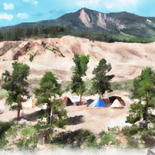
Area Campgrounds
| Location | Reservations | Toilets |
|---|---|---|
 Spruces
|
||
 Spruces Campground
|
||
 Redman Campground-SLRD
|
||
 Redman
|
||
 Jordan Pines Group Campground
|
||
 Camp Cloud Rim
|


 Silver Springs No. 1
 Rockport Reservoir
 Jordanelle Reservoir
 Middle Provo (Jordanelle to Deer Creek)
 Lake Desolation
 Silver Lake
 Lake Solitude
 Lake Martha
 Mill Canyon Fishing Dock and Boardwalk