Richards Reservoir Report
Nearby: Marshfield No. 6 Bailey Pond
Last Updated: February 22, 2026
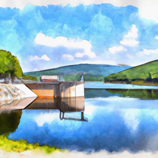
Richards is a privately owned dam located in Marshfield, Vermont, along the Winooski River.
Summary
Constructed in 1969 by the USDA NRCS, this earth dam serves primarily for recreation purposes and stands at a height of 15 feet with a length of 235 feet. It has a storage capacity of 115 acre-feet and covers a surface area of 16 acres, with a drainage area of 1.07 square miles.
The dam is regulated by the Vermont Department of Environmental Conservation and undergoes regular inspections, with its last assessment conducted in November 2020, resulting in a satisfactory condition assessment. Despite its significant hazard potential, the risk assessment for Richards is moderate, with emergency action plans and inundation maps yet to be prepared. With a spillway type classified as uncontrolled, the dam's risk management measures and potential risk characterization require further attention to ensure the safety of the surrounding community and environment.
Richards' location within the New England District and its impact on the local ecosystem and community make it a crucial focal point for water resource and climate enthusiasts. As efforts continue to enhance the dam's safety and resilience, its significance in the region's water management and recreational activities underscores the importance of sustainable infrastructure development and proactive risk mitigation strategies.
°F
°F
mph
Wind
%
Humidity
15-Day Weather Outlook
Year Completed |
1969 |
Dam Length |
235 |
Dam Height |
11 |
River Or Stream |
WINOOSKI RIVER-TR |
Primary Dam Type |
Earth |
Surface Area |
16 |
Hydraulic Height |
11 |
Drainage Area |
1.07 |
Nid Storage |
115 |
Structural Height |
15 |
Hazard Potential |
Significant |
Foundations |
Soil |
Nid Height |
15 |
Seasonal Comparison
5-Day Hourly Forecast Detail
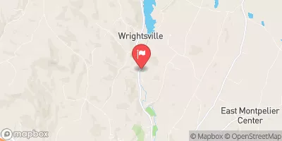
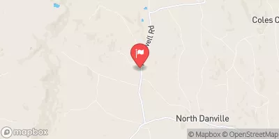
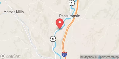
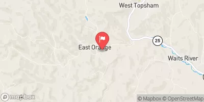
Nearby Streamflow Levels
Dam Data Reference
Condition Assessment
SatisfactoryNo existing or potential dam safety deficiencies are recognized. Acceptable performance is expected under all loading conditions (static, hydrologic, seismic) in accordance with the minimum applicable state or federal regulatory criteria or tolerable risk guidelines.
Fair
No existing dam safety deficiencies are recognized for normal operating conditions. Rare or extreme hydrologic and/or seismic events may result in a dam safety deficiency. Risk may be in the range to take further action. Note: Rare or extreme event is defined by the regulatory agency based on their minimum
Poor A dam safety deficiency is recognized for normal operating conditions which may realistically occur. Remedial action is necessary. POOR may also be used when uncertainties exist as to critical analysis parameters which identify a potential dam safety deficiency. Investigations and studies are necessary.
Unsatisfactory
A dam safety deficiency is recognized that requires immediate or emergency remedial action for problem resolution.
Not Rated
The dam has not been inspected, is not under state or federal jurisdiction, or has been inspected but, for whatever reason, has not been rated.
Not Available
Dams for which the condition assessment is restricted to approved government users.
Hazard Potential Classification
HighDams assigned the high hazard potential classification are those where failure or mis-operation will probably cause loss of human life.
Significant
Dams assigned the significant hazard potential classification are those dams where failure or mis-operation results in no probable loss of human life but can cause economic loss, environment damage, disruption of lifeline facilities, or impact other concerns. Significant hazard potential classification dams are often located in predominantly rural or agricultural areas but could be in areas with population and significant infrastructure.
Low
Dams assigned the low hazard potential classification are those where failure or mis-operation results in no probable loss of human life and low economic and/or environmental losses. Losses are principally limited to the owner's property.
Undetermined
Dams for which a downstream hazard potential has not been designated or is not provided.
Not Available
Dams for which the downstream hazard potential is restricted to approved government users.
Area Campgrounds
| Location | Reservations | Toilets |
|---|---|---|
 New Discovery State Park
|
||
 Big Deer State Park
|
||
 Stillwater State Park
|
||
 Ricker Pond State Park
|
||
 Sugar Ridge RV Resort
|



 Richards
 Wrightsville Detention Reservoir @ Wrightsville Vt
 Molly's Pond Boat Launch