Noyes Pond Reservoir Report
Nearby: Lake Groton Ricker Pond
Last Updated: February 22, 2026
Noyes Pond, also known as Seyon Dam, is a captivating water resource located in Groton, Vermont.
Summary
This state-regulated concrete dam was designed by Howard M. Turner and completed in 1934. With a height of 17 feet and a structural height of 23 feet, Noyes Pond serves primarily for recreational purposes, offering a serene and picturesque setting for visitors to enjoy.
The dam boasts a storage capacity of 350 acre-feet and covers a surface area of 39 acres, drawing water from the South Branch Wells River. With a drainage area of 3.76 square miles, Noyes Pond provides a vital source of water in the region. Despite its significant hazard potential, the dam is currently assessed to be in fair condition as of May 2017, with inspection frequency set at every 3 years to ensure its continued safety and functionality.
Surrounded by the stunning natural beauty of Caledonia County, Noyes Pond offers a unique opportunity for water resource and climate enthusiasts to explore the intersection of human engineering and environmental sustainability. Its rich history, scenic surroundings, and recreational amenities make it a must-visit destination for those seeking to appreciate the intricate relationship between water resources and climate dynamics in Vermont.
°F
°F
mph
Wind
%
Humidity
15-Day Weather Outlook
Year Completed |
1934 |
Dam Length |
453 |
Dam Height |
17 |
River Or Stream |
SOUTH BRANCH WELLS RIVER |
Primary Dam Type |
Concrete |
Surface Area |
39 |
Hydraulic Height |
17 |
Drainage Area |
3.76 |
Nid Storage |
350 |
Structural Height |
23 |
Hazard Potential |
Significant |
Foundations |
Rock, Soil |
Nid Height |
23 |
Seasonal Comparison
5-Day Hourly Forecast Detail
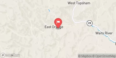
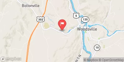
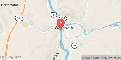
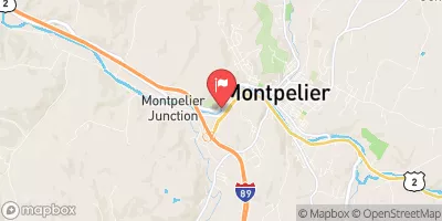
Nearby Streamflow Levels
Dam Data Reference
Condition Assessment
SatisfactoryNo existing or potential dam safety deficiencies are recognized. Acceptable performance is expected under all loading conditions (static, hydrologic, seismic) in accordance with the minimum applicable state or federal regulatory criteria or tolerable risk guidelines.
Fair
No existing dam safety deficiencies are recognized for normal operating conditions. Rare or extreme hydrologic and/or seismic events may result in a dam safety deficiency. Risk may be in the range to take further action. Note: Rare or extreme event is defined by the regulatory agency based on their minimum
Poor A dam safety deficiency is recognized for normal operating conditions which may realistically occur. Remedial action is necessary. POOR may also be used when uncertainties exist as to critical analysis parameters which identify a potential dam safety deficiency. Investigations and studies are necessary.
Unsatisfactory
A dam safety deficiency is recognized that requires immediate or emergency remedial action for problem resolution.
Not Rated
The dam has not been inspected, is not under state or federal jurisdiction, or has been inspected but, for whatever reason, has not been rated.
Not Available
Dams for which the condition assessment is restricted to approved government users.
Hazard Potential Classification
HighDams assigned the high hazard potential classification are those where failure or mis-operation will probably cause loss of human life.
Significant
Dams assigned the significant hazard potential classification are those dams where failure or mis-operation results in no probable loss of human life but can cause economic loss, environment damage, disruption of lifeline facilities, or impact other concerns. Significant hazard potential classification dams are often located in predominantly rural or agricultural areas but could be in areas with population and significant infrastructure.
Low
Dams assigned the low hazard potential classification are those where failure or mis-operation results in no probable loss of human life and low economic and/or environmental losses. Losses are principally limited to the owner's property.
Undetermined
Dams for which a downstream hazard potential has not been designated or is not provided.
Not Available
Dams for which the downstream hazard potential is restricted to approved government users.
Area Campgrounds
| Location | Reservations | Toilets |
|---|---|---|
 Ricker Pond State Park
|
||
 Stillwater State Park
|
||
 Big Deer State Park
|
||
 New Discovery State Park
|

 Noyes Pond
 East Barre Detention Reservoir At East Barre
 Camp Road Peacham