Bethel Mills Reservoir Report
Nearby: Lake John Lake Casper
Last Updated: February 26, 2026
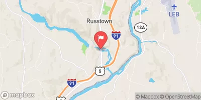
Bethel Mills, a private hydroelectric dam located in Bethel, Vermont, harnesses the power of the Third Branch White River for energy production.
Summary
Constructed in 1941 by designer Ray Durfee, this concrete gravity dam stands at a height of 17 feet and has a hydraulic height of 15 feet. With a storage capacity of 51 acre-feet and a drainage area of 137.97 square miles, Bethel Mills plays a crucial role in the local water resource management system.
Despite its age, Bethel Mills has a low hazard potential and has not been rated for its current condition. The dam, with a length of 150 feet and surface area of 10 acres, serves as a key infrastructure for the surrounding area. However, it has not been subject to recent inspections or maintenance, as the last inspection was carried out in May 1999. With no state regulation or permitting in place, Bethel Mills operates independently for hydroelectric purposes.
Although Bethel Mills has not been updated or modified in recent years, its contribution to the local energy supply and water management cannot be understated. As a historic dam that has stood the test of time, Bethel Mills continues to provide renewable energy and environmental benefits for the community. Its location within the picturesque Windsor County, Vermont, makes it a significant landmark for water resource and climate enthusiasts to appreciate and learn from.
°F
°F
mph
Wind
%
Humidity
15-Day Weather Outlook
Year Completed |
1941 |
Dam Length |
150 |
Dam Height |
17 |
River Or Stream |
THIRD BRANCH WHITE RIVER |
Primary Dam Type |
Concrete |
Surface Area |
10 |
Hydraulic Height |
15 |
Drainage Area |
137.97 |
Nid Storage |
51 |
Structural Height |
15 |
Hazard Potential |
Low |
Foundations |
Rock |
Nid Height |
17 |
Seasonal Comparison
5-Day Hourly Forecast Detail
Nearby Streamflow Levels
Dam Data Reference
Condition Assessment
SatisfactoryNo existing or potential dam safety deficiencies are recognized. Acceptable performance is expected under all loading conditions (static, hydrologic, seismic) in accordance with the minimum applicable state or federal regulatory criteria or tolerable risk guidelines.
Fair
No existing dam safety deficiencies are recognized for normal operating conditions. Rare or extreme hydrologic and/or seismic events may result in a dam safety deficiency. Risk may be in the range to take further action. Note: Rare or extreme event is defined by the regulatory agency based on their minimum
Poor A dam safety deficiency is recognized for normal operating conditions which may realistically occur. Remedial action is necessary. POOR may also be used when uncertainties exist as to critical analysis parameters which identify a potential dam safety deficiency. Investigations and studies are necessary.
Unsatisfactory
A dam safety deficiency is recognized that requires immediate or emergency remedial action for problem resolution.
Not Rated
The dam has not been inspected, is not under state or federal jurisdiction, or has been inspected but, for whatever reason, has not been rated.
Not Available
Dams for which the condition assessment is restricted to approved government users.
Hazard Potential Classification
HighDams assigned the high hazard potential classification are those where failure or mis-operation will probably cause loss of human life.
Significant
Dams assigned the significant hazard potential classification are those dams where failure or mis-operation results in no probable loss of human life but can cause economic loss, environment damage, disruption of lifeline facilities, or impact other concerns. Significant hazard potential classification dams are often located in predominantly rural or agricultural areas but could be in areas with population and significant infrastructure.
Low
Dams assigned the low hazard potential classification are those where failure or mis-operation results in no probable loss of human life and low economic and/or environmental losses. Losses are principally limited to the owner's property.
Undetermined
Dams for which a downstream hazard potential has not been designated or is not provided.
Not Available
Dams for which the downstream hazard potential is restricted to approved government users.

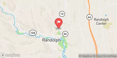
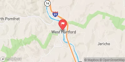
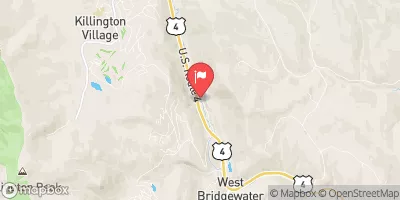
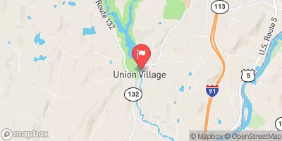

 Bethel Mills
 Source Above Fr 55 To Proclamation Boundary (Stony Brook)