


Mayo Lake Dam Reservoir Report
Last Updated: May 2, 2026
°F
°F
mph
Wind
%
Humidity
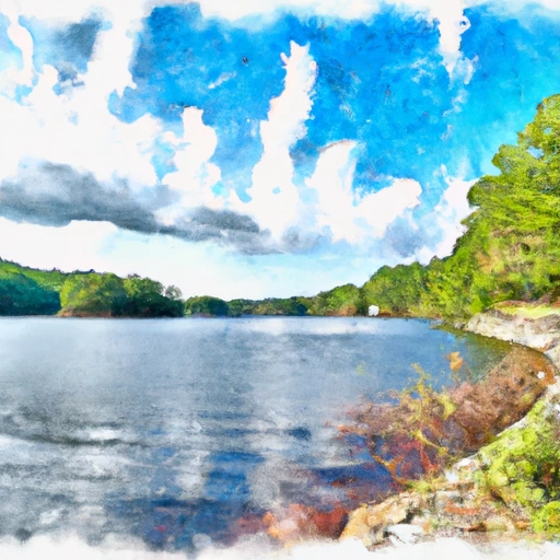
Mayo Lake Dam, located in Person County, North Carolina, serves as a crucial flood risk reduction structure along the Mayo Creek.
Summary
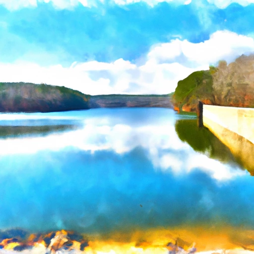
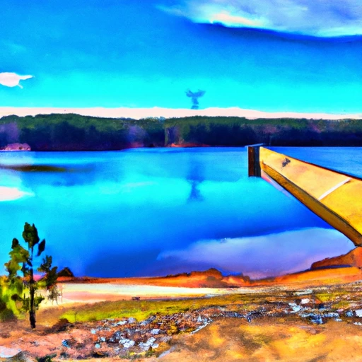
This public utility dam is regulated by the NC Department of Environmental Quality's Dam Safety Program, ensuring its safety and compliance with state regulations. With a hydraulic height of 83 feet and a structural height of 100 feet, Mayo Lake Dam provides a maximum storage capacity of 142,000 acre-feet and a normal storage capacity of 88,000 acre-feet over a surface area of 2,800 acres.
The dam, constructed with earth materials, spans a length of 2,600 feet and has a high hazard potential rating. Despite this, a recent inspection in September 2020 deemed the dam's condition as satisfactory, with an established emergency action plan in place. With a maximum discharge capacity of 66,100 cubic feet per second, Mayo Lake Dam plays a critical role in protecting the surrounding area from potential flooding events. Enthusiasts of water resources and climate management can appreciate the vital role Mayo Lake Dam plays in safeguarding the local community and environment from the impacts of extreme weather events.
As a significant flood risk reduction infrastructure in North Carolina, Mayo Lake Dam stands as a testament to effective dam management and regulatory oversight. With its strategic location and high hazard potential, the dam's satisfactory condition and robust emergency preparedness underscore the importance of proactive risk management in ensuring the safety and resilience of water resource systems. Mayo Lake Dam serves as a symbol of the ongoing efforts to balance water resource utilization with environmental conservation, making it a compelling subject for enthusiasts interested in sustainable water management practices and climate adaptation strategies.
Regional Streamflow Levels
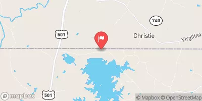 Mayo Cr Nr Bethel Hill
|
4cfs |
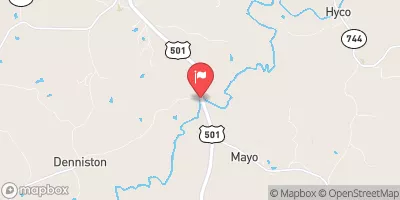 Hyco River Near Denniston
|
143cfs |
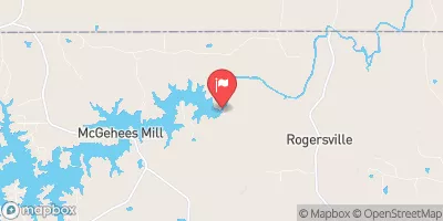 Hyco R Bl Abay D Nr Mcgehees Mill
|
4cfs |
 Dan River At South Boston
|
922cfs |
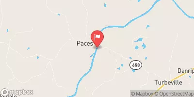 Dan River At Paces
|
1130cfs |
 Banister River At Halifax
|
127cfs |
15-Day Long Term Forecast
Dam Length |
2600 |
River Or Stream |
Mayo Creek |
Primary Dam Type |
Earth |
Surface Area |
2800 |
Hydraulic Height |
83 |
Drainage Area |
54 |
Nid Storage |
142000 |
Structural Height |
100 |
Hazard Potential |
High |
Nid Height |
100 |
Seasonal Comparison
5-Day Hourly Forecast Detail
Dam Data Reference
Condition Assessment
SatisfactoryNo existing or potential dam safety deficiencies are recognized. Acceptable performance is expected under all loading conditions (static, hydrologic, seismic) in accordance with the minimum applicable state or federal regulatory criteria or tolerable risk guidelines.
Fair
No existing dam safety deficiencies are recognized for normal operating conditions. Rare or extreme hydrologic and/or seismic events may result in a dam safety deficiency. Risk may be in the range to take further action. Note: Rare or extreme event is defined by the regulatory agency based on their minimum
Poor A dam safety deficiency is recognized for normal operating conditions which may realistically occur. Remedial action is necessary. POOR may also be used when uncertainties exist as to critical analysis parameters which identify a potential dam safety deficiency. Investigations and studies are necessary.
Unsatisfactory
A dam safety deficiency is recognized that requires immediate or emergency remedial action for problem resolution.
Not Rated
The dam has not been inspected, is not under state or federal jurisdiction, or has been inspected but, for whatever reason, has not been rated.
Not Available
Dams for which the condition assessment is restricted to approved government users.
Hazard Potential Classification
HighDams assigned the high hazard potential classification are those where failure or mis-operation will probably cause loss of human life.
Significant
Dams assigned the significant hazard potential classification are those dams where failure or mis-operation results in no probable loss of human life but can cause economic loss, environment damage, disruption of lifeline facilities, or impact other concerns. Significant hazard potential classification dams are often located in predominantly rural or agricultural areas but could be in areas with population and significant infrastructure.
Low
Dams assigned the low hazard potential classification are those where failure or mis-operation results in no probable loss of human life and low economic and/or environmental losses. Losses are principally limited to the owner's property.
Undetermined
Dams for which a downstream hazard potential has not been designated or is not provided.
Not Available
Dams for which the downstream hazard potential is restricted to approved government users.
 Staunton River State Park
 Buffalo Landing - Kerr Reservoir
 Longwood Rec Area - Kerr Reservoir
 Occoneechee State Park
 Equestrian Campground
 Ivy Hill Rec Area - Kerr Reservoir
 Afterbay Reservoir At Dam Nr Mcgehees Mill
 Hyco Lake At Dam Nr Roxboro
 Falls Lake Above Dam Nr Falls
 Neal's Store Road 854, Roxboro
 Buckwater Creek
 Falls of the Neuse Reservoir
 Beaverdam Creek
 Boyds Creek
 Back Creek