


Johns Creek Dam #4 Reservoir Report
Last Updated: May 11, 2026
Nearby: Johns Creek Dam #3 Johns Creek Dam #2
°F
°F
mph
Wind
%
Humidity
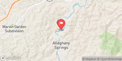
Johns Creek Dam #4, also known as Dicks Creek Lake, is a crucial structure owned by the local government in Craig, Virginia.
Summary
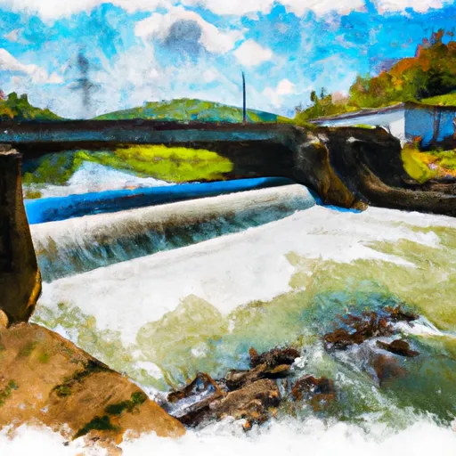
This dam, regulated by the Department of Conservation and Recreation, serves the primary purpose of flood risk reduction along the Dicks Creek river. With a height of 55 feet and a length of 830 feet, this earth dam provides a storage capacity of 1022 acre-feet and covers a surface area of 11.7 acres.
Located within the Norfolk District, Johns Creek Dam #4 has a high hazard potential but is currently assessed to be in fair condition as of the last inspection in April 2020. The dam has a maximum storage capacity of 1022 acre-feet, with a normal storage level of 65 acre-feet. While no spillway type or width is specified, the dam's hydraulic height matches its structural height at 55 feet, indicating a well-built structure for flood risk management in the region.
Enthusiasts of water resources and climate change will find Johns Creek Dam #4 to be a significant asset in mitigating flood risks in the area. With its strategic location and regulated status, this dam plays a vital role in protecting the surrounding communities from potential inundation events. Monitoring the condition and maintenance of this dam will be crucial in ensuring its continued effectiveness in flood risk reduction efforts.
Regional Streamflow Levels
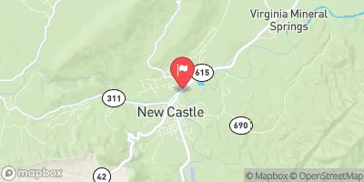 Johns Creek At New Castle
|
26cfs |
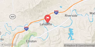 Roanoke River At Lafayette
|
64cfs |
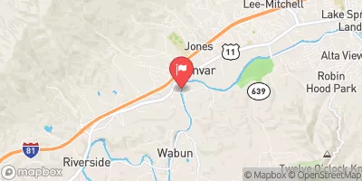 Roanoke River At Glenvar
|
70cfs |
 Catawba Creek Near Catawba
|
4cfs |
 S F Roanoke River Near Shawsville
|
30cfs |
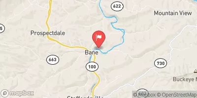 Walker Creek At Bane
|
59cfs |
15-Day Long Term Forecast
Dam Length |
830 |
Dam Height |
55 |
River Or Stream |
DICKS CREEK |
Primary Dam Type |
Earth |
Surface Area |
11.7 |
Hydraulic Height |
55 |
Drainage Area |
5.7 |
Nid Storage |
1022 |
Structural Height |
55 |
Hazard Potential |
High |
Nid Height |
55 |
Seasonal Comparison
5-Day Hourly Forecast Detail
Dam Data Reference
Condition Assessment
SatisfactoryNo existing or potential dam safety deficiencies are recognized. Acceptable performance is expected under all loading conditions (static, hydrologic, seismic) in accordance with the minimum applicable state or federal regulatory criteria or tolerable risk guidelines.
Fair
No existing dam safety deficiencies are recognized for normal operating conditions. Rare or extreme hydrologic and/or seismic events may result in a dam safety deficiency. Risk may be in the range to take further action. Note: Rare or extreme event is defined by the regulatory agency based on their minimum
Poor A dam safety deficiency is recognized for normal operating conditions which may realistically occur. Remedial action is necessary. POOR may also be used when uncertainties exist as to critical analysis parameters which identify a potential dam safety deficiency. Investigations and studies are necessary.
Unsatisfactory
A dam safety deficiency is recognized that requires immediate or emergency remedial action for problem resolution.
Not Rated
The dam has not been inspected, is not under state or federal jurisdiction, or has been inspected but, for whatever reason, has not been rated.
Not Available
Dams for which the condition assessment is restricted to approved government users.
Hazard Potential Classification
HighDams assigned the high hazard potential classification are those where failure or mis-operation will probably cause loss of human life.
Significant
Dams assigned the significant hazard potential classification are those dams where failure or mis-operation results in no probable loss of human life but can cause economic loss, environment damage, disruption of lifeline facilities, or impact other concerns. Significant hazard potential classification dams are often located in predominantly rural or agricultural areas but could be in areas with population and significant infrastructure.
Low
Dams assigned the low hazard potential classification are those where failure or mis-operation results in no probable loss of human life and low economic and/or environmental losses. Losses are principally limited to the owner's property.
Undetermined
Dams for which a downstream hazard potential has not been designated or is not provided.
Not Available
Dams for which the downstream hazard potential is restricted to approved government users.
Area Campgrounds
| Location | Reservations | Toilets |
|---|---|---|
 White Rocks
|
||
 White Rocks Campground
|
||
 Caldwell Fields Group Camping Area
|
||
 Caldwell Fields Group Campground
|
||
 Camp Tuk-A-Way
|
||
 Moncove Lake State Park
|
 Dry Creek At Tuckahoe
 Little River Reservoir Near Radford
 Middle Fork Brush Creek At Edison
 Philpott Res At Philpott Dam Nr Philpott
 Whitethorne Road 5269, Montgomery County
River Runs
-
 Jefferson Nf Boundary Near Confluence With Nettle Hollow To Confluence With Laurel Branch
-
 Jefferson Nf Boundary (Above Cascades Fall) To Jefferson Nf Boundary (Below Cascades Fall)
-
 The U.S. Route 460 Bridge In Glen Lyn, Virginia To The Maximum Summer Pool Elevation Of Bluestone Lake, South Of Hinton, West Virginia
-
 Bluestone Dam to Sandstone
-
 Bluestone Dam To Gauley Bridge
-
 Segment D--Gathright Dam To State Route 687 Bridge At Clearwater Park