


Fond Du Lac Reservoir Report
Last Updated: April 29, 2026
°F
°F
mph
Wind
%
Humidity
Fond Du Lac in Duluth, Minnesota, is a hydroelectric dam that has been serving as a vital water resource facility since its completion in 1924.
Summary
With a dam height of 80 feet and a hydraulic height of 73 feet, Fond Du Lac stands as a key structure on the St. Louis River, with a storage capacity of 2,675 acre-feet and a maximum discharge of 181,000 cubic feet per second. The dam's primary purpose is hydroelectric power generation, and it is regulated by the Federal Energy Regulatory Commission.
Despite its age, Fond Du Lac remains a crucial component of the region's water management infrastructure, with a controlled spillway width of 480 feet and a surface area of 160 acres. The dam has a high hazard potential and a very high risk assessment rating, emphasizing the importance of regular inspections and maintenance. The facility is inspected annually by state regulatory agencies and the Federal Energy Regulatory Commission to ensure its structural integrity and compliance with safety standards.
Fond Du Lac's association with the St. Paul District of the US Army Corps of Engineers highlights its significance in the region's water resource management. The dam's impressive engineering features, such as arch, earth, and gravity dam types, contribute to its ability to provide reliable hydroelectric power and water storage for the surrounding area. As climate change continues to impact water resources, facilities like Fond Du Lac play a critical role in ensuring water security and resilience in the face of changing environmental conditions.
Regional Streamflow Levels
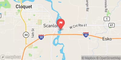 St. Louis River At Scanlon
|
13400cfs |
 Nemadji River Near South Superior
|
4910cfs |
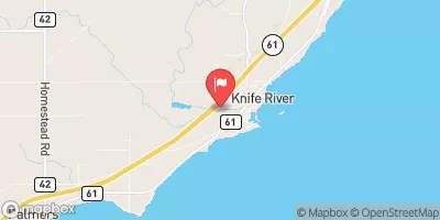 Knife River Near Two Harbors
|
782cfs |
 Bois Brule River At Brule
|
468cfs |
 St. Croix River Near Danbury
|
4170cfs |
 Kettle River Below Sandstone
|
2940cfs |
15-Day Long Term Forecast
Year Completed |
1924 |
Dam Length |
1475 |
Dam Height |
80 |
River Or Stream |
St Louis River |
Surface Area |
160 |
Hydraulic Height |
73 |
Drainage Area |
3600 |
Nid Storage |
2675 |
Structural Height |
78 |
Outlet Gates |
Slide (sluice gate) - 1, Tainter (radial) - 16 |
Hazard Potential |
High |
Nid Height |
80 |
Seasonal Comparison
5-Day Hourly Forecast Detail
Dam Data Reference
Condition Assessment
SatisfactoryNo existing or potential dam safety deficiencies are recognized. Acceptable performance is expected under all loading conditions (static, hydrologic, seismic) in accordance with the minimum applicable state or federal regulatory criteria or tolerable risk guidelines.
Fair
No existing dam safety deficiencies are recognized for normal operating conditions. Rare or extreme hydrologic and/or seismic events may result in a dam safety deficiency. Risk may be in the range to take further action. Note: Rare or extreme event is defined by the regulatory agency based on their minimum
Poor A dam safety deficiency is recognized for normal operating conditions which may realistically occur. Remedial action is necessary. POOR may also be used when uncertainties exist as to critical analysis parameters which identify a potential dam safety deficiency. Investigations and studies are necessary.
Unsatisfactory
A dam safety deficiency is recognized that requires immediate or emergency remedial action for problem resolution.
Not Rated
The dam has not been inspected, is not under state or federal jurisdiction, or has been inspected but, for whatever reason, has not been rated.
Not Available
Dams for which the condition assessment is restricted to approved government users.
Hazard Potential Classification
HighDams assigned the high hazard potential classification are those where failure or mis-operation will probably cause loss of human life.
Significant
Dams assigned the significant hazard potential classification are those dams where failure or mis-operation results in no probable loss of human life but can cause economic loss, environment damage, disruption of lifeline facilities, or impact other concerns. Significant hazard potential classification dams are often located in predominantly rural or agricultural areas but could be in areas with population and significant infrastructure.
Low
Dams assigned the low hazard potential classification are those where failure or mis-operation results in no probable loss of human life and low economic and/or environmental losses. Losses are principally limited to the owner's property.
Undetermined
Dams for which a downstream hazard potential has not been designated or is not provided.
Not Available
Dams for which the downstream hazard potential is restricted to approved government users.
 Lost Lake Backpack Campsite
 Ash Ridge Backpack Campsite
 High Landing Backpack Campsite
 Jay Cooke State Park
 Silver Creek Backpack Campsite
 Spafford City Park Campground
 Saint Louis River -- Oliver - Sajac Memorial Park Access
 Upper Saint Louis