Kovach Dam

Kovach
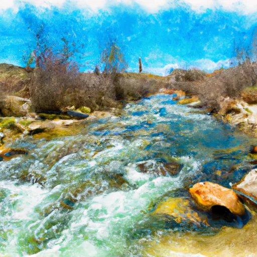
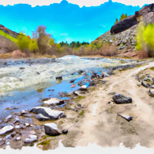
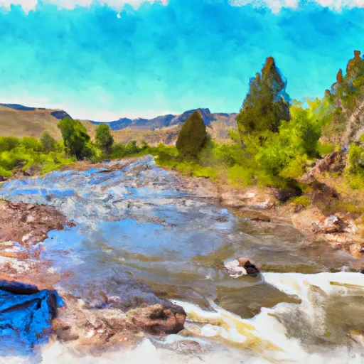
Kovach is a private-owned water resource structure located in Lincoln, Wyoming, specifically on the North Quealy Peak Draw. Built in 1988 by designer Gerald L. Jesser, this earth-type dam serves multiple purposes including fire protection, stock maintenance, and small fish pond creation. With a height of 16 feet and a hydraulic height of 13 feet, Kovach has a storage capacity of 89 acre-feet and a surface area of 37 acres, making it a vital asset for the local ecosystem.
Despite its importance, Kovach is currently in poor condition and has a low hazard potential according to its last inspection in September 2018. The dam features an uncontrolled spillway, a single valve outlet gate, and a moderate risk level. It is regulated by the State of Wyoming and subject to regular inspection, permitting, and enforcement to ensure its structural integrity and safety. As a key component of the region's water resource management system, Kovach plays a crucial role in maintaining the environmental balance and supporting various wildlife habitats in the area.
Climate and water resource enthusiasts will find Kovach to be a fascinating case study in dam infrastructure, design, and maintenance. With its unique location, purpose, and structural features, Kovach represents a blend of environmental conservation, water management, and public safety considerations. As efforts continue to improve its condition and mitigate potential risks, Kovach serves as a reminder of the importance of sustainable water resource management practices in the face of changing climate patterns and increasing environmental challenges.
Plan around the weather
Same NOAA / yr.no feed Snoflo's iOS app uses. Watch the precipitation column on the meteogram -- rain on the basin upstream typically lifts inflow 24-72 hours later.
Next 5 days, hour by hour
Temperature line with weather symbols on top, snow + rain accumulation as columns, humidity as a dotted line.
5-day forecast table
Every 3 hours, broken out across temperature, snow, rain, humidity, and wind. Each cell is colour-coded relative to the column min/max.
| Time | Condition | Temp (°F) | Snow (in) | Rain (in) | Humidity (%) | Wind (mps) | Wind dir |
|---|---|---|---|---|---|---|---|
| Loading detailed forecast… | |||||||
15-day temperature & precipitation
Daily temperatures, snow, and rain projected over the next two weeks.
Nearby streamflow gauges
USGS streamgauges around Kovach -- inflows here typically show up in storage 24-72 hours later.
| Streamgauge | Discharge | View |
|---|---|---|
| Fontenelle C Nr Herschler Ranch | 29 cfs | → |
| Hams Fork Below Pole Creek | 31 cfs | → |
| Green River Below Fontenelle Reservoir | 669 cfs | → |
| Bear River Below Pixley Dam | 5 cfs | → |
| Green River Near La Barge | 1,370 cfs | → |
| Bear River Below Smiths Fork | 97 cfs | → |


About Kovach
Where does the data for Kovach come from?
Structural and regulatory data come from the U.S. Army Corps of Engineers' National Inventory of Dams (NID). Weather forecast comes from NOAA / yr.no -- the same feed Snoflo's iOS app uses.
How often is the report updated?
NID structural data refreshes annually as the Corps publishes updated assessments. The weather forecast refreshes throughout the day.
What does the Low hazard rating mean?
The Corps of Engineers' hazard potential classification grades probable consequences if the dam fails: High = probable loss of human life; Significant = no probable loss of human life but possible economic loss / environmental damage; Low = no probable loss of human life, only minor economic / environmental losses. See the Dam Data Reference card below for the full definitions.
What's "% of normal"?
The current storage value compared to the historical average storage on this calendar day. 100% = right on average; values above 100% mean above-normal storage (wet year); values below mean below-normal (dry year or drought).
Can I get alerts when storage crosses a threshold?
Yes -- alerts are managed in the Snoflo iOS app. Favorite this dam, set a threshold, and you'll get a push the moment conditions cross.
Dam data reference
Condition Assessment
- Satisfactory
- No existing or potential dam safety deficiencies are recognized. Acceptable performance is expected under all loading conditions (static, hydrologic, seismic) in accordance with the minimum applicable state or federal regulatory criteria or tolerable risk guidelines.
- Fair
- No existing dam safety deficiencies are recognized for normal operating conditions. Rare or extreme hydrologic and/or seismic events may result in a dam safety deficiency. Risk may be in the range to take further action.
- Poor
- A dam safety deficiency is recognized for normal operating conditions which may realistically occur. Remedial action is necessary. POOR may also be used when uncertainties exist as to critical analysis parameters which identify a potential dam safety deficiency.
- Unsatisfactory
- A dam safety deficiency is recognized that requires immediate or emergency remedial action for problem resolution.
- Not Rated
- The dam has not been inspected, is not under state or federal jurisdiction, or has been inspected but, for whatever reason, has not been rated.
Hazard Potential Classification
- High
- Dams assigned the high hazard potential classification are those where failure or mis-operation will probably cause loss of human life.
- Significant
- Dams assigned the significant hazard potential classification are those dams where failure or mis-operation results in no probable loss of human life but can cause economic loss, environmental damage, disruption of lifeline facilities, or impact other concerns. Significant hazard potential classification dams are often located in predominantly rural or agricultural areas but could be in areas with population and significant infrastructure.
- Low
- Dams assigned the low hazard potential classification are those where failure or mis-operation results in no probable loss of human life and low economic and/or environmental losses. Losses are principally limited to the owner's property.
- Undetermined
- Dams for which a downstream hazard potential has not been designated or is not provided.