Summary
Maximum discharge along the river is currently at the reporting a streamflow rate of cfs. This is also the highest stage along the Grande Ronde River, with a gauge stage of ft at this location. This river is monitored from 1 different streamgauging stations along the Grande Ronde River, the highest being situated at an altitude of ft, the .
15-Day Weather Outlook
River Streamflow Levels
| Streamgauge | Streamflow | Gauge Stage | 24hr Change (%) | % Normal | Minimum (cfs) | Maximum (cfs) | Air Temp | Elevation |
|---|---|---|---|---|---|---|---|---|
|
Grande Ronde River At Troy
USGS 13333000 |
1310 cfs | 3.78 ft | 0.79 |
Seasonal Discharge Comparison
Maximum Streamflow Discharge
Streamflow Elevation Profile
For other places with the same name, see Grande Ronde (disambiguation).The Grande Ronde River ( or, less commonly, ) is a tributary of the Snake River, 182 miles (293 km) long, in northeastern Oregon and southeastern Washington in the United States. It drains an area southeast of the Blue Mountains and northwest of the Wallowa Mountains, on the Columbia Plateau. It flows through the agricultural Grande Ronde Valley in its middle course and through a series of scenic canyons in its lower course.
Regional Streamflow Levels
16,500
Cubic Feet Per Second
16,800
Cubic Feet Per Second
64
Cubic Feet Per Second
-999,999
Cubic Feet Per Second
River Runs
-
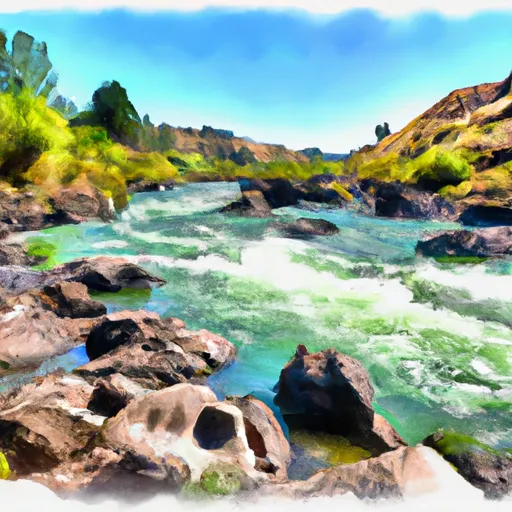 Grande Ronde River (Lower)
-
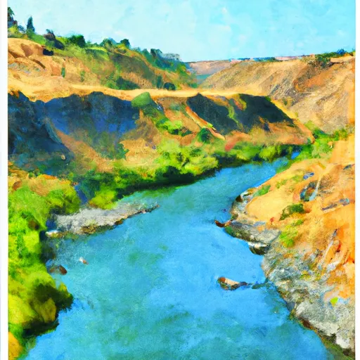 The Confluence With The Grande Ronde River
To Ends In The Slack Water Of The Lower Granite Reservoir, Located One Half Mile Above The Town Of Asotin, Washington
-
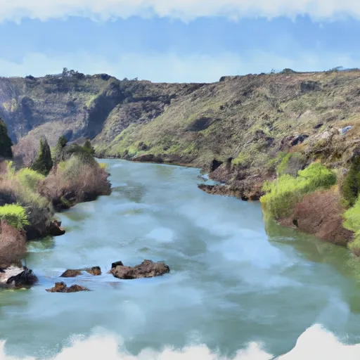 Snake River - 4.01
-
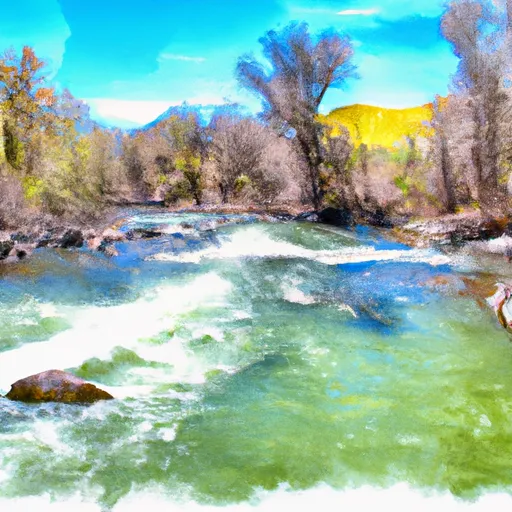 Joseph Creek
-
 The Northern Boundary Of The Wallowa-Whitman National Forest To The Confluence With The Grande Ronde River
