Atwell Mill Trail Bridge At ~5,800 Ft (Boundary Extends 0.25 Mile On Each Side Of The River.) To Boundary Of Sequoia & Kings Canyon National Park Paddle Report
Last Updated: 2026-02-07
The Whitewater River Run on the Atwell Mill Trail Bridge in California is a popular destination for whitewater enthusiasts.
Summary
The ideal streamflow range for this river run ranges from 500 to 800 cubic feet per second (cfs) and is classed as a Class III to IV rapid, making it suitable for intermediate to advanced level paddlers.
The segment mileage of the Whitewater River Run is about 7 miles, starting at the Atwell Mill Trail Bridge and extending up to the boundary of Sequoia & Kings Canyon National Park. Some of the specific river rapids and obstacles include the S-turn rapid, the Roller Coaster rapid, and the Corner Pocket rapid, which provide exciting and challenging experiences for paddlers.
To ensure safety and protect the environment, there are specific regulations that apply to the area. Paddlers are required to wear life jackets and helmets, and groups are limited to no more than six people per permit. Camping and campfires are not allowed along the riverbank, and visitors are expected to follow Leave No Trace principles.
Overall, the Whitewater River Run on the Atwell Mill Trail Bridge is a thrilling and challenging experience for whitewater enthusiasts. It offers exciting rapids and obstacles, and visitors are expected to follow regulations to ensure safety and protect the environment.
°F
°F
mph
Wind
%
Humidity
15-Day Weather Outlook
River Run Details
| Last Updated | 2026-02-07 |
| River Levels | 128 cfs (8.2 ft) |
| Percent of Normal | 84% |
| Status | |
| Class Level | iii |
| Elevation | ft |
| Run Length | 8.0 Mi |
| Streamflow Discharge | cfs |
| Gauge Height | ft |
| Reporting Streamgage | USGS 11206820 |
5-Day Hourly Forecast Detail
Area Campgrounds
River Runs
-
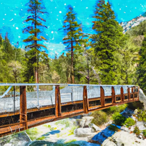 Atwell Mill Trail Bridge At ~5,800 Ft (Boundary Extends 0.25 Mile On Each Side Of The River.) To Boundary Of Sequoia & Kings Canyon National Park
-
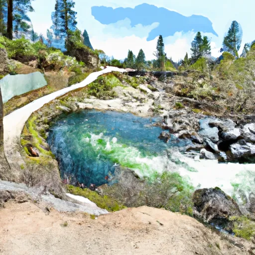 8,000 Ft Contour Line (Boundary Extend 0.25 Mile On Each Side Of River) To The Atwell Mill Trail Bridge At ~ 5,800 Ft
-
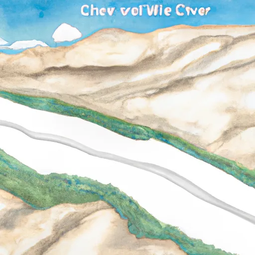 9,000 Ft Contour Line (Boundary Extend 0.25 Mile On Each Side Of River) To 8,000 Ft Contour Line
-
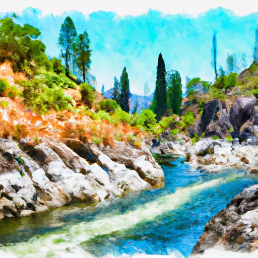 Wilderness Boundary (Boundary Extend 0.25 Mile On Each Side Of River) To Boundary Of Sequoia & Kings Canyon National Park
-
 Confluence Of Lone Pine And Hamilton (Deer) Creeks (Boundary Extend 0.25 Mile On Each Side Of River) To Wildernes Boundary
-
 Outlet Of Green Meadows North Of The Windy Gap And Windy Ridges (Boundary Extend 0.25 Mile On Each Side Of River) To Bridge Above South Fork Campground


 Atwell Mill - Sequoia National Park
 Atwell Mill
 Cold Springs - Sequoia National Park
 Buckeye Flat - Sequoia National Park
 Buckeye Flat
 Bearpaw Meadow High Sierra Camp