2026-02-21T10:00:00-08:00
* WHAT...Low temperatures from to ten degrees with isolated locations reaching 5 degrees below zero above 6,000 feet of the Sierra Nevada. Low temperatures of 10 to 20 degrees in the Sierra Nevada below 6,000 feet into the adjacent foothills. * WHERE...A portion of central California. * WHEN...Until 10 AM PST Saturday. * IMPACTS...Dangerous frostbite possible on unprotected skin. Wind chills reaching well below zero degrees on Friday morning.
Summary
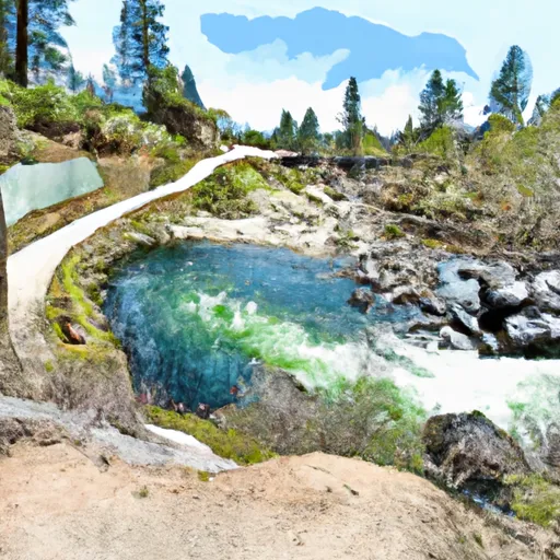
The ideal streamflow range for this run is between 200 and 1000 cubic feet per second (cfs). The class rating of the run is between III and V, with some challenging obstacles, such as the "Meatgrinder" and "Souse Hole".
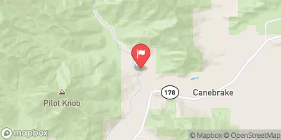
The segment mileage of the run is approximately 14 miles, starting at the confluence of Lone Pine and Hamilton (Deer) Creeks, and extending to the wilderness boundary. The river rapids and obstacles vary throughout the run, with some sections requiring technical skill and others providing thrilling waves and drops.
Regulations for the area include a boundary extend of 0.25 mile on each side of the river, which is strictly enforced to protect the wilderness area. All visitors must obtain a permit from the Bureau of Land Management and follow Leave No Trace principles to minimize impact on the ecosystem.
°F
°F
mph
Wind
%
Humidity
15-Day Weather Outlook
River Run Details
| Last Updated | 2026-02-07 |
| River Levels | 128 cfs (8.2 ft) |
| Percent of Normal | 84% |
| Status | |
| Class Level | None |
| Elevation | ft |
| Run Length | 11.0 Mi |
| Streamflow Discharge | cfs |
| Gauge Height | ft |
| Reporting Streamgage | USGS 11206820 |
5-Day Hourly Forecast Detail
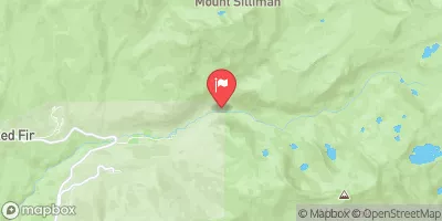
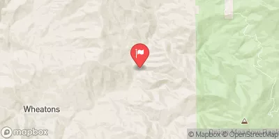
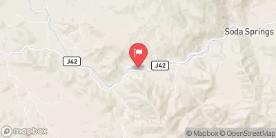
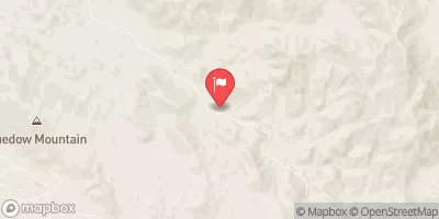
Nearby Streamflow Levels
Area Campgrounds
| Location | Reservations | Toilets |
|---|---|---|
 Bearpaw Meadow High Sierra Camp
|
||
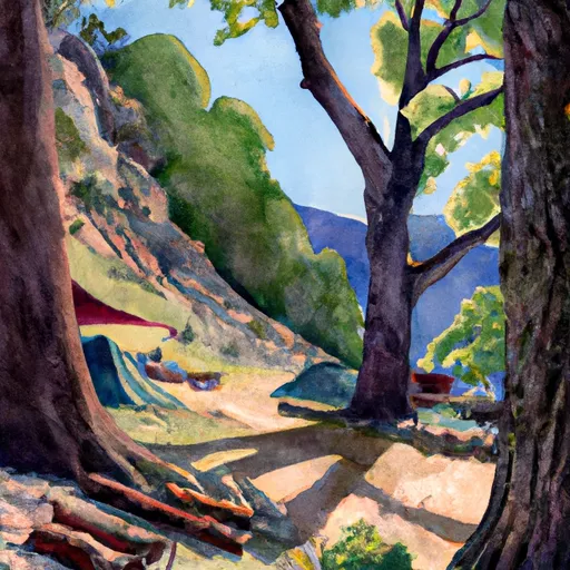 Hamilton creek side campsite
|
||
 lakeside campsites
|
||
 lakeside bluff campsites
|
||
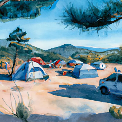 hillside campsite
|
||
 log benches campsite
|
River Runs
-
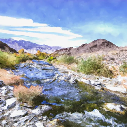 Confluence Of Lone Pine And Hamilton (Deer) Creeks (Boundary Extend 0.25 Mile On Each Side Of River) To Wildernes Boundary
-
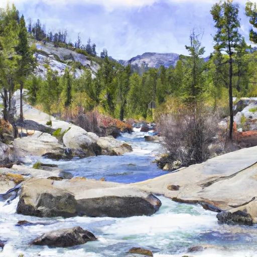 Lake 10,559 (Boundary Extend 0.25 Mile On Each Side Of River) To Wilderness Boundary Just Below Tokopah Falls
-
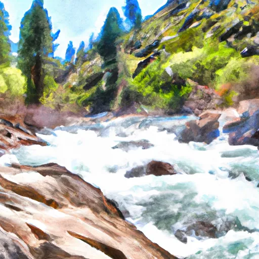 Wilderness Boundary Just Below Tokopah Falls (Boundary Extend 0.25 Mile On Each Side Of River) To Confluence With The Middle Fork Kaweah River
-
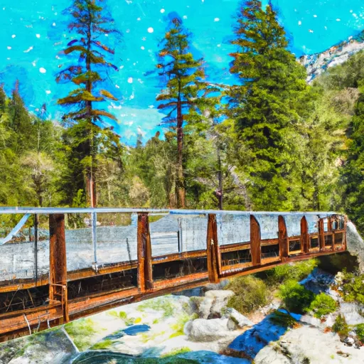 Atwell Mill Trail Bridge At ~5,800 Ft (Boundary Extends 0.25 Mile On Each Side Of The River.) To Boundary Of Sequoia & Kings Canyon National Park
-
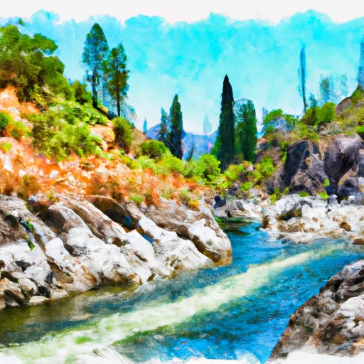 Wilderness Boundary (Boundary Extend 0.25 Mile On Each Side Of River) To Boundary Of Sequoia & Kings Canyon National Park
-
 8,000 Ft Contour Line (Boundary Extend 0.25 Mile On Each Side Of River) To The Atwell Mill Trail Bridge At ~ 5,800 Ft


