Lake 10,559 (Boundary Extend 0.25 Mile On Each Side Of River) To Wilderness Boundary Just Below Tokopah Falls Paddle Report
Last Updated: 2026-02-07
The Whitewater River Run from Lake 10,559 to the Wilderness Boundary Just Below Tokopah Falls in California is a thrilling and challenging river run that offers a range of rapids and obstacles for experienced whitewater enthusiasts.
Summary
The ideal streamflow range for this segment of the river is between 400 and 700 cubic feet per second (cfs) during the spring and early summer months.
The class rating for this segment of the river ranges from Class III to Class IV, making it suitable for experienced paddlers with advanced skills and the ability to navigate technical rapids and obstacles. The segment mileage is approximately 7.5 miles, offering ample opportunities for adventure and exploration.
Specific river rapids and obstacles on this segment of the river include Devil's Elbow, a Class IV rapid with a sharp drop and tight turn, as well as Toadstool, a technical Class III rapid with multiple channels and obstacles to navigate.
In terms of regulations, the area is managed by the National Park Service and requires a wilderness permit for overnight camping and backcountry travel. Additionally, visitors must adhere to Leave No Trace principles and pack out all trash and waste.
Overall, the Whitewater River Run from Lake 10,559 to the Wilderness Boundary Just Below Tokopah Falls offers a challenging and exciting whitewater experience for experienced paddlers, with a range of rapids and obstacles to navigate and stunning natural scenery to enjoy.
°F
°F
mph
Wind
%
Humidity
15-Day Weather Outlook
River Run Details
| Last Updated | 2026-02-07 |
| River Levels | 128 cfs (8.2 ft) |
| Percent of Normal | 84% |
| Status | |
| Class Level | iii-iv |
| Elevation | ft |
| Run Length | 4.0 Mi |
| Streamflow Discharge | cfs |
| Gauge Height | ft |
| Reporting Streamgage | USGS 11206820 |
5-Day Hourly Forecast Detail
Area Campgrounds
River Runs
-
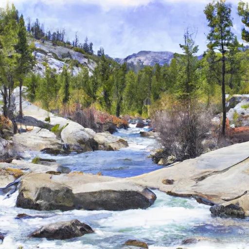 Lake 10,559 (Boundary Extend 0.25 Mile On Each Side Of River) To Wilderness Boundary Just Below Tokopah Falls
-
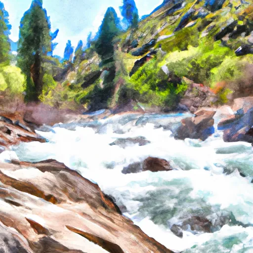 Wilderness Boundary Just Below Tokopah Falls (Boundary Extend 0.25 Mile On Each Side Of River) To Confluence With The Middle Fork Kaweah River
-
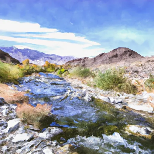 Confluence Of Lone Pine And Hamilton (Deer) Creeks (Boundary Extend 0.25 Mile On Each Side Of River) To Wildernes Boundary
-
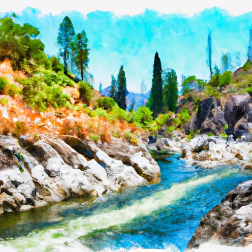 Wilderness Boundary (Boundary Extend 0.25 Mile On Each Side Of River) To Boundary Of Sequoia & Kings Canyon National Park
-
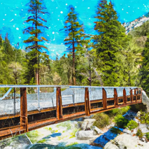 Atwell Mill Trail Bridge At ~5,800 Ft (Boundary Extends 0.25 Mile On Each Side Of The River.) To Boundary Of Sequoia & Kings Canyon National Park


 Bearpaw Meadow High Sierra Camp
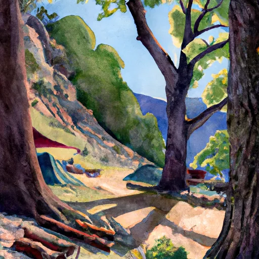 Hamilton creek side campsite
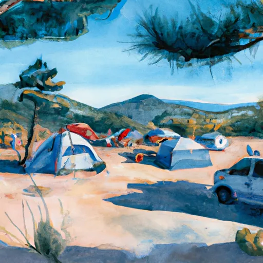 hillside campsite
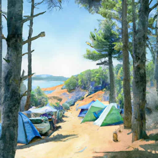 lakeside campsites
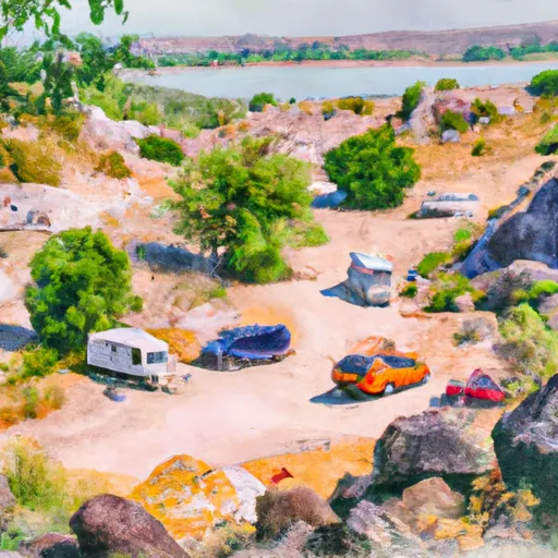 lakeside bluff campsites
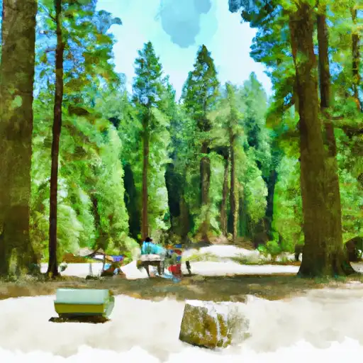 Lodgepole - Sequoia National Park