Alta Ski Area Snow Report
Community Reviews
Been here? Share the conditions.
Reviews, ratings & photos are added in the free Snoflo iOS app — rate a spot, tag the conditions, and your visit is verified by location. Add or manage your reviews from the app.
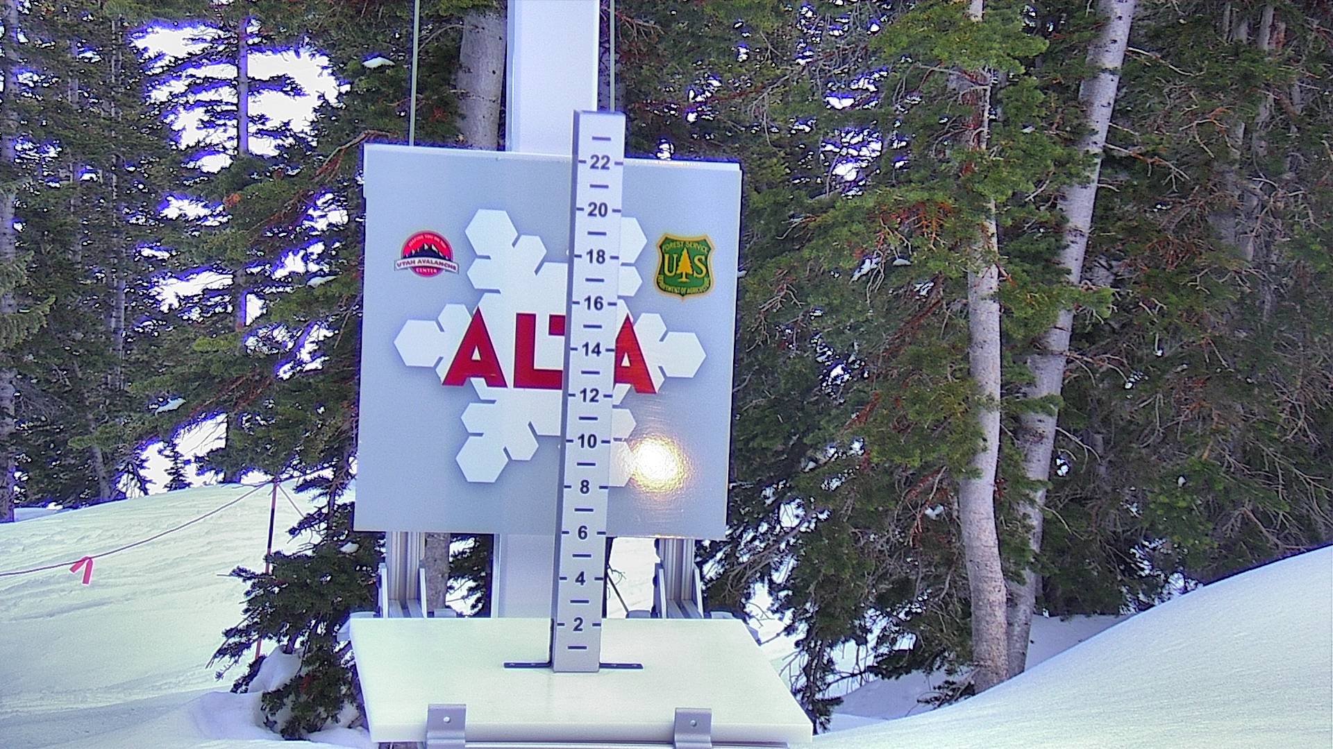
Alta Ski Area
Alta Ski Area is a world-renowned ski resort in Utah, United States. With over 2,200 acres of skiable terrain, it offers some of the best skiing in North America. One of its most famous trails is High Rustler, which is considered one of the most challenging in the world. Interestingly, Alta was one of the first ski areas in the United States to allow snowboarding in 2008. For beginners, we recommend taking the Sunnyside lift and trying out the gentle slopes of Albion Basin. After a long day on the slopes, a visit to the Sitzmark Club is a must for the best après ski experience with live music and drinks.
Terrain mix: The pertinent mountain ranges and mountain aspects of Alta Ski Area in the United States include:
1. The Wasatch Mountain Range: Alta Ski Area is located in the Wasatch Mountains in Utah. The Wasatch Range is known for its steep terrain, deep snow, and challenging ski runs.
2. Baldy Mountain: Baldy Mountain is the main peak at Alta Ski Area, with a summit elevation of 11,068 feet. It offers a variety of ski runs ranging from beginner to expert level.
3. Sugarloaf Mountain: Sugarloaf Mountain is another prominent peak at Alta Ski Area, with a summit elevation of 11,051 feet. It is known for its challenging terrain and steep slopes.
4. Mount Superior: Mount Superior is a prominent peak located near Alta Ski Area, with a summit elevation of 11,040 feet. It offers some of the most challenging and technical ski runs in the area.
5. Devil's Castle: Devil's Castle is a distinctive rock formation located within Alta Ski Area. It is known for its rugged terrain and steep chutes, making it a popular destination for expert skiers.
Overall, Alta Ski Area offers a unique and diverse range of mountain terrain, with steep slopes, deep powder, and challenging ski runs for all levels of skiers and snowboarders.
Plan your day down to the hour
Same weather feed Snoflo's iOS app uses -- updated continuously from NOAA / yr.no. Watch the snow column the morning of a storm to know when to call in sick.
Next 5 days, hour by hour
Temperature line with weather symbols on top, snow + rain accumulation as columns, humidity as a dotted line.
5-day forecast table
Every 3 hours, broken out across temperature, snow, rain, humidity, and wind. Each cell is colour-coded relative to the column min/max.
| Time | Condition | Temp (°F) | Snow (in) | Rain (in) | Humidity (%) | Wind (mps) | Wind dir |
|---|---|---|---|---|---|---|---|
| Loading detailed forecast… | |||||||
15-day temperature & snow
Daily temperatures, snow, and rain projected over the next two weeks -- start of next storm cycle, end of last one.
What forecasters are seeing
Plain-English forecast narrative from the local NWS office. Issued by NWS SLC.
Nearby SNOTEL stations
USDA NRCS SNOTEL stations within driving range. Cross-check whether the snow at Alta Ski Area is a one-off accumulation or a regional storm cycle.
| Station | Snowpack | View |
|---|---|---|
| 11k36 - Ree's Flat Snow Course | 1 in | → |
| Monte Cristo | 1 in | → |
| Swansons North Fork Environment | 9 in | → |
| Chalk Creek #2 | 1 in | → |
| Nohrsc Dry Fork | 1 in | → |
| Dry Fork | 1 in | → |
| Solitude Summit | 0 in | → |
| Peter Sinks | 0 in | → |
| Chalk Creek #1 | 2 in | → |
| Redden Mine Lwr | 2 in | → |
| Nohrsc White River #1 | 1 in | → |
| Knowlton Fork (Kf) | 1 in | → |
Beyond the slopes
Other ski areas, basecamp options, alpine fishing, and scenic stops near Alta Ski Area -- worth knowing whether you're in for a day, a long weekend, or a season pass.
Other ski areas
Campgrounds
- Albion Basin Campground
- Albion Basin
- Brighton Lds Girls Camp
- Redman
- Redman Campground-Slrd
- Camp Cloud Rim
Fishing spots
Parks
Mountain & avalanche safety
- Know before you go
- Check today's avalanche bulletin from the regional avalanche center before any off-piste / side-country / backcountry travel. Conditions can shift dramatically between morning and afternoon on storm days.
- Carry the gear, know how to use it
- Beacon, shovel, probe. Practice companion rescue on a calm day, not during a real burial.
- Mind the weather window
- Heavy snow + wind builds wind slabs at ridgelines. The day after a storm is often the riskiest in the backcountry, even if the resort itself is open.
- Respect closed terrain
- Ropes are there for a reason. Even in-bounds, ducking a closure can trigger a slide that catches you and others below.
Track Alta Ski Area in the Snoflo app
Save this resort as a favorite, set push alerts when snowfall crosses a threshold (e.g. "alert me when Alta Ski Area reports 6″ new"), and Snoflo's iOS app will push the moment the SNOTEL station crosses.
About Alta Ski Area
Where does the snow data for Alta Ski Area come from?
Snowpack, SWE, 24-hour snowfall, and air temperature come from the nearest USDA NRCS SNOTEL station. Forecast comes from the National Weather Service / yr.no feed that Snoflo's iOS app uses.
How often is the snow report updated?
Snowpack and SNOTEL data are updated continuously by NRCS (typically hourly). The 15-day weather forecast is refreshed throughout the day. Snoflo caches and renders the most recent observation -- look for the "as of" timestamp on the snowpack hero.
What's the elevation at Alta Ski Area?
See the Resort Metrics panel above for base / summit / vertical drop. The summit elevation drives snowpack accumulation -- higher summits hold snow longer through spring.
How is "% of normal" calculated?
Today's snowpack is compared to the average snowpack on this calendar day across every recorded year at the nearest SNOTEL. 100% means right on average; 130% is a big year; 60% is thin.
What ski resorts are near Alta Ski Area?
See the Other Ski Areas pill grid at the bottom of the page for resorts within driving distance. The sister Other Ski Areas card in the Plan-a-longer-trip grid above shows the closest few.
Can I get alerts when fresh snow hits?
Yes -- snow alerts are managed in the Snoflo iOS app. Favorite this resort, set a snowfall threshold (e.g. "alert me when 6+ inches"), and you'll get a push the moment the SNOTEL crosses.
Other resorts near here
Snoflo-tracked ski areas within driving distance of Alta Ski Area.