Vail snow report
Community Reviews
Been here? Share the conditions.
Reviews, ratings & photos are added in the free Snoflo iOS app — rate a spot, tag the conditions, and your visit is verified by location. Add or manage your reviews from the app.
Vail
Vail Ski Resort is located in Colorado, United States, and is one of the largest ski resorts in North America. It offers over 5,000 acres of skiable terrain with 195 trails, including some of the best blue and black diamond runs in the country. The resort also has a rich history, as it was founded by Pete Seibert, who served in the 10th Mountain Division during World War II and was inspired by the ski resorts in Europe. For beginners, a popular suggestion is to try out the Lionshead area, which has gentle slopes and a great ski school program. For après ski, the Garfinkel's bar is a popular choice, known for its lively atmosphere and affordable drinks.
Terrain mix: Vail Ski Resort in Colorado is located in the Rocky Mountains and specifically in the White River National Forest. The resort is surrounded by several mountain ranges, including the Gore Range, Sawatch Range, and the Holy Cross Wilderness. Some of the prominent peaks in the area include Vail Mountain, Beaver Creek Mountain, and the Gore Range peaks such as Mount Powell and Mount of the Holy Cross.
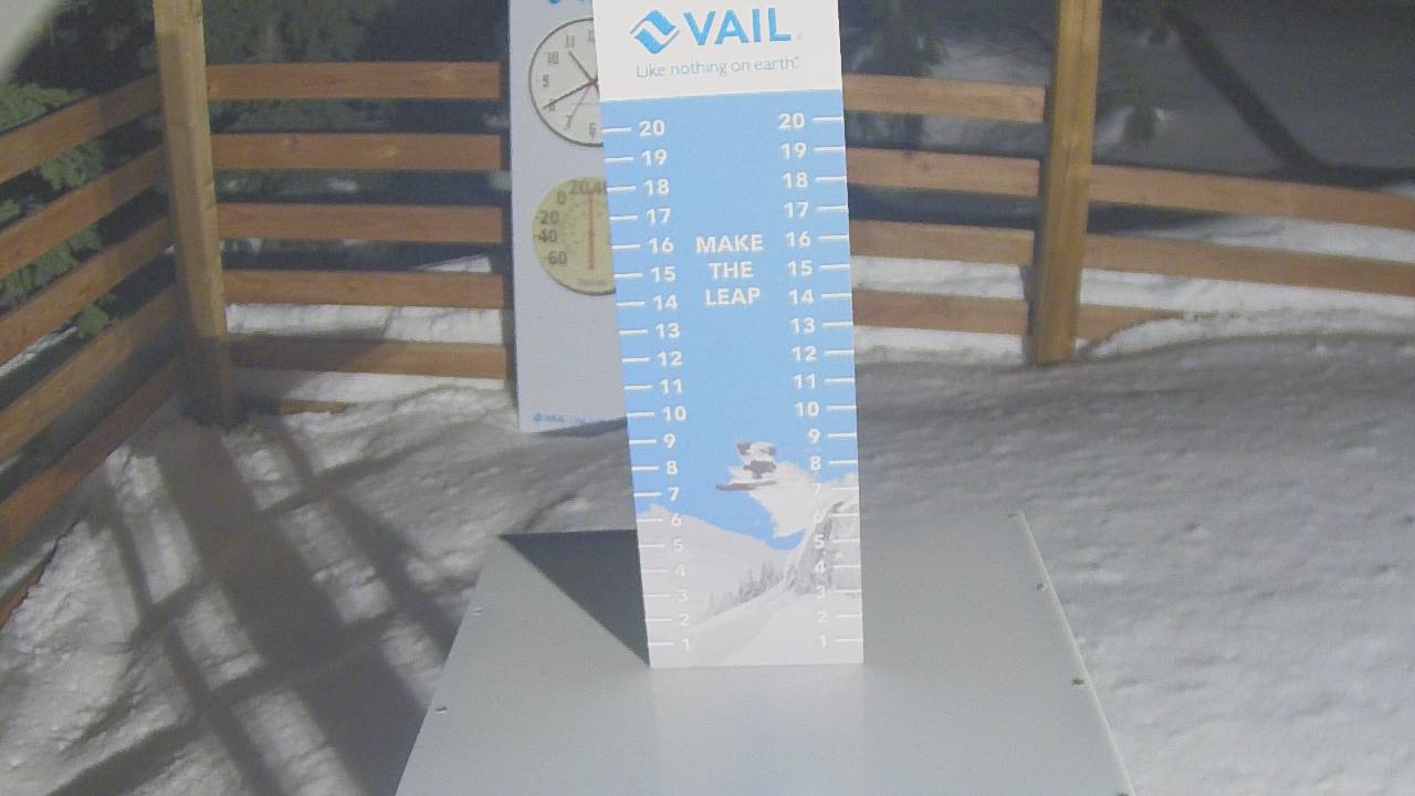
Vail Ski Resort offers a variety of terrain for skiers and snowboarders, with over 5,000 acres of skiable terrain, including groomed runs, moguls, glades, and backcountry areas. The mountain aspects at Vail include wide-open bowls, steep chutes, and tree-lined slopes, providing a diverse range of skiing and snowboarding experiences for all levels of ability.
Plan your day down to the hour
Same weather feed Snoflo's iOS app uses -- updated continuously from NOAA / yr.no. Watch the snow column the morning of a storm to know when to call in sick.
Next 5 days, hour by hour
Temperature line with weather symbols on top, snow + rain accumulation as columns, humidity as a dotted line.
5-day forecast table
Every 3 hours, broken out across temperature, snow, rain, humidity, and wind. Each cell is colour-coded relative to the column min/max.
| Time | Condition | Temp (°F) | Snow (in) | Rain (in) | Humidity (%) | Wind (mps) | Wind dir |
|---|---|---|---|---|---|---|---|
| Loading detailed forecast… | |||||||
15-day temperature & snow
Daily temperatures, snow, and rain projected over the next two weeks -- start of next storm cycle, end of last one.
Nearby SNOTEL stations
USDA NRCS SNOTEL stations within driving range. Cross-check whether the snow at Vail is a one-off accumulation or a regional storm cycle.
| Station | Snowpack | View |
|---|---|---|
| Castle Creek Near Aspen, Co | 2 in | → |
| Nohrsc Joe Wright | 5 in | → |
| Rawah | 1 in | → |
| Joe Wright | 4 in | → |
| Stagecoach Ski East | 6 in | → |
| Castle Peak | 1 in | → |
| Nohrsc Zirkel | 1 in | → |
| Vail Ski Area Mid-Mtn | 3 in | → |
| Lower Elk | 5 in | → |
| Nohrsc Little Snake River | 1 in | → |
| Cameron Pass | 4 in | → |
| Vail Ski Area Phq | 4 in | → |
Beyond the slopes
Other ski areas, basecamp options, alpine fishing, and scenic stops near Vail -- worth knowing whether you're in for a day, a long weekend, or a season pass.
Other ski areas
Campgrounds
Fishing spots
- Kiln Creek
- Nottingham Lake
- Black Lakes (Vail)
- Upper Cataract Lake
- Officers Gulch Pond
- Camp Hale Pond Fishing Pier
Parks
Mountain & avalanche safety
- Know before you go
- Check today's avalanche bulletin from the regional avalanche center before any off-piste / side-country / backcountry travel. Conditions can shift dramatically between morning and afternoon on storm days.
- Carry the gear, know how to use it
- Beacon, shovel, probe. Practice companion rescue on a calm day, not during a real burial.
- Mind the weather window
- Heavy snow + wind builds wind slabs at ridgelines. The day after a storm is often the riskiest in the backcountry, even if the resort itself is open.
- Respect closed terrain
- Ropes are there for a reason. Even in-bounds, ducking a closure can trigger a slide that catches you and others below.
Track Vail in the Snoflo app
Save this resort as a favorite, set push alerts when snowfall crosses a threshold (e.g. "alert me when Vail reports 6″ new"), and Snoflo's iOS app will push the moment the SNOTEL station crosses.
About Vail
Where does the snow data for Vail come from?
Snowpack, SWE, 24-hour snowfall, and air temperature come from the nearest USDA NRCS SNOTEL station. Forecast comes from the National Weather Service / yr.no feed that Snoflo's iOS app uses.
How often is the snow report updated?
Snowpack and SNOTEL data are updated continuously by NRCS (typically hourly). The 15-day weather forecast is refreshed throughout the day. Snoflo caches and renders the most recent observation -- look for the "as of" timestamp on the snowpack hero.
What's the elevation at Vail?
See the Resort Metrics panel above for base / summit / vertical drop. The summit elevation drives snowpack accumulation -- higher summits hold snow longer through spring.
How is "% of normal" calculated?
Today's snowpack is compared to the average snowpack on this calendar day across every recorded year at the nearest SNOTEL. 100% means right on average; 130% is a big year; 60% is thin.
What ski resorts are near Vail?
See the Other Ski Areas pill grid at the bottom of the page for resorts within driving distance. The sister Other Ski Areas card in the Plan-a-longer-trip grid above shows the closest few.
Can I get alerts when fresh snow hits?
Yes -- snow alerts are managed in the Snoflo iOS app. Favorite this resort, set a snowfall threshold (e.g. "alert me when 6+ inches"), and you'll get a push the moment the SNOTEL crosses.
Other resorts near here
Snoflo-tracked ski areas within driving distance of Vail.